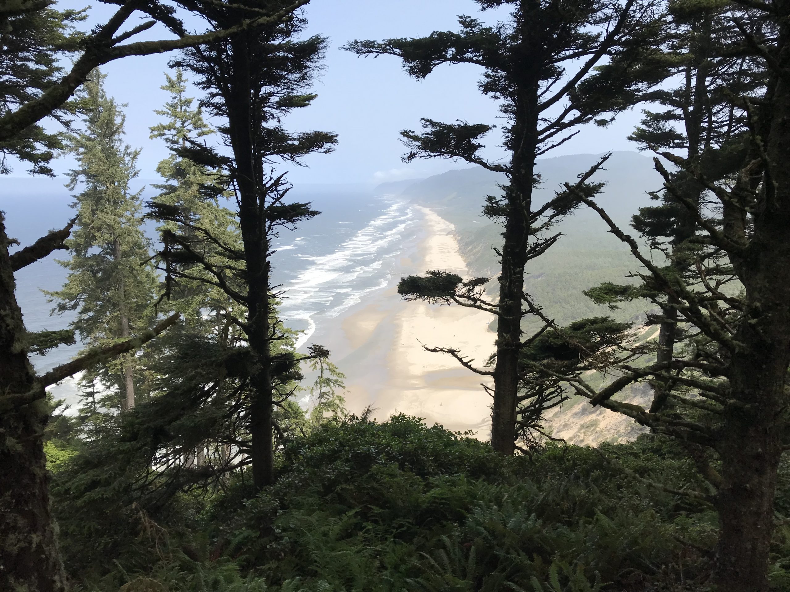
Crater Lake National Park in Oregon is spectacular to behold, but the park’s centerpiece, Wizard Island, truly enchants visitors.
Wizard Island is striking because it appears unreal, as though it was pulled from the pages of a fantasy novel, here’s how I might [poorly] describe such a mystical setting-
Seeing the island for the first time I could only describe this place as the dominion of a sorcerer, a fortress where he/she can perform incantations in solitude. The isle looks as though it was inspired by a familiar clothing item, something mundane and convenient – the magi’s hat; the island gently rises from all sides to a center point, the top appears mischievous as though the fabric has deliberately toppled to the far side. Surrounding the castle is a beguiling blue-colored lake, a gigantic moat that is miles across and terrifyingly deep! The island is fortified too; soldiers of green trees stand guard, expecting an attack from the water they are numerous near the shore, only to have their numbers fray at the ramparts. In the distance, immense cliffs stab into the sky creating an impenetrable wall of stone. The scene is inspiring, beautiful…serene. A cool wind gently blows past and whispers about the power of a hellish phantasm that was once unleashed and devoured a mountain, possibly of a battle between Gods. The island captivates the soul; its beauty too alluring, this grandeur too inspiring, the enchantment…too intoxicating. The wind’s gentle whisper beckons to visit, to explore this place – to walk in its magic.
The best part about Wizard Island is that it is not a fictional destination, this spellbinding place really can be explored, though your time on the island is limited to just a couple of hours.
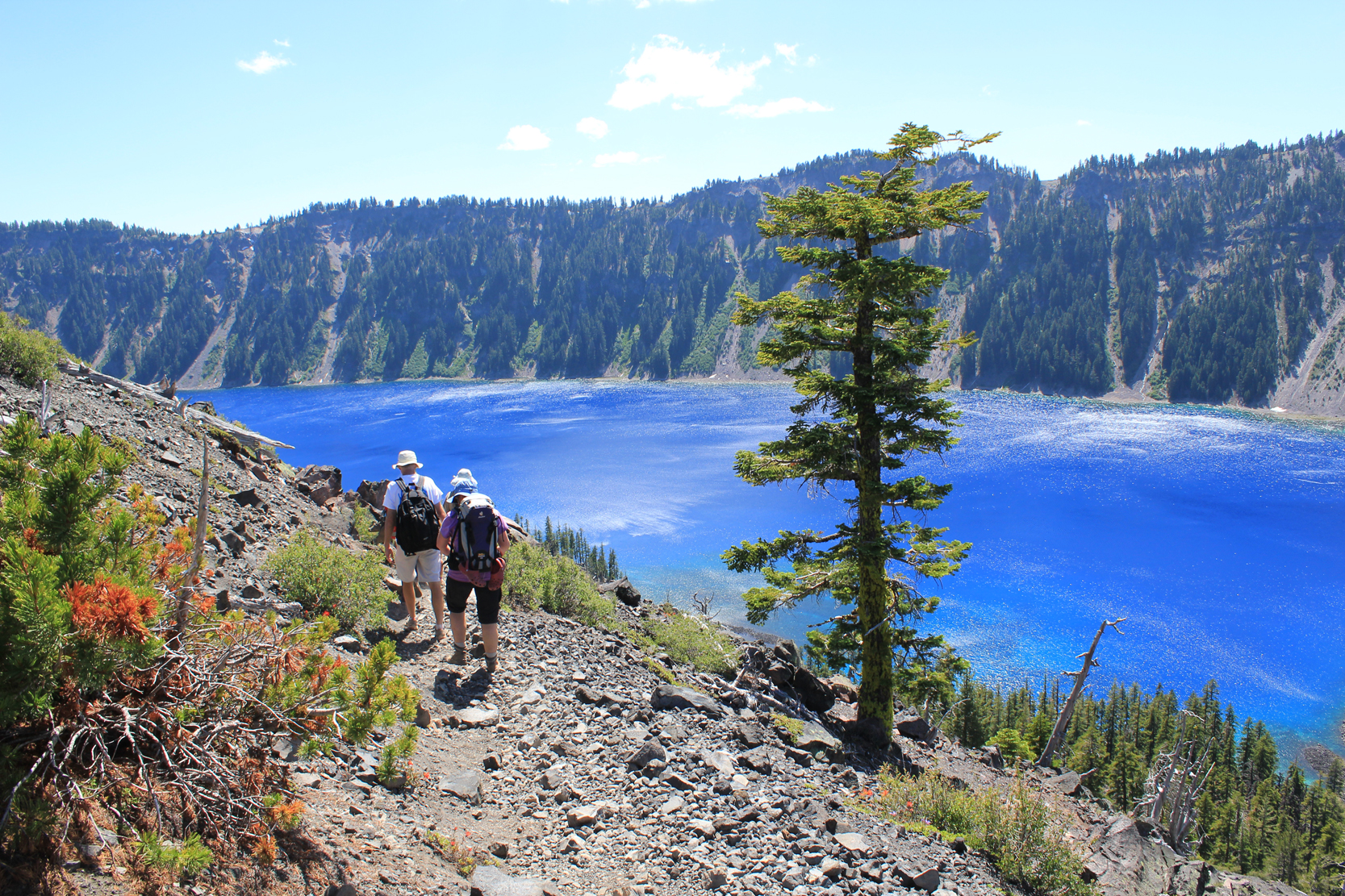
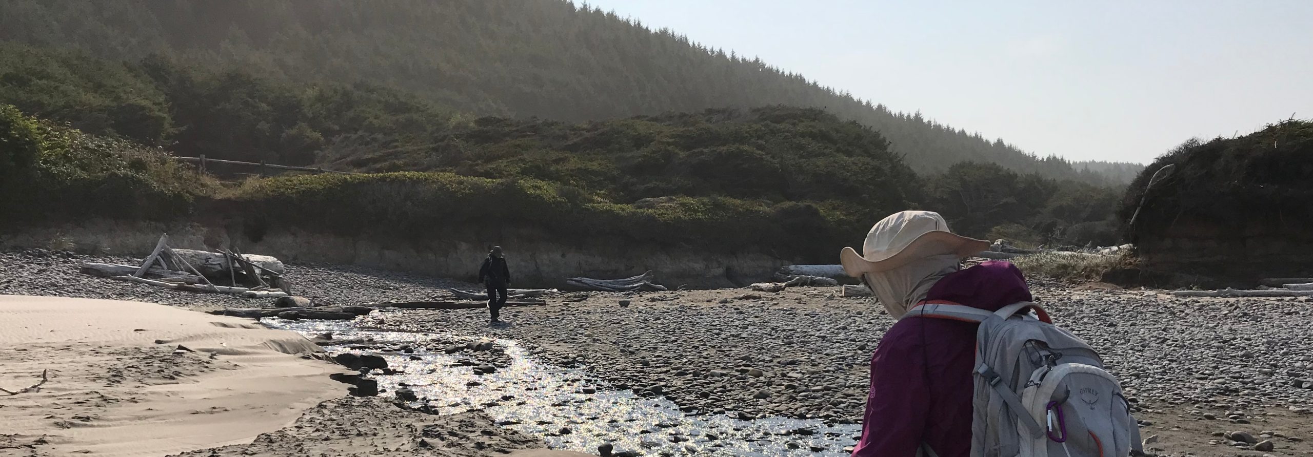
Like most adventures, be flexible on your journey; while camping at the park I tried, for several days, to obtain tickets for the boat ride to Wizard Island. Unfortunately, weather concerns and mechanical problems caused delays. On the third day, the stars aligned and tickets were quickly in hand. After a quick scramble for gear, my family and some friends drove to the opposite side of the massive crater to the Cleetwood Cove parking lot.
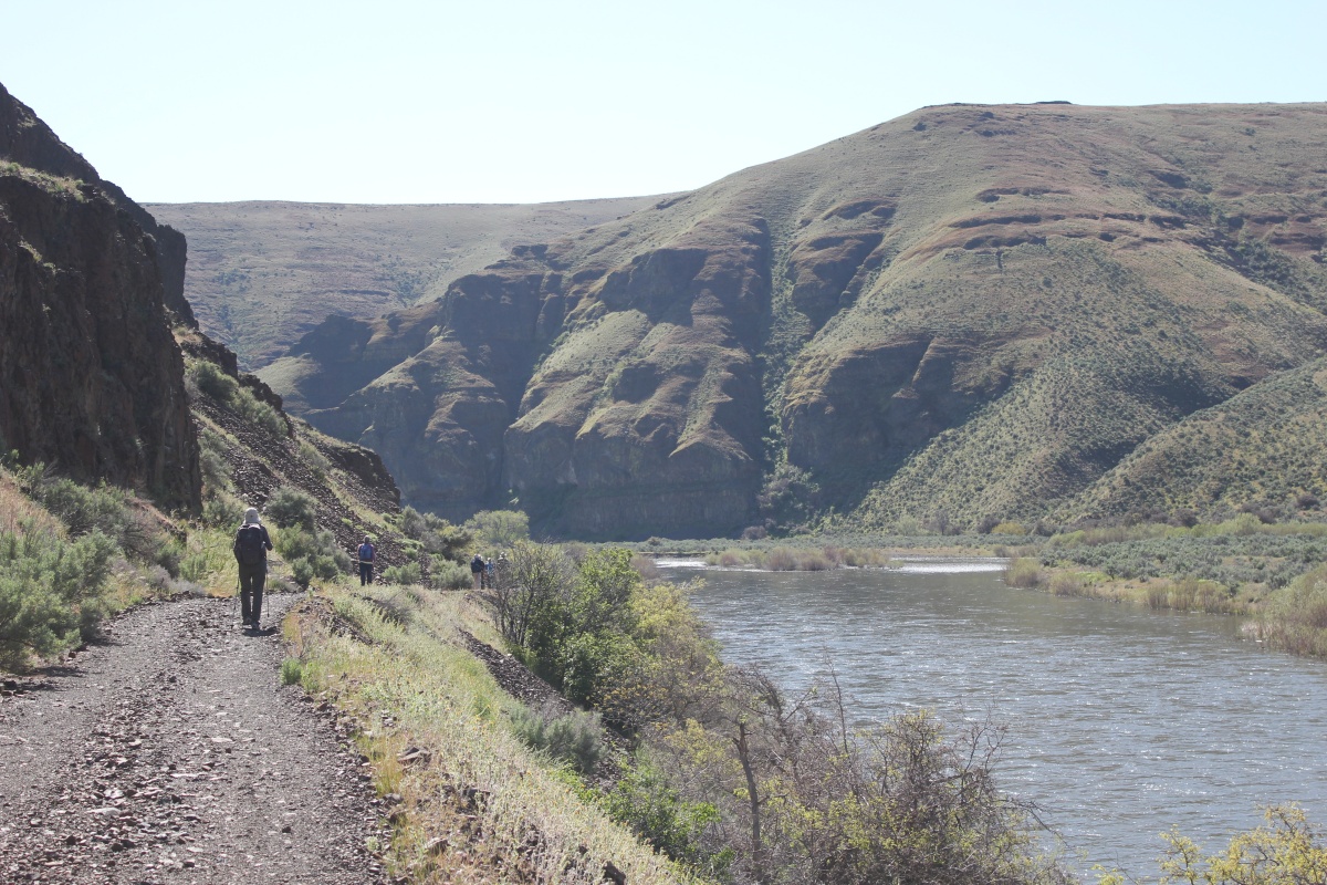
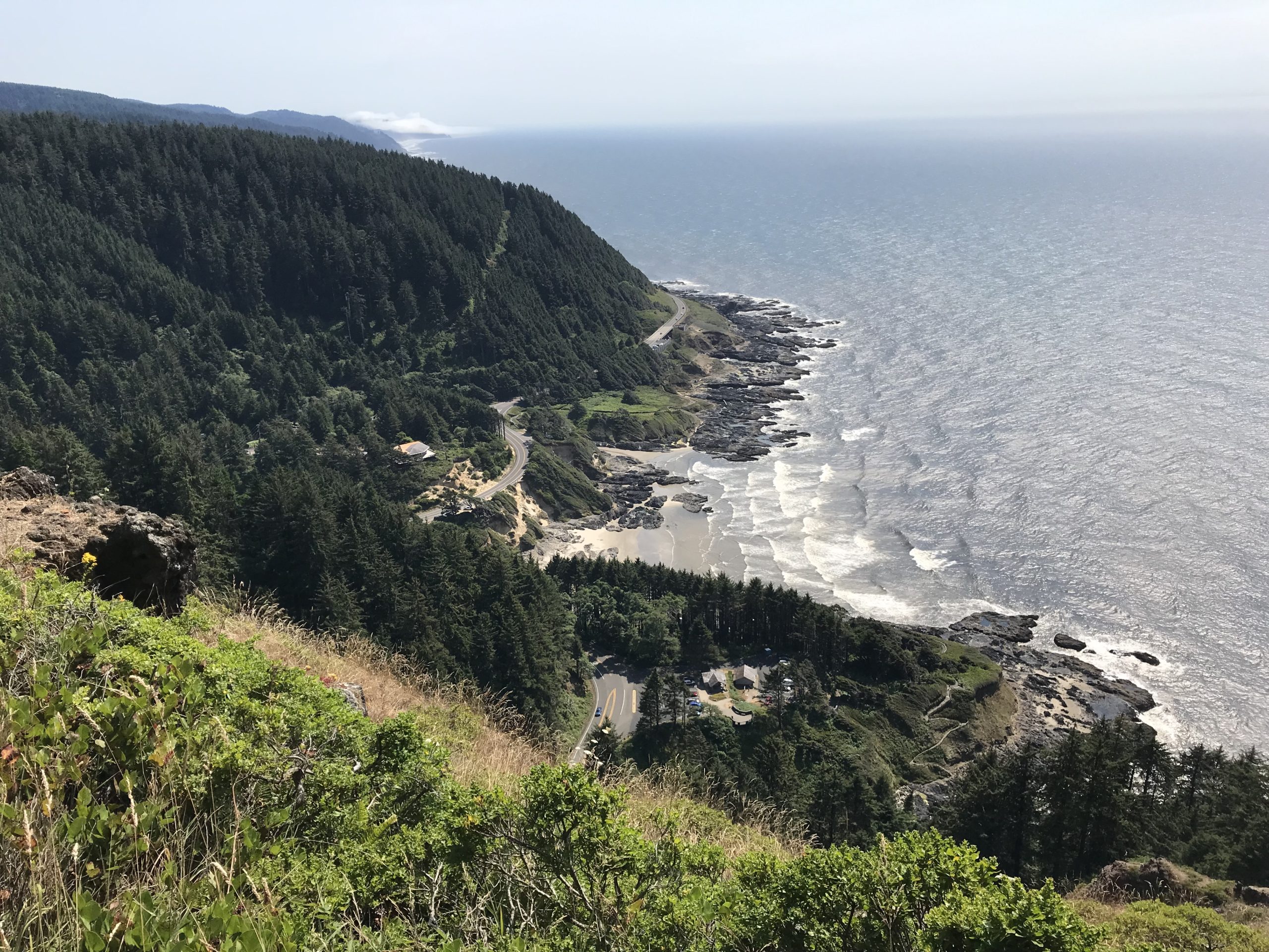
The hike to Cleetwood Cove is a 1-mile long, 700-foot descent down the side of the crater.
At the water’s edge was our boat to Wizard Island, about 25 or so people boarded, then we were off.
What is most fascinating about the boat ride is the perspective – a view not fully appreciated from seeing Crater Lake from the rim. Being at the lake’s surface you feel like a small toy boat in a gigantic bathtub, it is an awe-inspiring method to better appreciate just how immense Crater Lake is-
- The lake stretched beyond our boat in all directions, the crater’s oval shape is a massive 5-miles by 6-miles wide.
- Below our boat, at the deepest point, was 1,943 feet of water – that’s equal to a 180-story building below us!
- Around us the rim towered overhead, it ranged in height from 700 feet to 1,800 feet.
Most fascinating, this entire place literally went to hell about 7,700 years ago when the 12,000-foot Mount Mazama erupted – the eruption was 42 times greater than the eruption of Mount St. Helens in 1980*. Riding over the waves it is hard to imagine that the original mountain once stood 1 mile above us and a quarter mile below our tiny boat, and within the course of 2 violent days…completely disappeared in one eruption.
The eruption was recorded in Klamath Native American oral traditions; it tells of two Gods, Skell, and Llao who fought. It was their battle that caused the eruption of Mount Mazama and left many of the geographic features seen today.
Over time the volcano eventually settled down, though, in the process left behind several gigantic cones, which rise from the crater, several are underwater, the one above the water’s surface is Wizard Island.
The water of Crater Lake is from snowmelt – it is clear, pure, and cold! Its clarity allows light to penetrate to great depths, which absorbs longer rays of light (like red) while scattering and reflecting shorter rays (like blue). When we peer into the water we see these scattered/reflected blue shorter rays.
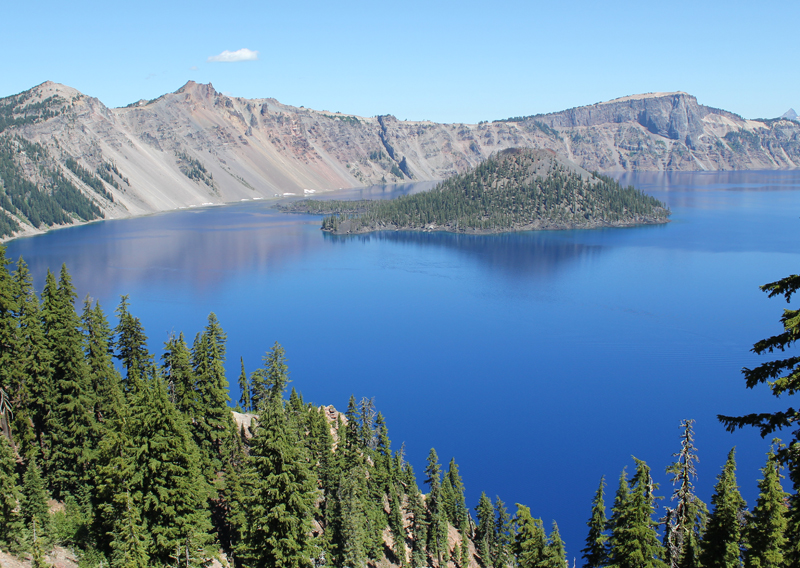
 Approaching Wizard Island, even several miles away, is very impressive.
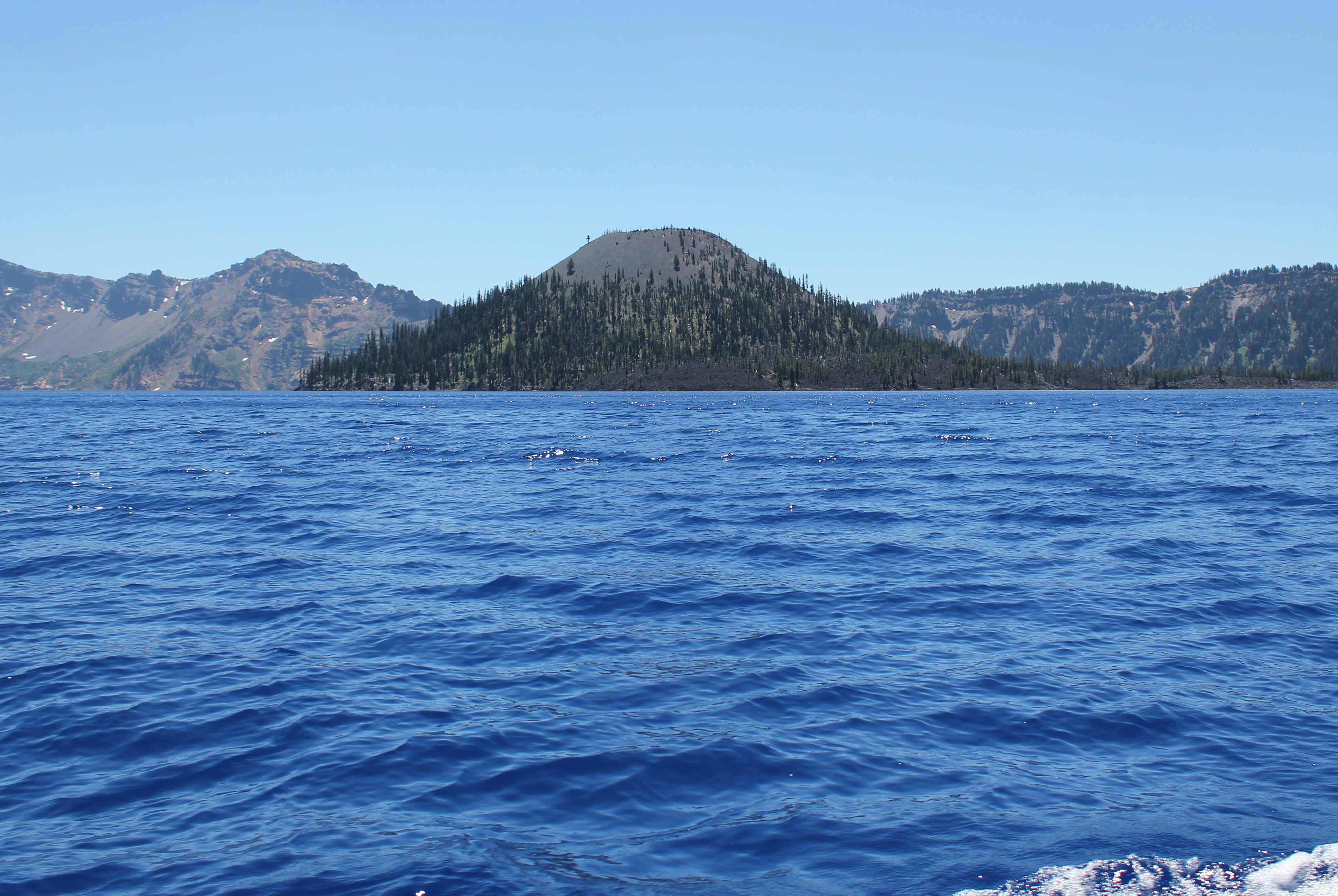
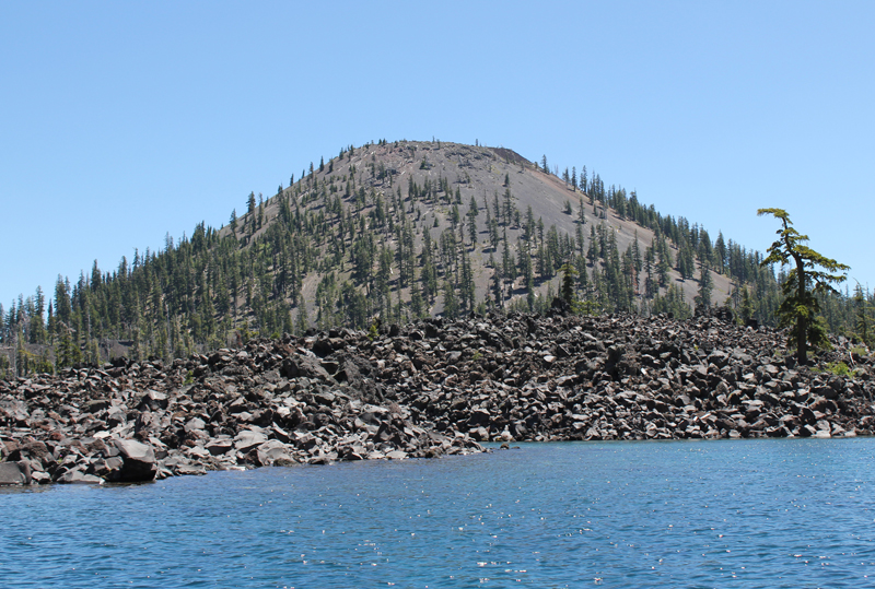 As the boat approaches Wizard Island the size and grandeur of this volcanic cone become apparent.
 Hiking to the top of Wizard Island the trail climbs 760 feet, but this is nothing compared to the eastern rim of the crater which towers above me. In the photo, the Watchman scrapes the sky at 1840 feet above the lake’s surface. Seen between the trees, on the water (crossing Skell Channel) is a small white line, this is one of the boats that transport passengers to the island.
 The views hiking to the top of Wizard Island are jaw-dropping.
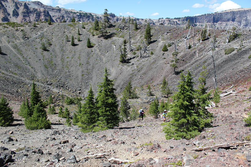 Think of Wizard Island as a small volcano, and it has a crater; this picture shows several people hiking out. The rim of Crater Lake looms on the horizon.
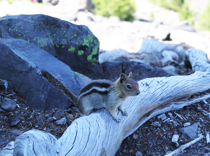 This Ground Squirrel is a resident of Wizard Island. He was demanding a food tithe from me for visiting his island retreat.
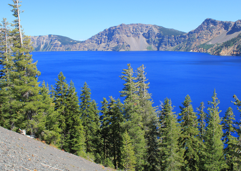
 A view from atop Wizard Island looking across Crater Lake to the opposite rim which is about 5 miles away. The blue color is just magnificent.
 Hiking down the cinder cone we enjoy a rich tapestry of colors – a masterpiece painted by nature!
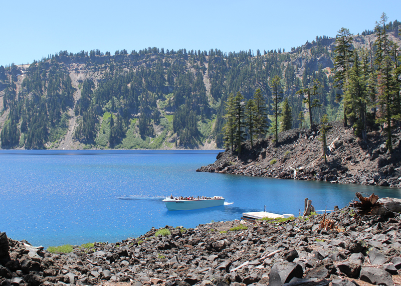 This is one of the few boats allowed on Crater Lake. It is seen here delivering visitors; this boat will take us on our return trip around the lake’s perimeter in a counterclockwise direction. Our next stop was the southern shore to see a slide area and the Phantom Ship.
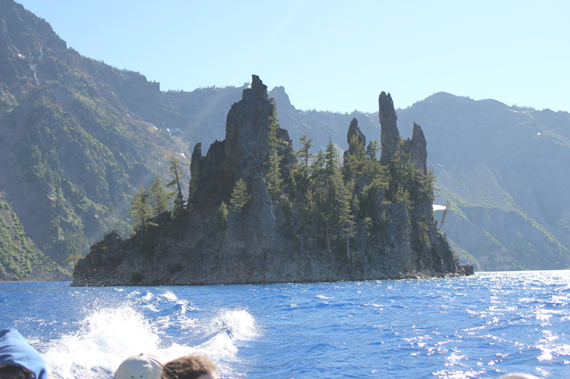 The spires of the Phantom Ship, an island in the lake, which under low-light conditions resembles a ghost ship.
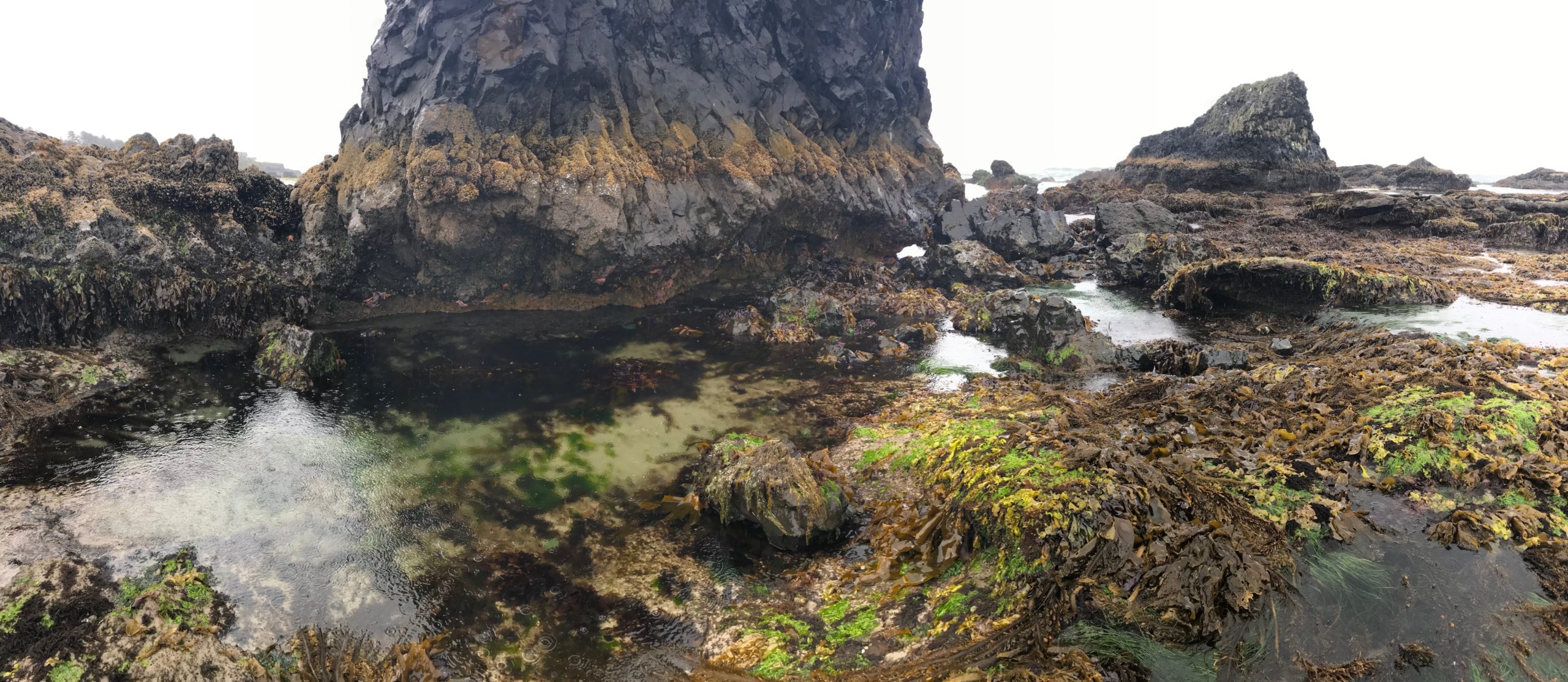
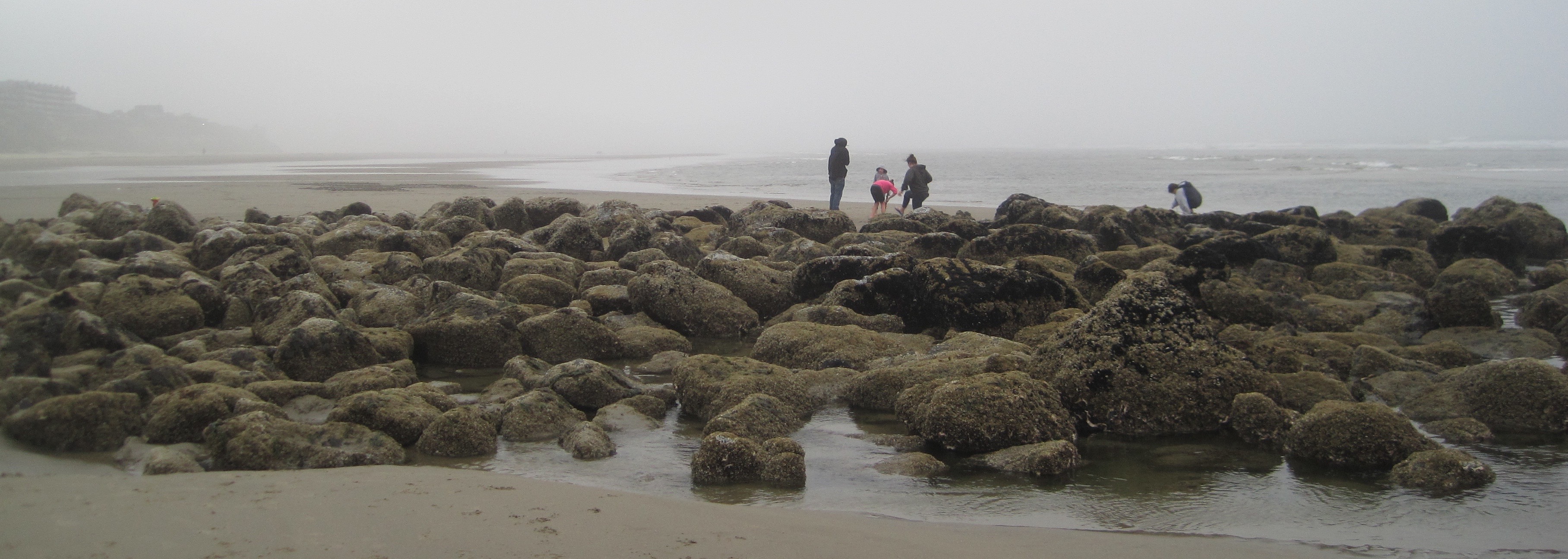
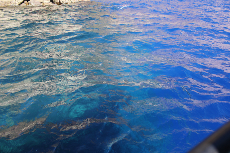 Looking into the water from the edge of the boat we saw this dramatic difference in color. The interpreter on the boat said the contrast was because we were passing over an underwater ledge, to the left the water depth was about 900 feet, to the right the depths plunged to 1,600 feet!
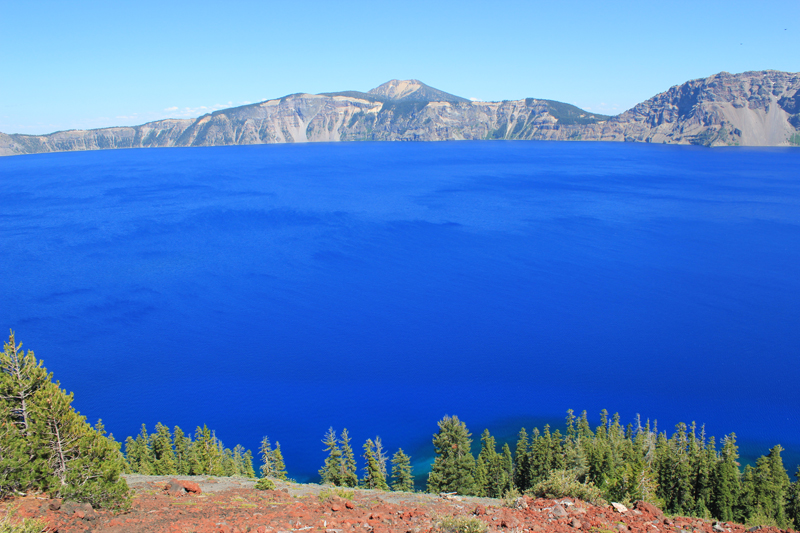
 Crater Lake’s legendary “blue” water.
*Wikipedia reference “Mount Mazama.â€
» Find out more about boat rides to Wizard Island
» Find out more about Crater Lake National Park

 Trip Report:
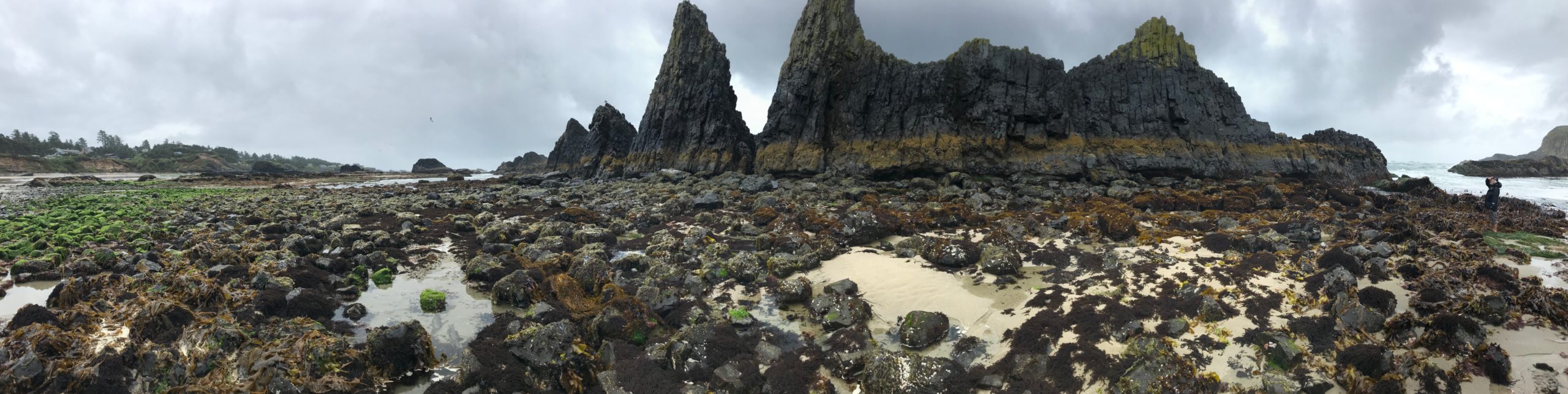


 My visit to the tallgrass with my Father started in the town of Pawhuska, Oklahoma, close to the preserve’s southern entrance. The drive down a paved county road was surrounded by woodlands but this soon turned to prairie and the road turned to gravel and then a packed caliche clay.
 A plaque near the entrance of the preserve includes the text, “The Tallgrass Prairie Preserve. You stand at the south edge of the largest unplowed, protected tract which remains of the 142 million acres of tallgrass prairie grasslands that once stretched from Canada to the Gulf of Mexico. Today, less than ten percent still exists, found mostly in the Flint Hills and Osage Hill regions of Kansas and Oklahoma. In an increasingly crowded and noisy world, what you see is an oasis of space and silence. Here you can experience the same beautiful vistas that greeted the earliest human hunters and gathers many thousands of years ago. This area is indeed a national treasure. Please treat it with respect.â€
 Further beyond a few dark bison sentinels stood at the side of hills, these were apparently lone males who had been pushed out from the herds. The mature males, after mating, are no longer needed by the female-dominated herds and are excluded.
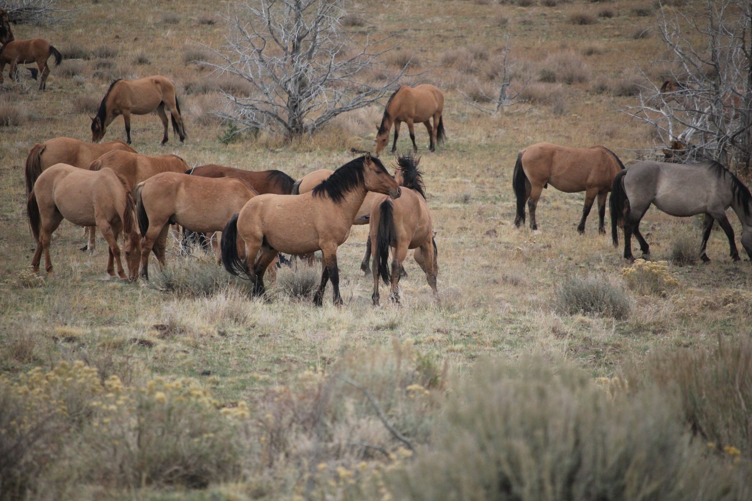
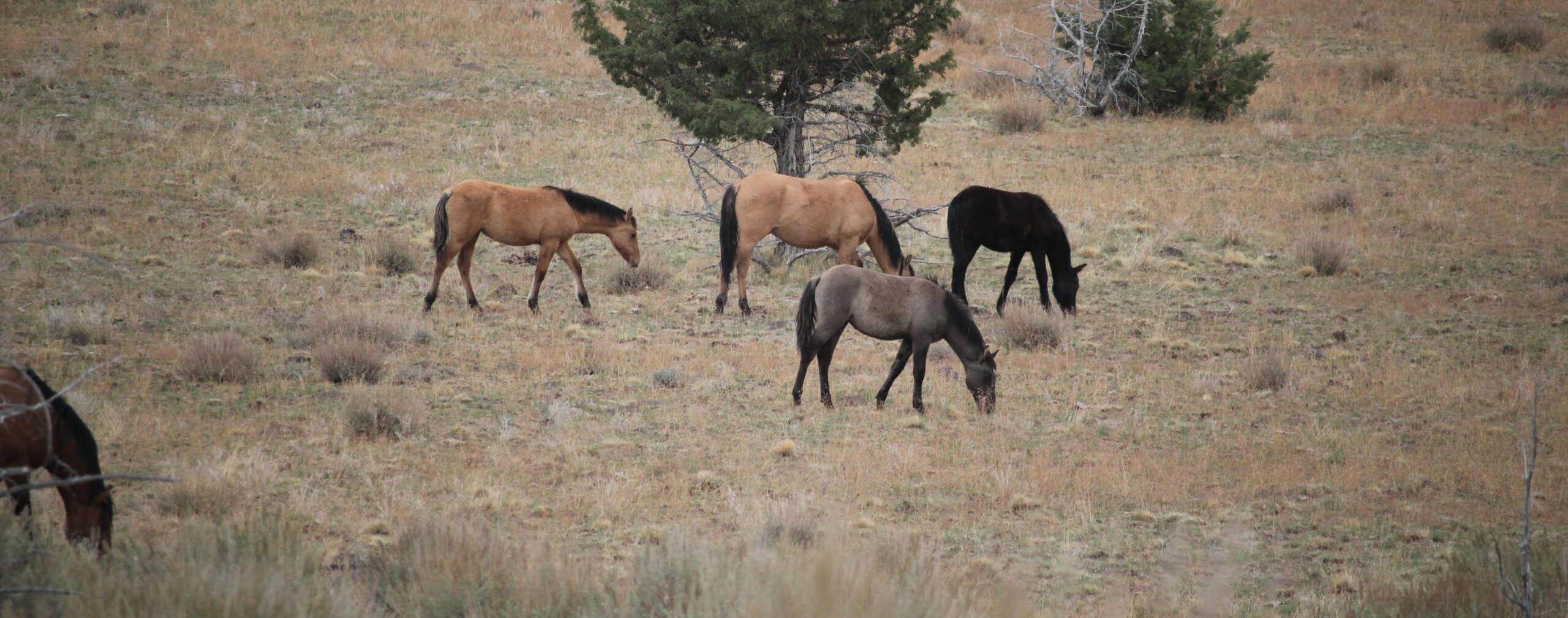
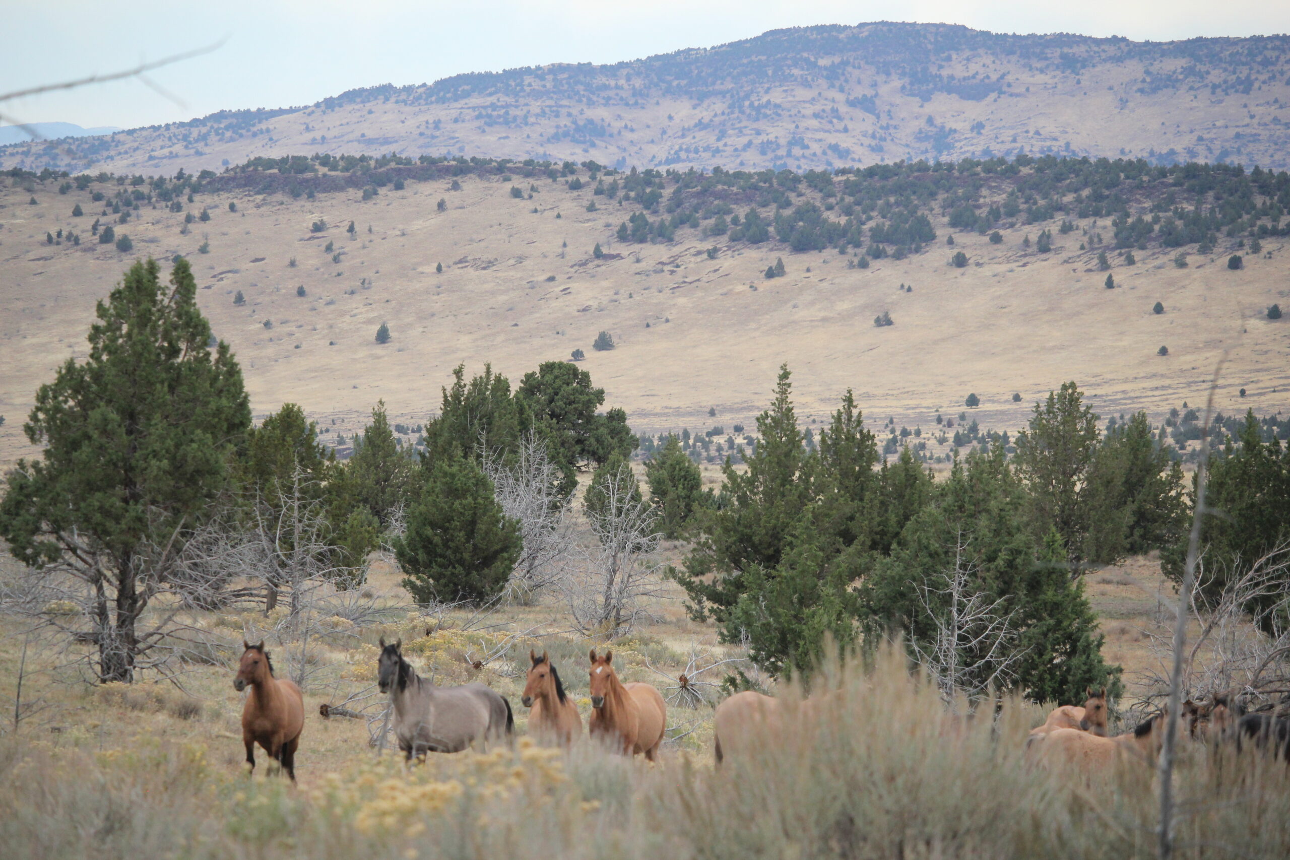
 A herd of bison was just ahead. It was easy to see their dark forms against the dry and brown landscape of late autumn. The bison allowed us to slowly drive past. They did not appear to mind us and continued with their business. If they wanted to the bison could cause us some harm as these are great creatures measuring 5-6 feet at the shoulders and 7-10 feet in length. Plus bison can weight up to 2,000 pounds or more! Some of the individuals peered at us through thick, wooly looking coats that would soon protect them from the coming winter cold. We watched them for some time.
 We passed another two groups of bison close to the road. The ‘Bison Loop’ road offered additional miles of great sightseeing.
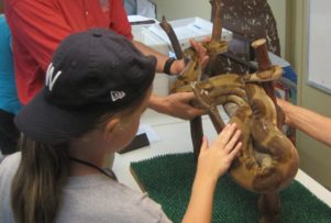
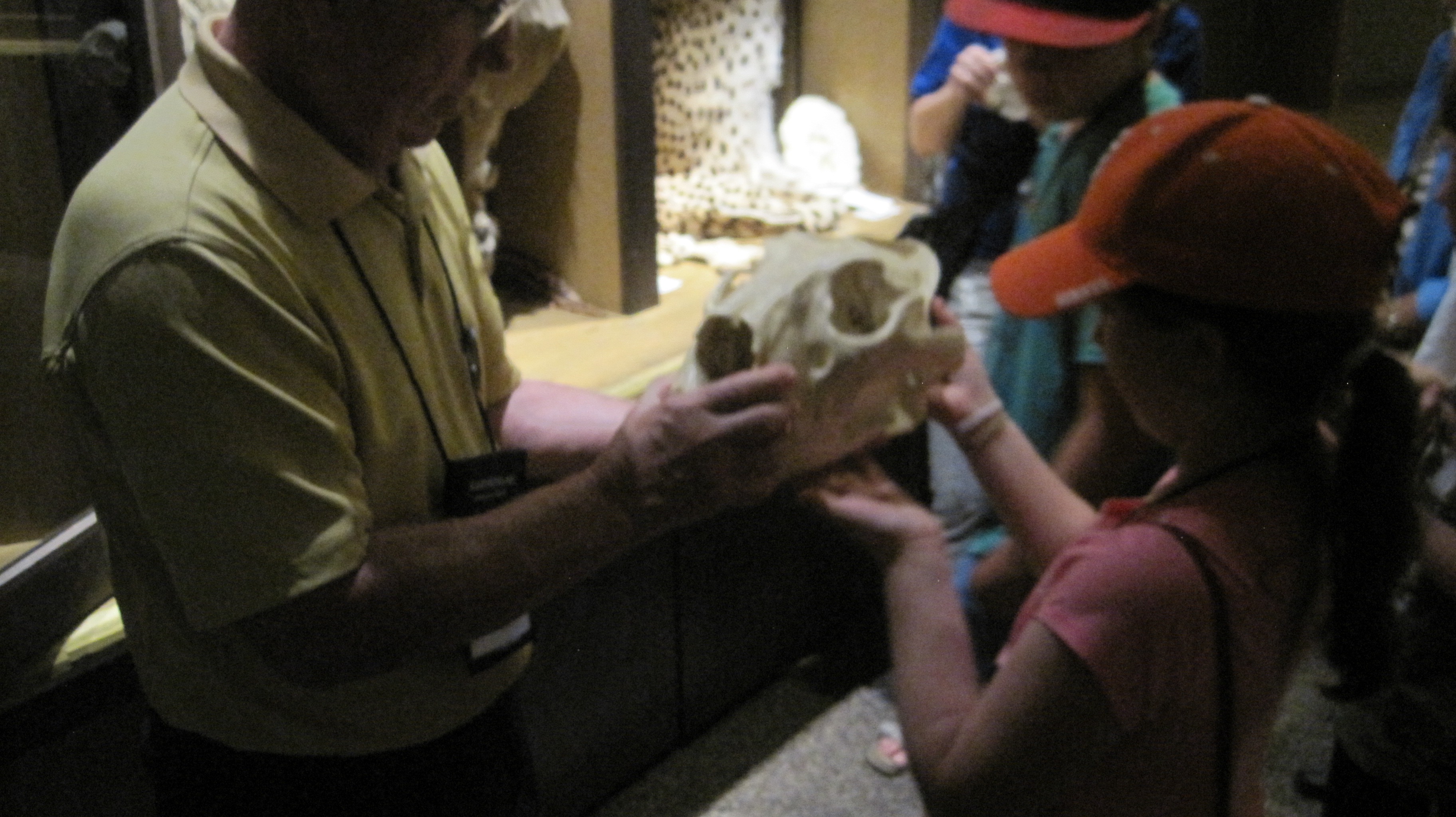
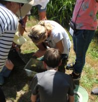
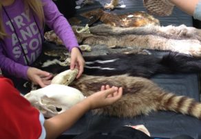
 The Preserve Headquarters offers a great visitors center. One memorable exhibit showed just how tall the grasses at the tallgrass prairie can grow – as tall as a grown man. The grasses on the tallgrass are very nutritious and part of an amazingly fertile ecosystem. Another item was a table filled with bison bones and fur. I had expected the fur to be harsh feeling but, it was surprisingly soft and extremely warm. A scapula (shoulder blade) was at least 21 inches in length and 14 inches wide – a big bone for a large animal.
 headquarters. I was informed by a docent who has been at the preserve for years the best time to visit is in the spring (May) when the wildflowers carpet the landscape and the colors are superb. I plan to return at that time.
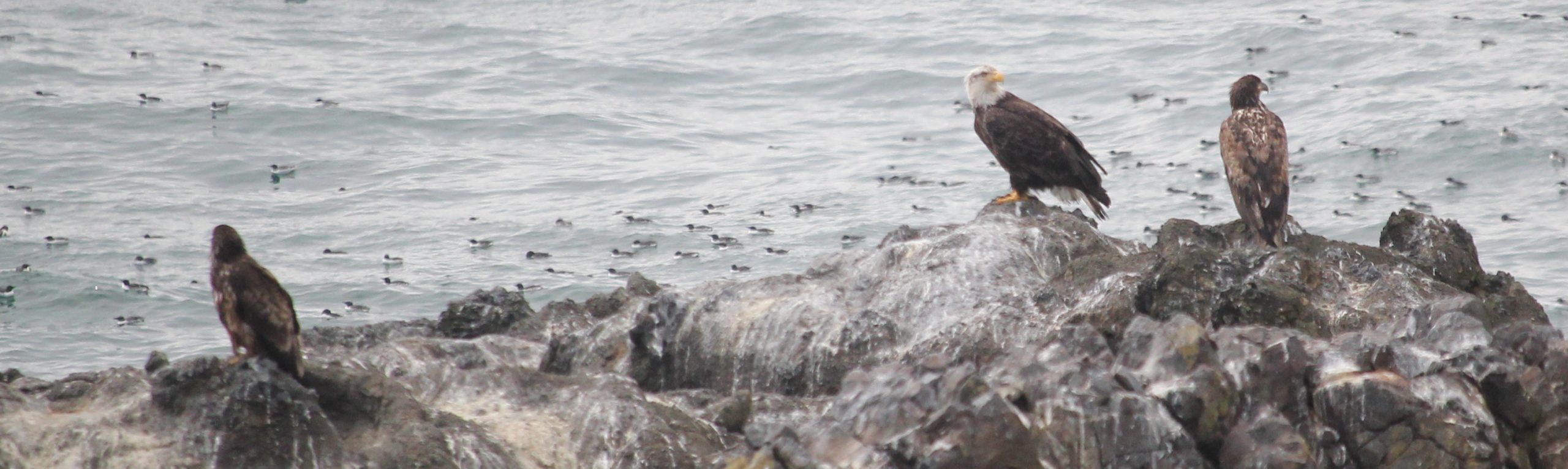
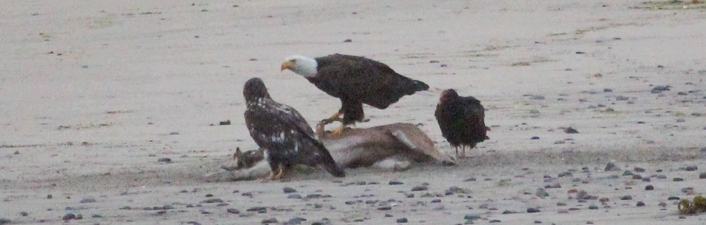
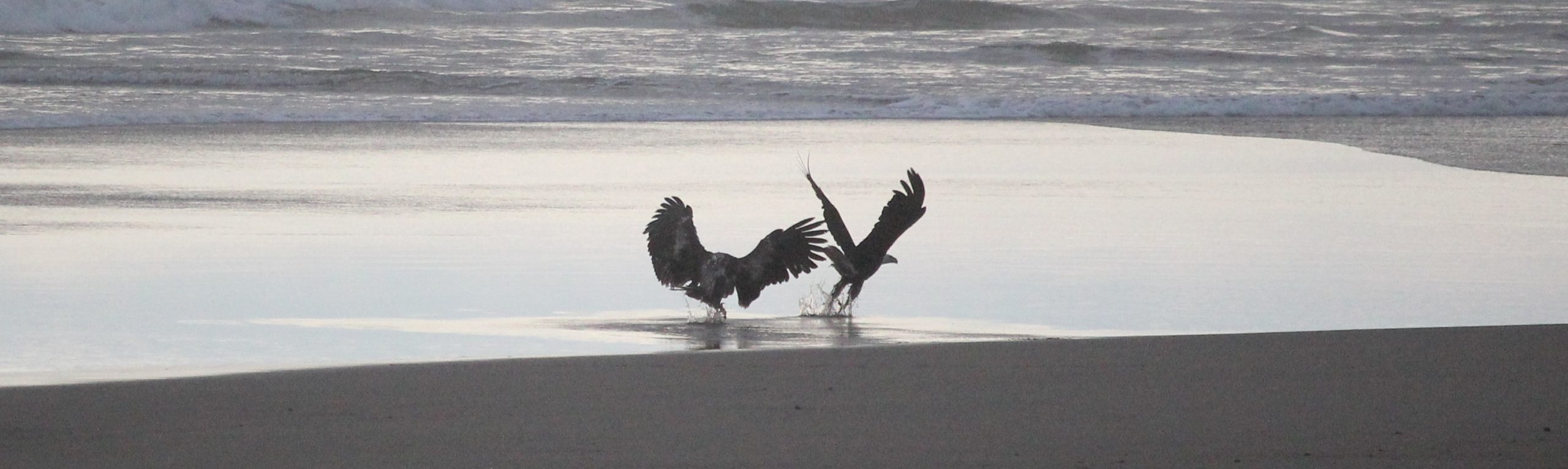
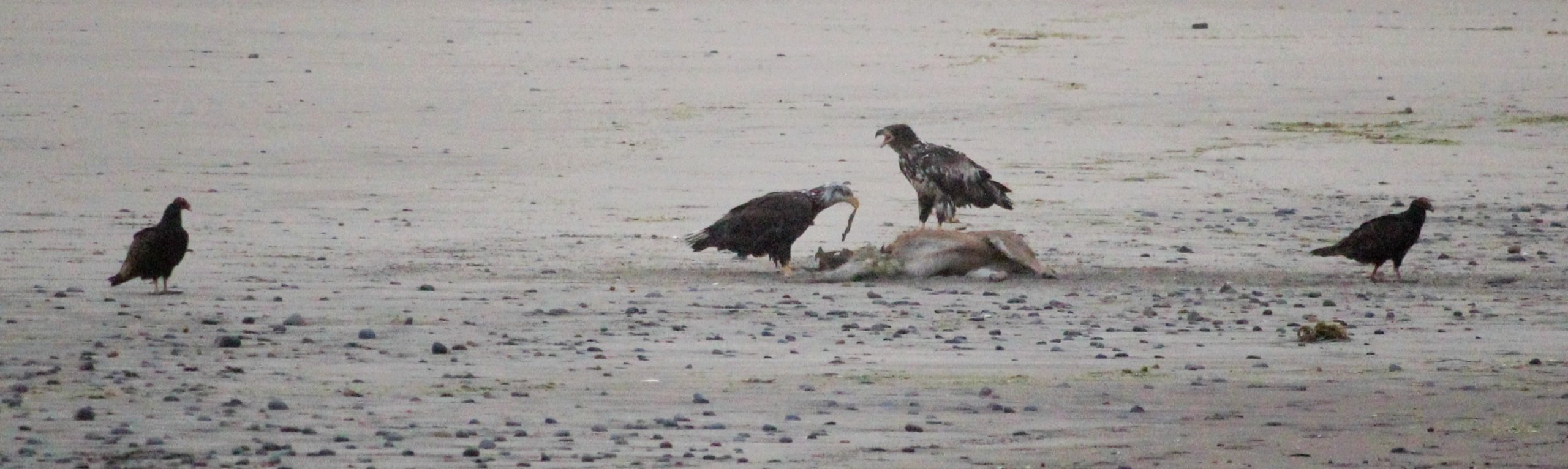
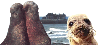 In the mid-1800s Elephant Seals were hunted for their oily blubber to light the lamps of San Francisco. But, within a few short decades, they were gone and thought to be extinct. Thanks to modern protections a small population has returned from the edge of extinction to reclaim their former territory on the California coast. In the wintertime at Año Nuevo hundreds of seals, from newborns, pregnant females and gigantic males congregate and we get to see them up close.