Exploring Ape Cave & Lava Canyon – Mount St. Helens National Monument

Trip Report:
Group Leader: Mark Hougardy | Organization: Eugene-based hiking group | Date: late-June 2022 | Duration: 3 days | Hiking Distance: 9 miles | Participants: 5 | Type: Hiking & Tent Camping

This trip was to visit the southeast side of Mount St. Helens, in Washington State.

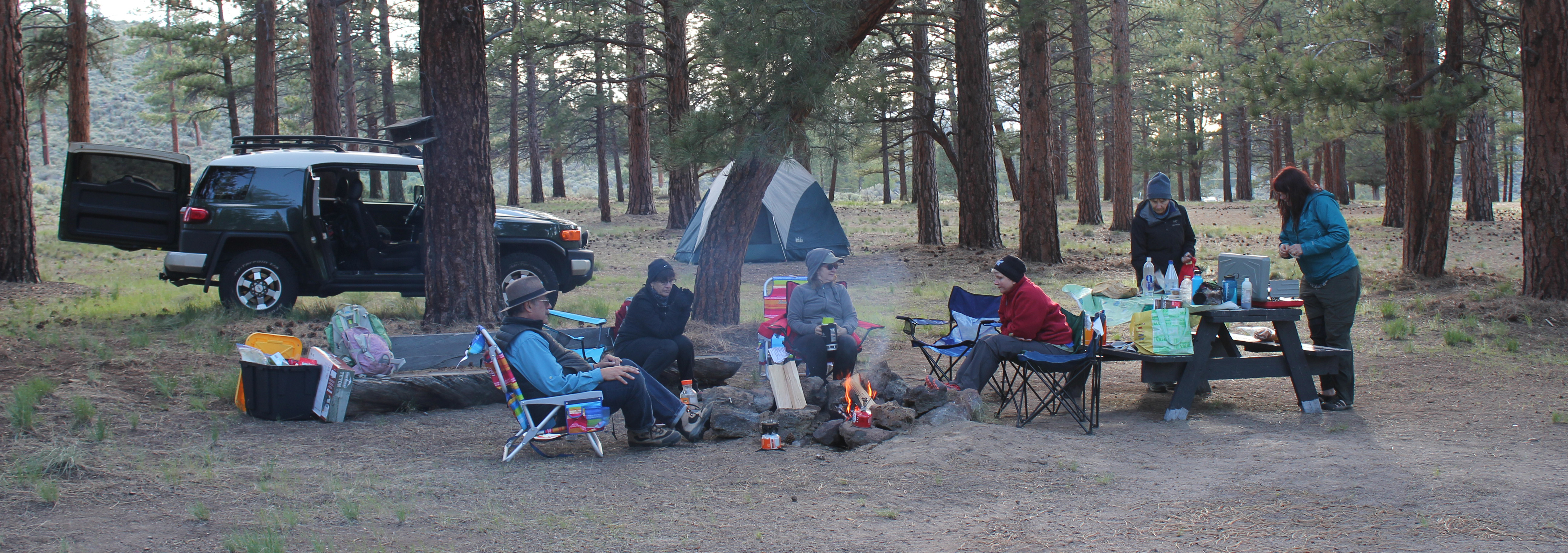
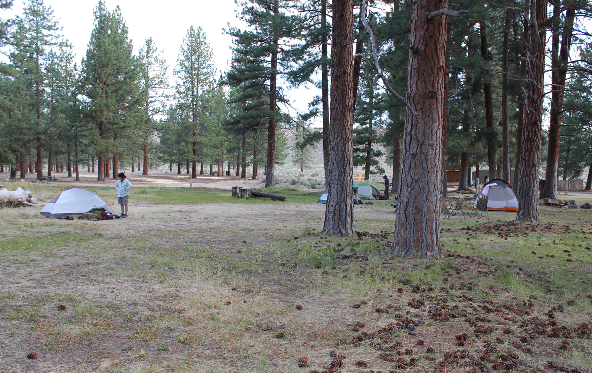
Day 1: The group arrived and we had time to explore the quiet tent-only campground and some local trails near Cougar, Washington. We had dinner, talked around the campfire, and some stayed out close to 10 pm as the mid-summer sun stayed long into the evening sky.

Having lunch at Lava Canyon.

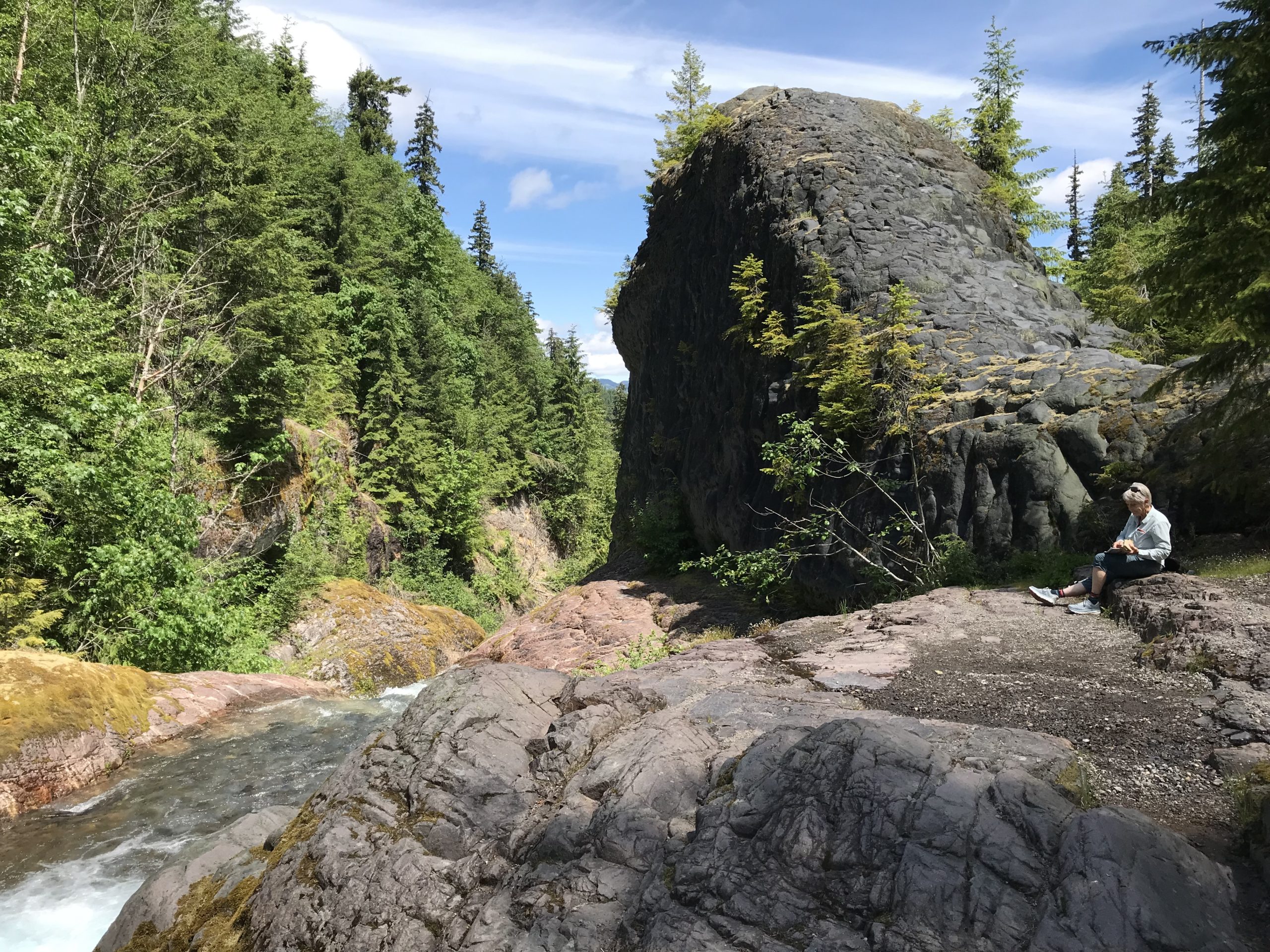
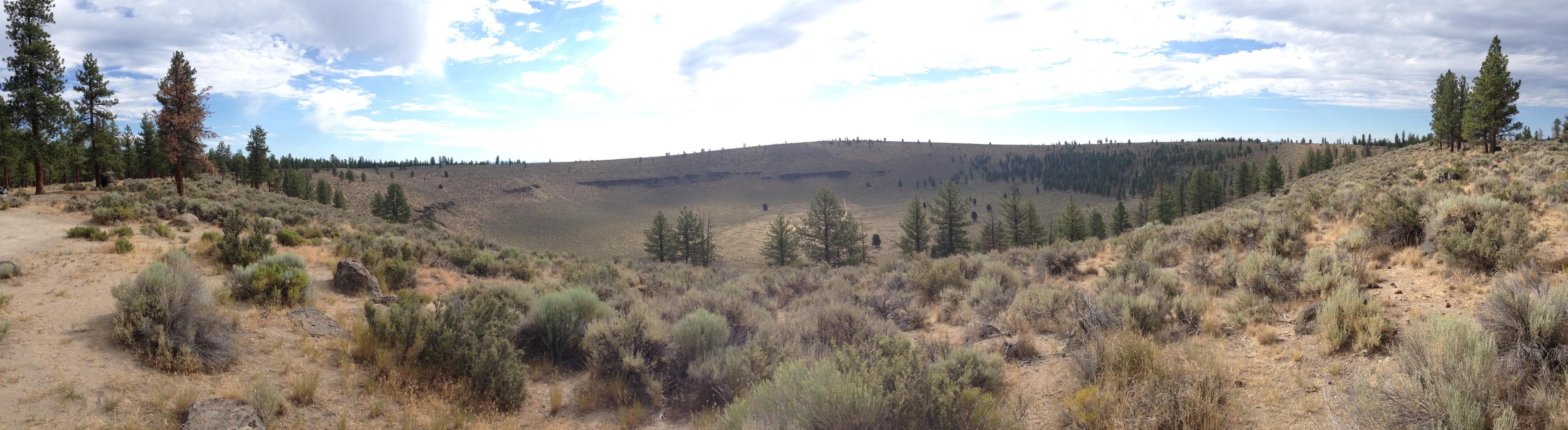
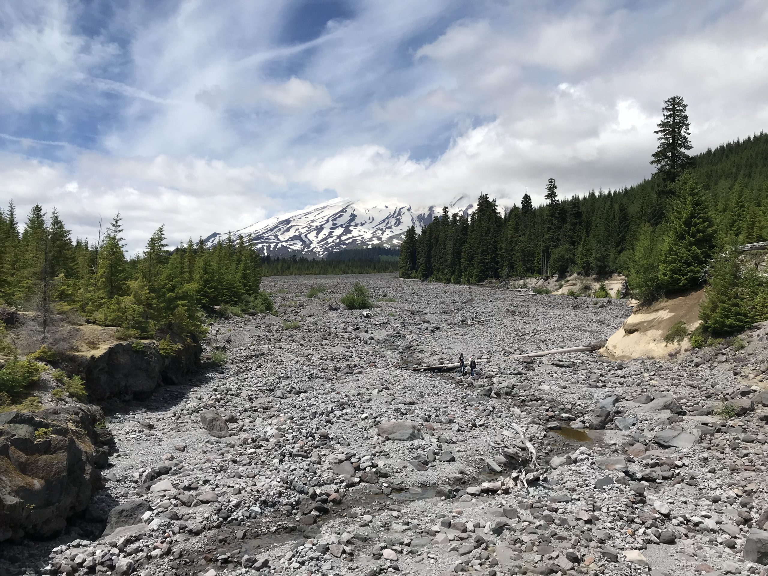
The morning of Day 2 began with birds blasting the campground with calls at about 4:30 am! The group had a relaxed morning, though several commented they had not slept well that night. Possibly this was related to being tired, or we were talking, but while driving to the hiking area we missed a turn-off and went the expected distance down a road to realize we needed to backtrack. This delay caused us to start about an hour and a half late. Driving back, we learned there was a significant absence of Forest Service signage in the area related to general features like river crossings, sights, overlooks, etc. We finally made our destination of Lava Canyon and hiked around the upper trail area. Prior to the trip, we knew the suspension bridge was out of commission, though we had hoped to hike downstream to the Ship Rock area, sadly this trail was also closed. Hiking back, we crossed over the main footbridge and ate lunch overlooking the beautiful glacial-blue Muddy River. Leaving, we made a stop at the bridge overlooking the 1980 lahar flow with Mount St. Helens looming in the background.

Viewing the waterfall at June Lake.

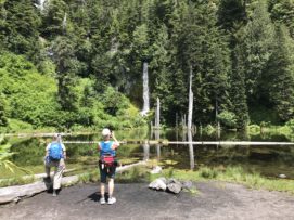
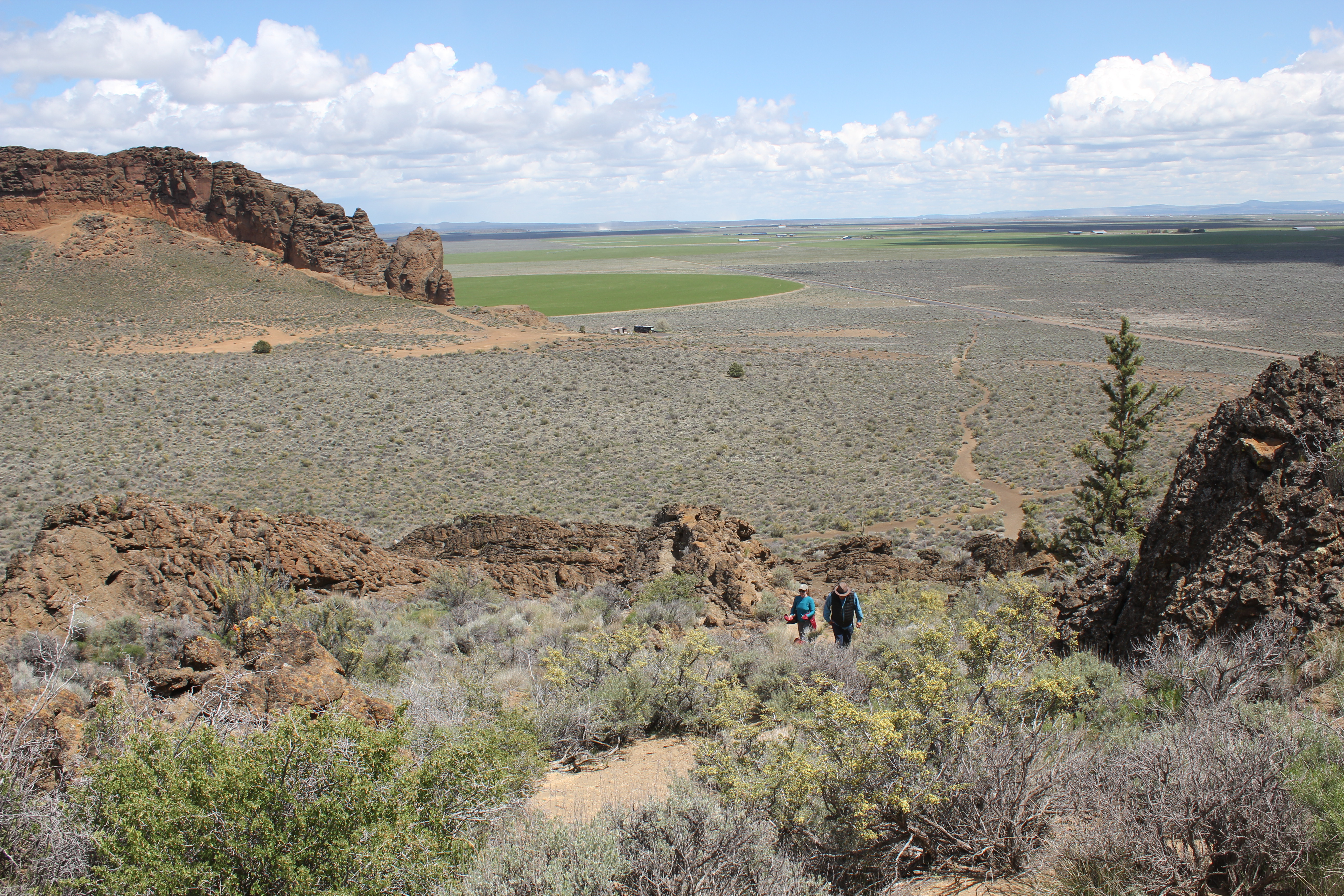
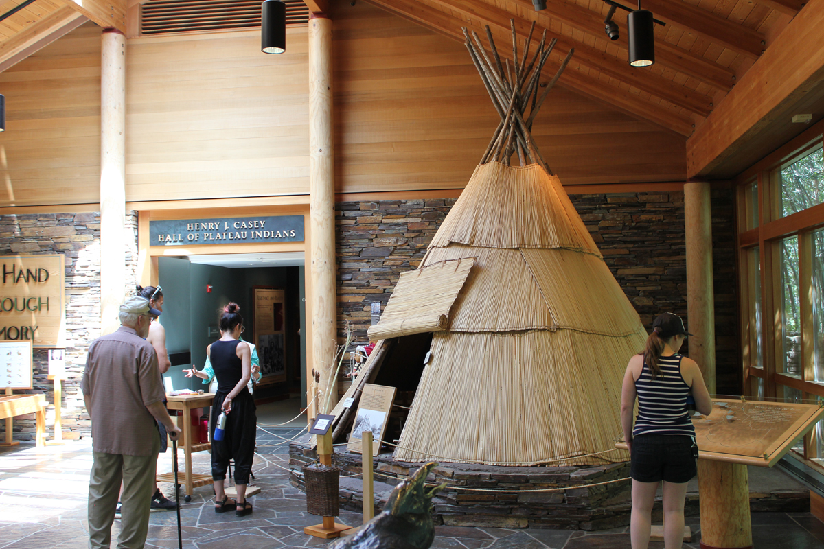
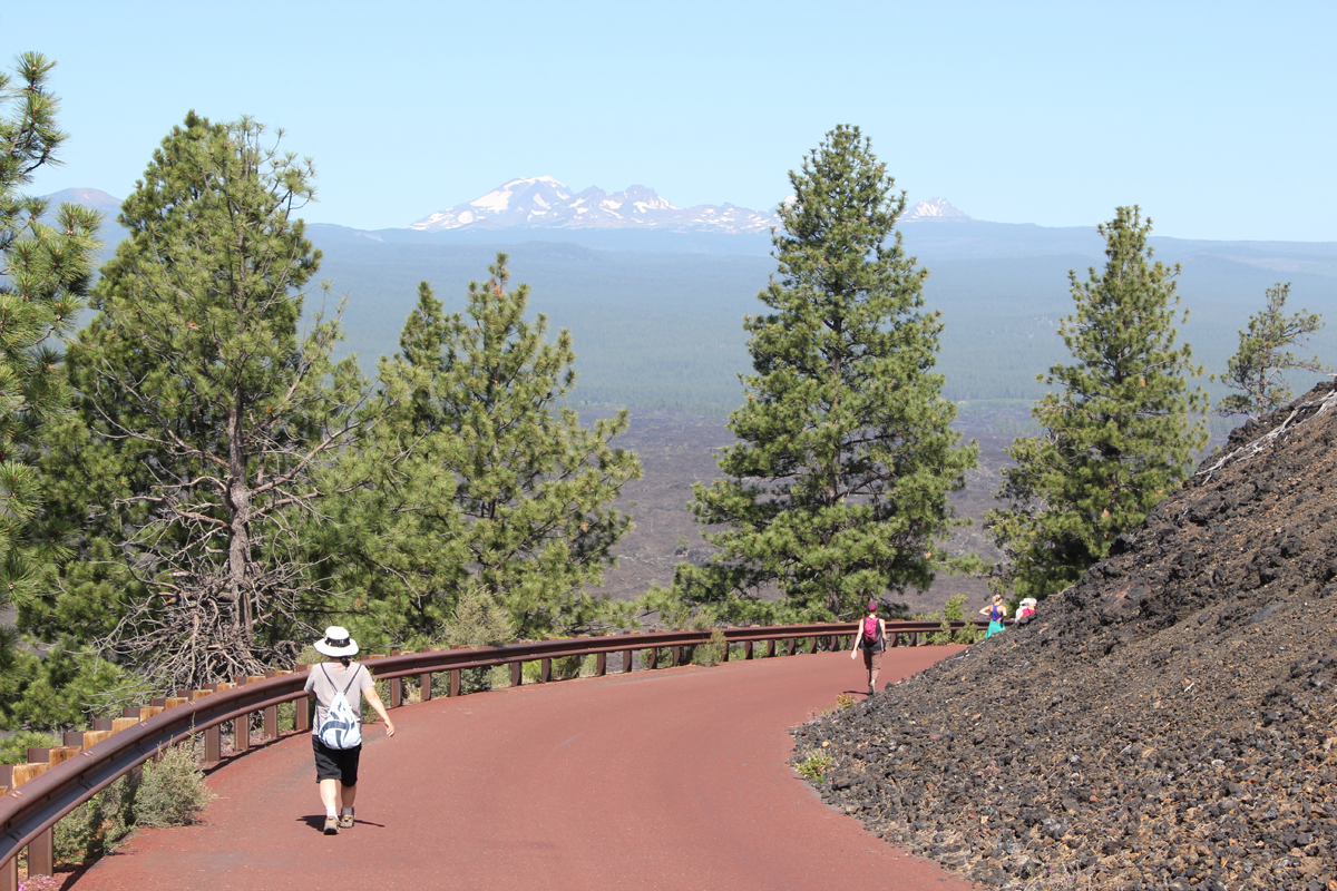
We drove to the June Lake parking area and began our hike to June Lake. The plan had been to continue to Chocolate Falls for a 5-mile loop, but about 2 miles into the trip the leader made the call to stop the hike soon after June Lake. This was an unhappy call to make but hopefully avoided an injury. Driving back to camp, we located where the earlier signage mistake had been made – a sign had been misinterpreted. We also visited the Ape Cave turnoff to better know where to go the following morning and we discovered the sign along the road identifying the turn for Ape Cave was completely missing! Finding the turn, we stopped for 20 minutes at the Trail of Two Forests Interpretive Site where a 2,000-year-old lava flow from Mount St. Helens ran through the forest, around trees, solidifying around the trunks and leaving tree wells. The group ended our day back at the campground and had an early evening.

Looking up the lahar, Mount St. Helens is in distance. For scale, note the people walking in the lahar.

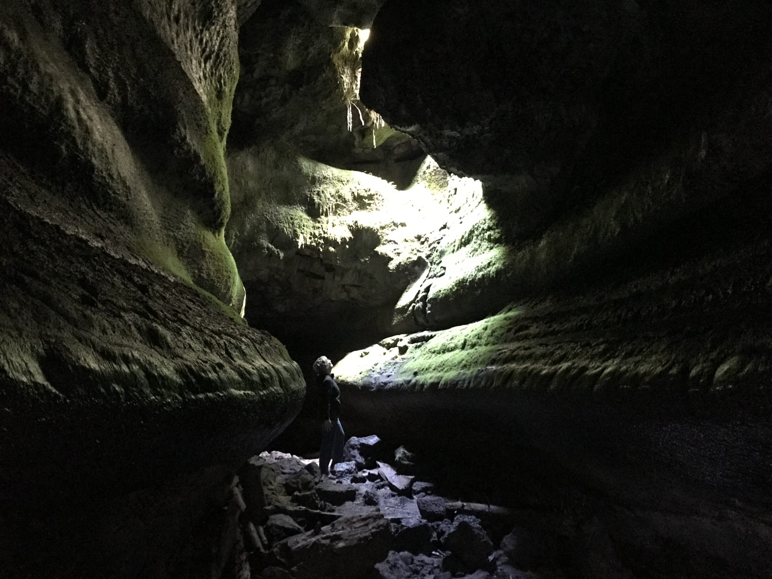
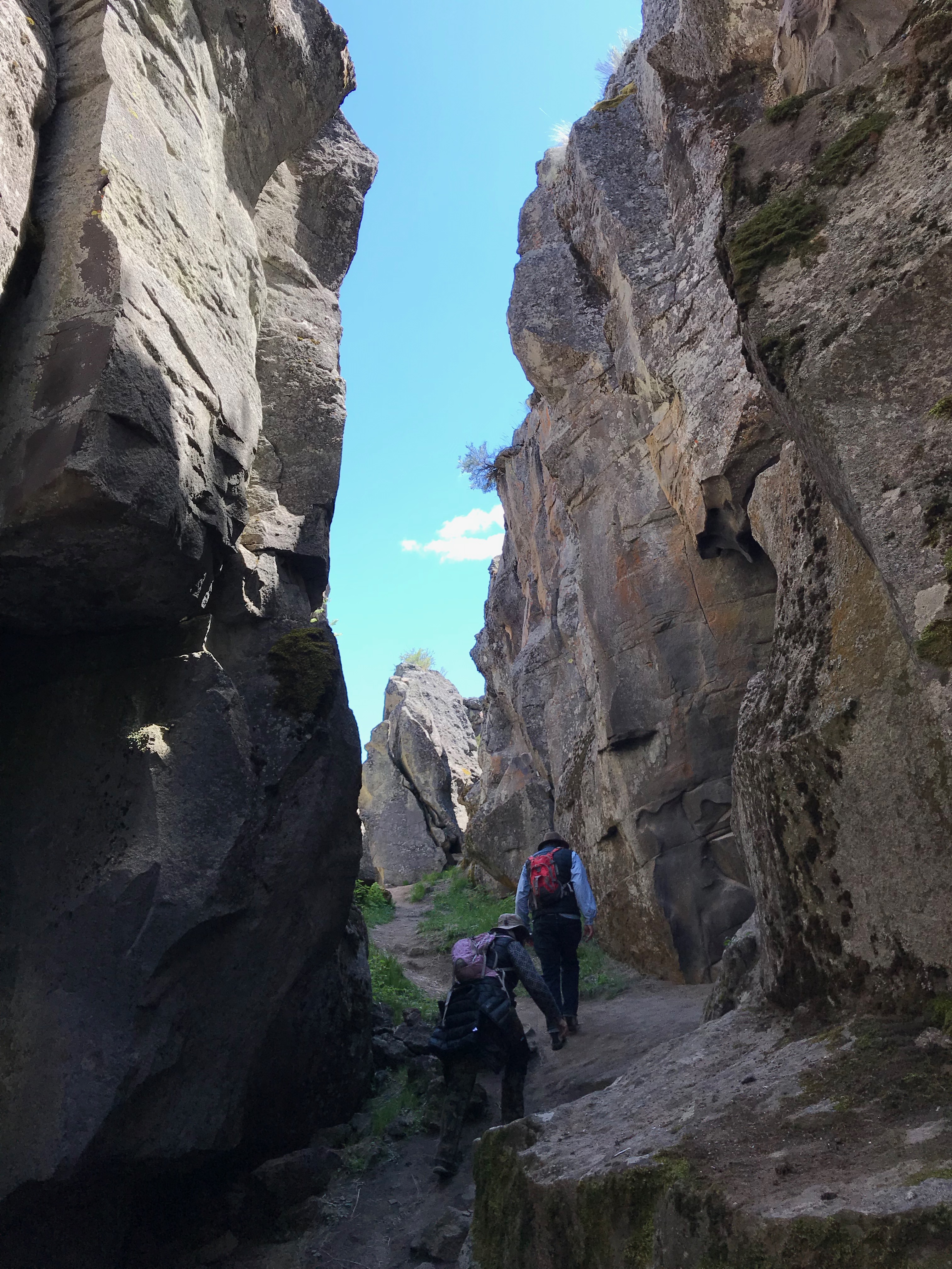
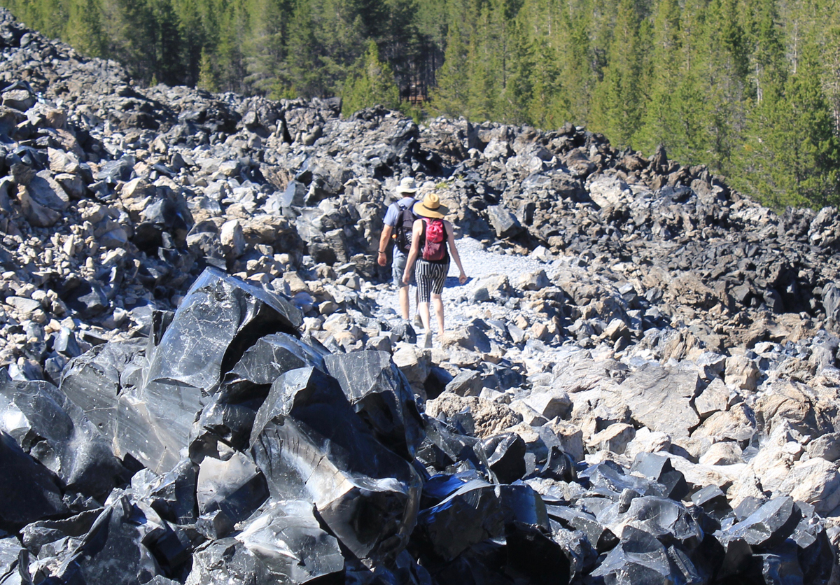
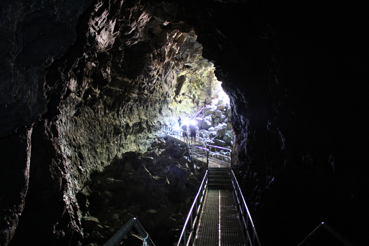
On the final day, we departed camp at 8:45 am and visited Ape Cave for our 9-9:30 am time slot to arrive. We parked in a lower lot as the official signage in the area was poor and did not direct us to the upper lot. Finally, we began our adventure up the difficult 1.5-mile upper cave route. Progress was slow as there was a significant amount of bouldering across rock falls, several tight places, and a harder-than-it-sounds narrow 8-foot wall that had to be scaled. There were a few scraped knees, but the group arrived at the end of the lava tube; our completion time was 2 hours and 15 minutes. We walked 1.5 miles back to the visitor center through the forest for farewells and then drove back to Eugene. We had hoped to get ahead of any surge related to the Fourth of July weekend holiday traffic but still managed to hit bumper-to-bumper traffic through Portland, making drive time from Ape Cave to Eugene 4 hours.

Looking up at the skylight – Ape Cave

Traversing to Fort Rock Cave the Home of Oregon’s 10,000 Year-Old Shoes

This was a 3-day experience into Central Oregon’s Outback to learn more about early human habitation and the area’s geology. Our route included the archaeological site of Fort Rock Cave, the 2-mile long volcanic fissure known as Crack in the Ground, and plans to visit the Fossil Lake area.

Trip Report:
Volunteer Leader: Mark Hougardy | Organization: Eugene-based Hiking Club | Date: May 2019 | Duration: 3 days | Participants: 8 | Type: hiking & camping

On our first day, one member discovered she didn’t have the right key to the car carrier which held her sleeping bag. Our caravan stopped at a hardware store in Oakridge where the employee emerged with the largest pair of bolt cutters ever seen. He quickly removed the troublesome lock. For lunch, we stopped at Salt Creek Fall for a break and later at an info kiosk on Hwy 31 before continuing to Fort Rock. At Fort Rock, we hiked to “the notch” along the western tuff ring where the wind was really strong. We made our own trail back down the rough side to more level ground. Afterward, we visited the Homestead Museum to learn more about homesteading was like in earlier years. At a nearby private campground, we set up our tents and enjoyed a fire for an hour or so when we noticed a mist in the distance. Within a minute or two it started to rain. We called it an early evening.

On the second day, in the early morning, the sunrise was beautiful and a coyote was heard yelping in the distance. One participant had green shower shoes and after a miscommunication about where they were to be delivered, gave everyone a good laugh. At 9 am we drove to Fort Rock for our interpretive tour of the Fork Rock Cave where 10,000-year-old shoes had previously been found. The Oregon State Park Ranger had driven from La Pine and was delayed a few minutes because of traffic. Our group and two others joined him in a state park van and we drove ten minutes close to the site. Then we walked about half a mile to the cave. He shared 3 prevailing theories about how humans arrived in the Americas and included a traditional story about how Fort Rock had been formed. We were asked that the story remains in the cave. As we walked back to the van one participant was keenly interested in the bleached bones of a dead cow. Back at Fort Rock we ate lunch and watch some of the birds on the cliff face.

A reproduction of a 10,000 year-old sagebrush sandal

We then drove half an hour to Christmas Valley then to Crack in the Ground. We hiked several sections that we could scamper through and also hiked along the top of the fissure. Several participants disturbed a prairie falcon who was not happy to see them. The falcon made a lot of noise, and as they moved away it acted as though it wanted to nose dive them. Storm clouds were approaching; we left about 3 pm and drove to an isolated ranch. The directions were a bit off and we took several wrong turns before arriving. We were greeted by two rambunctious dogs, a golden colored and bear-sized dog and a smaller ten-month-old border collie. As we were unloading our cars the collie jumped in the back of the trip leader’s car when a door was open and pee’d on the back seat. Just as we completed setting up our tents a 20-30 mile-an-hour wind blew past and dark clouds rolled in. The rain started at about 6:30 pm and everyone quickly disappeared into their tents to eat. We didn’t see anyone again until the next morning. The rain poured throughout the night.

The morning of the last day we were happy to hear that everyone pretty much stayed dry during the rain. We decided that traveling on muddy back roads might be problematic so we canceled the last portion of our trip to Fossil Lake. Just as we packed the last of our gear the two dogs reappeared but now they covered in mud – quickly we departed. We stopped in Fort Rock at a convenience store for gasoline and a break, then another break at Fort Rock, then again Salt Creek Falls before returning home.

Exploring Central Oregon’s Rich Cultural Heritage, Dynamic Geology, and Majestic Night Sky

Our 4-day trip to learn more about central Oregon’s historic past started with a call from the interpretive ranger at Fort Rock. The 100-degree heatwave hitting the region was the cause for canceling our visit to the Fort Rock Cave for safety concerns and the threat of extreme fire danger. The cave is a significant archaeological site where shoes dating back 10,000 years were discovered and public entry is limited to just a handful of people each year. Sadly, but understandably, we were not able to visit the cave and I had to amend our trip to Oregon’s high desert on the fly. Fortunately, everything worked out. [Here is a link to a later visit to Fort Rock Cave.]

Trip Report:
Volunteer Leader: Mark Hougardy | Organization: Eugene-based Hiking Club | Date: July 2018 | Duration: 4 days | Participants: 7 | Type: A 4-day exploration of central Oregon’s rich cultural heritage, dynamic geology, and the majestic night sky. Car camping, hiking, and lots of open space.

Group photo at the Pine Mountain Observatory. The red lights are easier on the eyes when working around astronomical equipment.

On our first day, we arrived at the massive caldera located in the heart of the Newberry National Volcanic Monument. We visited the double 80-foot Paulina Falls and ate lunch overlooking the stream. We located two adjoining campsites on the picturesque East Lake, and just in time as the park was busy. In the afternoon we hiked the impressive Obsidian Flow trail, a massive flow of volcanic glass and pumice 17 stories tall. Returning to camp we enjoyed a swim in the cool and clear waters of East Lake. Afterward, we hiked on the beach to the local resort and were reminded of the subtle, yet abrasive qualities of volcanic glass on the feet. At the lodge, we enjoyed a delicious meal and had some good laughs with the staff. The radio in the background was playing a tribute to Tom Petty. We walked about a mile back to camp. That night we listened to acapella hymnals from a Mennonite group camping nearby.


On day two we drove to the top of Paulina Peak. The peak is 7,984 feet and sits in the middle of Oregon. The views are impressive; to the north, we could see the massive stratovolcano, Mount Hood, then down the spine of the Cascades to the steep-sided Mount McLoughlin close to the California border – a distance of about 300 miles! To our south was our next stop, the iconic shaped Fort Rock, a volcanic landmark named for the tall fort-like walls. We left Paulina Peak and drove for about an hour. Our first stop was the Fort Rock Homestead Museum, an open-air collection of historic structures. This is where I learned about a shortcut of a backroad to Derrick Cave, a remote lava tube that we had hoped to visit. Apparently, the private landowner had closed the shortcut because visitors were not closing a gate and his cows were escaping. The alternate route would have involved about a 50-mile detour on forest and back roads. This was tabled until another visit. Our next stop was the massive Fort Rock a horseshoe-shaped tuff ring that rises 300 feet over the surrounding flat landscape. We hiked for about an hour in the heat then drove to the town of Christmas Valley for ice. We continue on a short distance to Crack in the Ground, a 2-mile-long tension fracture where we could hike and scramble over boulders about 30 feet underground. The temperature at the surface was 95 degrees, in the fissure it was a comfortable 70 degrees with some pockets of air in the lowest sections that were very chilling. Late that afternoon we stayed at the Rockhorse Ranch where we pitched our tents and gleefully enjoyed their shower! A celebrity at the ranch’s store was a black cat named, “Scratchy.”

On day three we drove a short distance to Hole in the Ground, a crater that is a mile wide and 500 feet deep. Once thought to be a meteor impact the formation was actually caused by magma contacting groundwater. The resulting flash (there were many over the millennia) formed the massive hole we see today. The steep hike down the side was dusty and the walk up the forest service road was blazing hot. Near the end of our hike, three cars zipped up the road in a cloud of thick dust. The vehicles looked as though they were from the set of a Mad Max movie. The last car to pass was missing the driver-side door; the driver was wearing thick goggles. The rag-tag group waved as they passed. These were participants in the Gambler 500, a navigational adventure for cars whose value is no more than $500. Later that day we visited the High Desert Museum for a closer look at the cultural and natural history of the region, and we explored by flashlight the 1-mile-long Lava River Cave, the longest continuous lava tube in Oregon. The cave was a welcome 42 degrees! As the sun lowered in the sky we made our way about 30 miles east of Bend to the Pine Mountain Observatory, an astronomical observatory operated by the University of Oregon. The center sits near the top of Pine Mountain at an elevation of 6,509 feet. We made camp, ate dinner, watched the sunset, and enjoyed the various telescopes of the facility. There were close-up views of Jupiter, Saturn, Venus, Mars, nebulae, globular clusters, and various astronomy talks from UO instructors. Most impressive was a view of Jupiter and several moons through the 24-inch scope.

The final morning we woke up hearing a chorus of cows in the distance. We made our way off the mountain appreciating the drastic change in terrain from pines to the open high desert. We took a shortcut around Bend and stopped at the Lava Lands Visitor Center where we explored the 500-foot tall Lava Butte that has commanding views of central Oregon’s volcanic story before returning home.