Hiking & Rafting in Central Oregon – An Active Educational Travel Program 2019

Helping people experience and learn about the rich natural history of central Oregon is always a treat. My energetic group of 14 adults hiked, rafted, and explored the amazing volcanic landscape.

Trip Report:
Group Leader: Mark Hougardy | Organization: Road Scholar | Date: August 2019 | Duration: 8 days | Participants: 14 | Type: hiking, rafting, tour

A Double Rainbow Over Crater Lake!
Rafting on the Deschutes River
A Day Hike in Smith Rock State Park, Oregon
A day hike across a magnificent lava field.
Entering the Massive Lava Tube Cave
Crater Lake National Park – The Watchman – Overlooking Wizard Island
Hiking in the lush Cascades
Enjoying the 100-feet cascade of Diamond Creek Falls, Willamette Pass, Oregon.
We just finished up a rafting trip on the Santiam River.
Enjoying an evening walk to explore Eugene’s colorful murals and micro-art.

Crater Lake & Bend: An Intergenerational Outdoor Education Trip – 2018

I enjoyed leading an 8-day outdoor spirited program in central Oregon for a group of 16. This was an inter-generational trip for grandparents and grandchildren. The tour was an exciting exploration of the natural and cultural history of the area. I’m so happy to have helped develop this interpretive program and I loved introducing others to this amazing landscape.

Trip Report:
Group Leader: Mark Hougardy | Organization: Road Scholar | Date: July 2019 | Duration: 8 days | Participants: 16 | Type: hiking, rafting, tour

Rescuing a Banana Slug off the trail. The visit was also an introduction to the dynamic and rich Cascade Forest ecology.
Walking through a bountiful Pacific Northwest forest.
Timberline Lodge, Mount Hood. Also enjoyed a stellar lunch at the Lodge.
Hiking in Smith Rock State Park and learning more about its geology.
An eagle catches lunch from the river!
A group photo at a beautiful bridge in Bend, Oregon. The bridge was used in the movie, “Homeward Bound.”
A first view of Crater Lake.
Some of the younger members of the group found a cool-looking bug on the trail during a night hike.
A real treat! Because of an interpretive talk I gave the younger members of our group knew about the Old Man of the Lake and were able to point it out to the captain.
Hiking at Crater Lake
Rafting the Big Eddy Rapids on the Deschutes River. I’m on the other side of the raft taking the full river experience in the face.
A grandparent and grandchild enjoying walking across the lava at Lava Lands.
Overlooking the Big Obsidian Flow – one square mile of black Obsidian!
Entering the Lava River Cave (lava tube)
Walking with the group at Lava River Cave
Playing on the lower Deschutes River – one of the trip participants is about to get really wet.

Kayaking While Surrounded by an Ocean of Sand

Trip Report:
Volunteer Leader: Mark Hougardy | Organization: Eugene-based Hiking Club | Date: May 2019 | Duration: 1 day | Participants: 7 | Type: kayaking

Kayaking Oregon’s Siltcoos River during the springtime is a treat, provided you can time it right. A day earlier dark clouds, lighting, and sheets of rain pelted the area. But, today, the temperature was warm and the sky was clear, allowing us to witness the Siltcoos in all its splendor. We were fortunate and very thankful. The Siltcoos is an interesting interplay of a riparian area within the Oregon Dunes National Recreation Area. The dunes are one of the largest expanses of temperate coastal sand dunes in the world. When geologic forces created the dunes, the sand-choked off several coastal rivers and created about 30 lakes. Some of the rivers have found a way back to sea, the Siltcoos River is one of these rivers. Today, it is a slow-moving three-mile long waterway that holds the distinction of being a canoe trail. We were unable to visit the lower water dam because of a large fallen tree. A special thank you to the River House Outdoor Center of Eugene for the use of their kayaks and local guides. From the water, our group saw at least 18 animal species: bald eagle, osprey, a grey fox, swallows, killdeer, newt, bumble bee, heron, fish, stellar’s jay, crow, seals, egrets, mergansers, butterflies, dragonflies, spiders, and egrets. We also saw a dog at the bow of a kayak, and (not paying attention to posted signs) a human and dog in a protected area.

An 80-foot wall of sand along a bend in the river.
Upriver there were a number of fallen and downed trees we gave them a wide berth.
The dunes gave way to open spaces and a green marsh. Several ducks were flying overhead.
A large bird turned in our direction. As it approached we saw a white head and white tail feathers – it was a bald eagle! A magnificent sight, and seeing it was worth all the money in the world at that moment.
The river widened as we approached the mouth of the Siltcoos River.
At the mouth of the Siltcoos River. The Pacific Ocean had 4-6 foot swells that day. A bald eagle was observed looking for a mid-afternoon snack in the surf. Note the white tail feathers. The area before us (all the shoreline in the area) was closed to protect habitat for the Snowy Plover, a threatened species. Photo credit: Anna Hougardy.
A happy trip participant

Celebrating the Autumnal Equinox at Lava Beds & Crater Lake

This was an exploration of two dramatic volcanic landscapes timed with the Autumnal Equinox.

Trip Report:
Volunteer Leader: Mark Hougardy | Organization: Eugene-based Hiking Club | Date: September 2018 | Duration: 4 days | Participants: 5 | Type: car camping, hiking, and caving

Upon arriving at the forbidding Lava Lands National Monument we made camp and then explored several accessible lava tube caves around the visitor center. We also climbed the conical shaped 5,302-foot tall Schonchin Butte where we enjoyed views 100 miles east to the Warner Mountains, near Nevada, and 50 miles west to Mount Shasta. In the evening, we walked along a dusty trail into the Schonchin Wilderness Area and encountered an entrance to a lava tube that was at least 4 stories tall.

The next morning we hiked from the campground to Skull Cave where a small ice pond can be viewed year round. We also hiked to several pictograph caves and enjoyed our lunch on the trail. As the afternoon warmed we spent our time underground where we explored three caves and partially a fourth. Back at camp, we were surprised to discover that several hundred bugs had descended upon the hood of one of the cars, possibly attracted by the metallic-blue color. They had apparently been engaged in a frenzied mating and exhausting themselves to death. Bugs that fell onto the ground were snapped up by an eager lizard. As the sun set, we hiked into the nearby wilderness and enjoyed a pastel sky.

On the third day, we packed up and drove through the northern section of the monument. Our last stop was to Petroglyph Point where a monolithic wall includes petroglyphs, raptor nests, and evidence of former wave action. Tule Lake was a gigantic, yet shallow inland lake that existed for millennia. The lake was drained in the early 1900s and the exposed land turned into farmland. The existing lake is far to the west and is one-sixth its original size. Future explorations to Lava Beds will include additional sites of the Modoc War and seeing the remnants of an imprisonment camp where Americans of Japanese ancestry were forced to live during WWII. In the afternoon we drove to Crater Lake and made camp. The Mazama Campground was closing for the season and this was its last weekend. Upon our arrival, the sky darkened and it rained for several minutes. After making camp we hiked to the Great Spring and down the picturesque Annie Creek trail loop. In the late afternoon, we made good use of the camp showers then drove the rim to enjoy the views from Discovery Point. At dinnertime, we made our way to the historic Crater Lake Lodge where we raised a glass to celebrate the Autumnal Equinox then enjoyed a meal. Back at the campground, a nearly full moon encouraged multiple parties at neighboring campsites and sleeping was difficult.

On day four we woke to a frosty 28 degrees Fahrenheit. We warmed up though at the local Annie Creek Restaurant with some hot coffee and breakfast. As we drove along the east rim to the Mount Scott trailhead the sky was blue and clear. We hiked for about an hour to this highest point in the park, which stands just less than 9,000 feet. The view of the once massive volcano Mount Mazama, now known as Crater Lake, was superb! We could see about 100 miles in each direction; to the north the Three Sisters, and to the south Mount Shasta. As noon approached we hiked back down the mountain and ended our trip with a late lunch. There was a definite chill in the air, fall had arrived.

A Crater Lake Extended Weekend Group Trip

blog-2016-07-crater-lake

Trip Report:
Volunteer Leader: Mark Hougardy | Date: June 12, 2016 | Duration: 3 Days
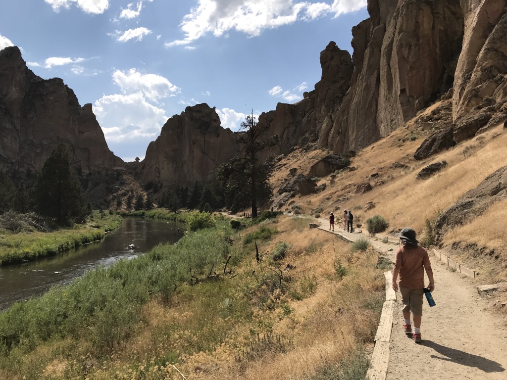
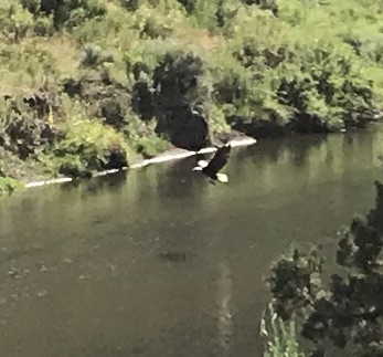
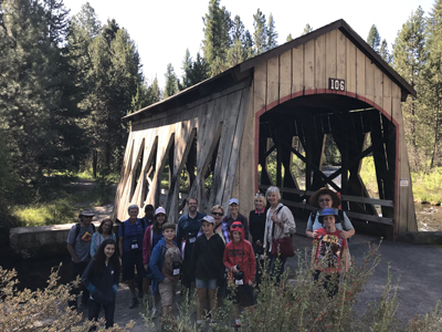
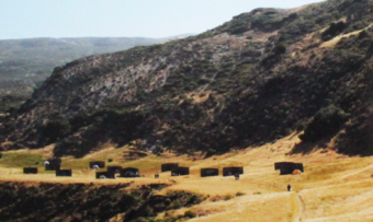
Participants: 10 | Group: Eugene-based Hiking Club | Hiking 5 miles (1,000-foot elevation loss/gain) | Type: Day Hike and Camping

On this trip, Mother Nature reminded our group of nine that she is always in control, and she reminded two members of our group to remember the tent!

Our original itinerary had to be re-worked because of a late July storm, but the unusually cold weather added an extra element of adventure and excitement.

Everyone arrived in great spirits on Saturday, though we knew that rain was on the horizon. Unfortunately, two members of the group had – in their enthusiasm – unexpectedly left their tent at home. Undeterred by the unfortunate error they purchased a tent at the campground store – for a good deal of course! The skies that afternoon were clear and we made good use of the sun by hiking to Garfield Peak.

thumb_IMG_5138_1024
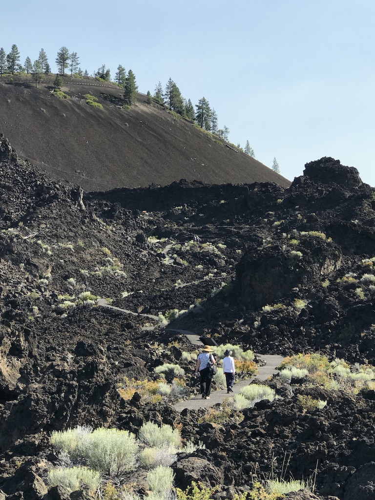
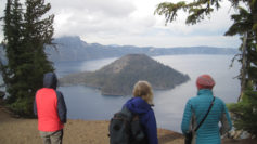
On the way, we encountered several snowfields, one of which was very steep, but the stunning views from the top were well worth the extra effort in getting there. In the distance, Mount Scott was enticingly clear of snow, though we later learned it was impossible to reach because several miles of the eastern rim highway was closed for repairs. Returning down the mountainside we visited the small loop trail of Godfrey Glen where we collected trash that uncaring visitors had left. We collected enough garbage to fill a large bag! That evening we sat around the campfire and commented on the number of stars that were visible, where was the rain? All was calm until 2 am when the rain arrived and temperatures lowered to just above freezing. Our two members in their “good deal” tent had a cold and wet night.

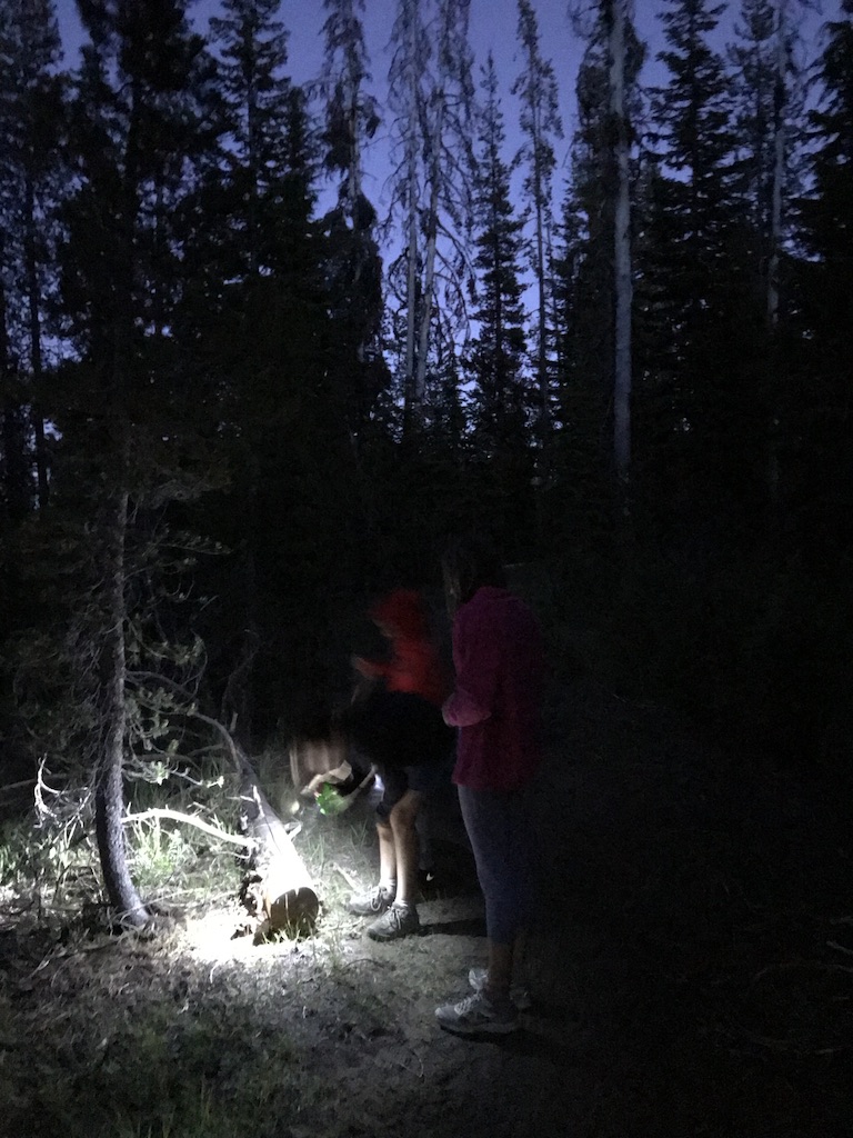
Sunday morning I looked out my tent and was excited to see full-bodied snowflakes quietly falling but they only lasted for a minute. Several early risers made a trip to the rim where 3-4 inches of snow had fallen the night before. All of us were off to a slow start that morning. The “good deal” tent had not fared well in the rain and when the drops were shaken off the outer cover a support bar snapped making the tent almost useless. For the entire day temperatures never ventured past the mid-thirties and at times the drippy rain became unrelenting torrents.

_thumb_IMG_5158_1024
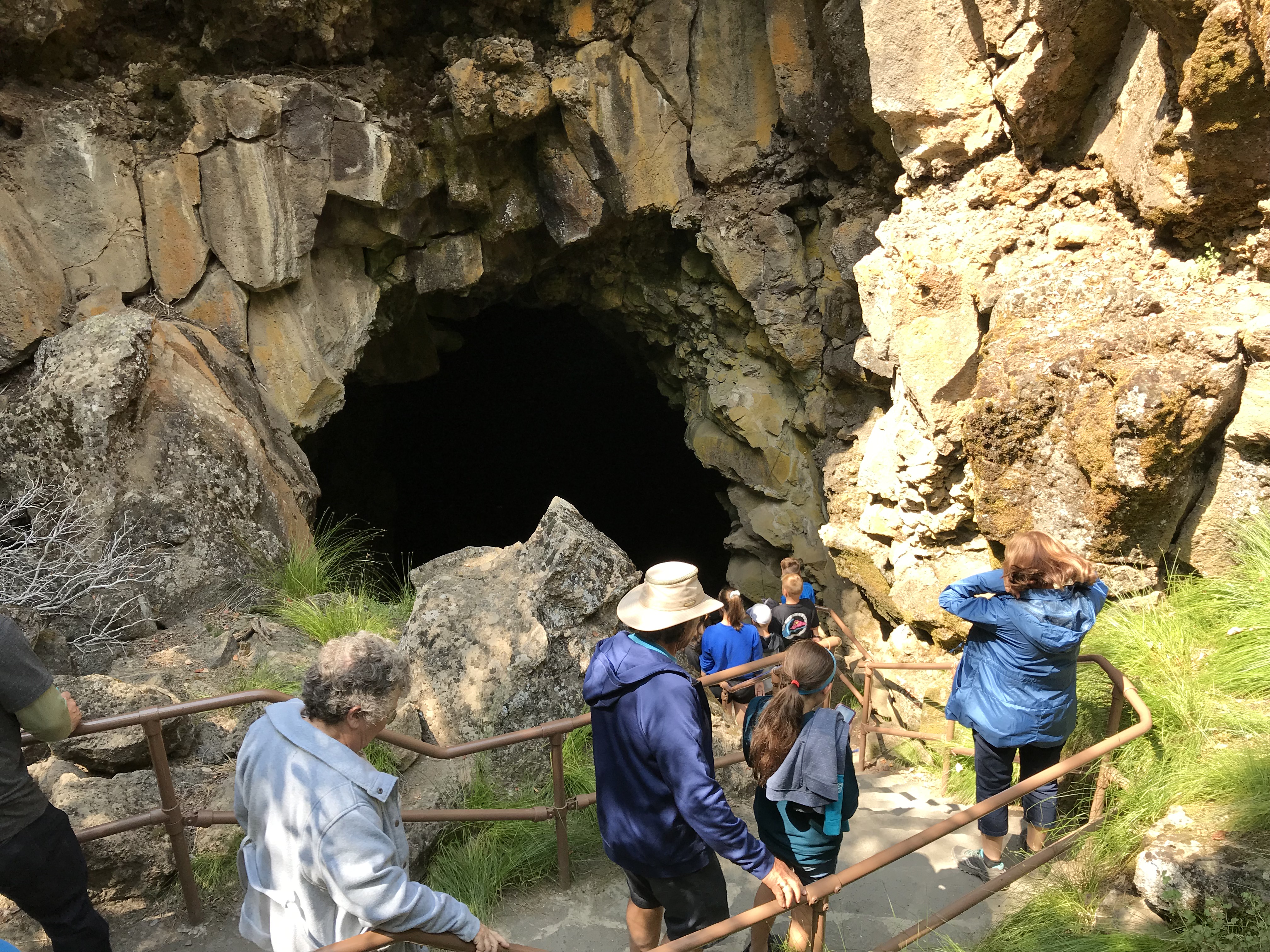
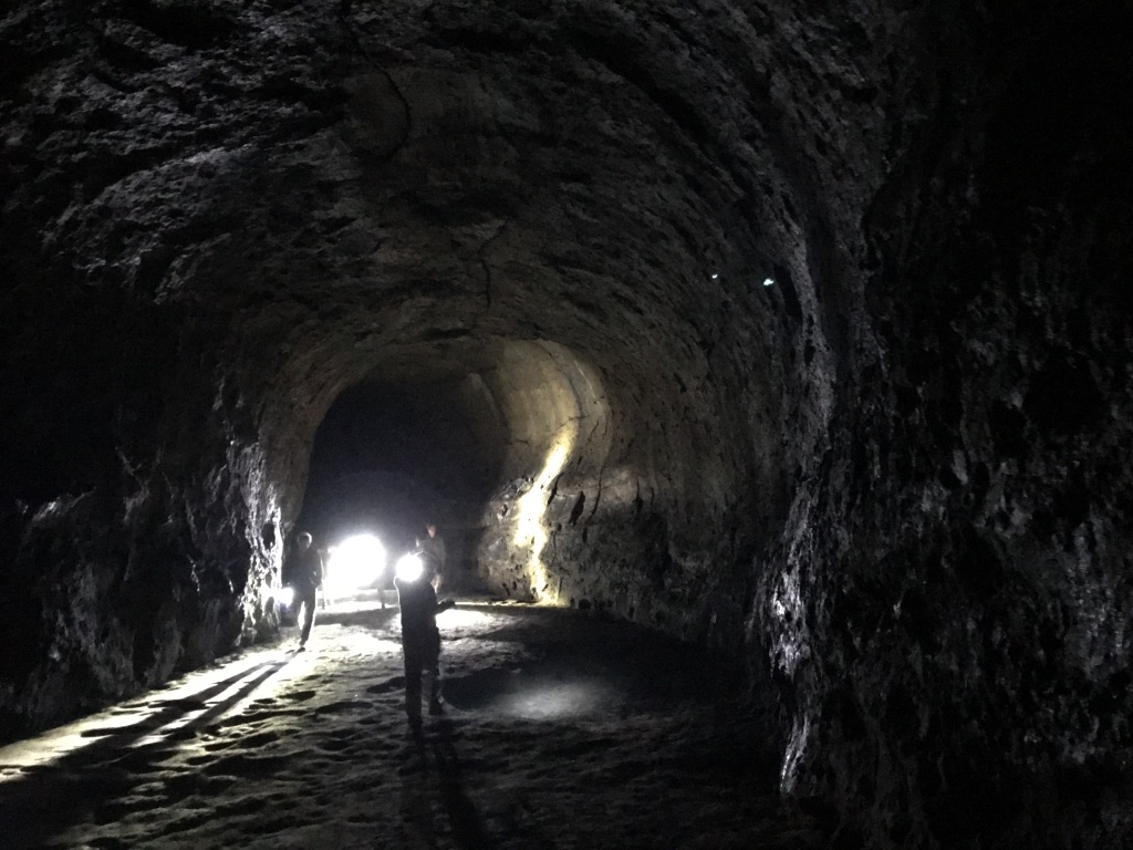
We explored the Visitor’s Center, the Sinnott Memorial Overlook (featuring an indoor exhibit room) and the gift shop to escape the fog, wind, rain, and occasional snow flurries. The fog was so thick we could not see the lake or a few hundred feet in front of us. In the afternoon we moved below the cloud line to hike the picturesque Annie Creek trail. Although a short hike, it was very picturesque. Laurie and Brad had reservations at the Crater Lake Lodge for dinner, they generously increased their table size to include all of us so we could get out of the rain and have some warm food. About 8 pm that evening the sky cleared and at first, the temperatures seemed warm. The group campfire that evening had just half of the group, the remainder had gone to bed early. The two members in the “good deal” tent had another cold and memorable night. In the middle of the night I awoke and was stunned by the visibility of the night sky – there were thousands of stars! My tent thermometer showed that temperatures had dropped into the upper twenties.

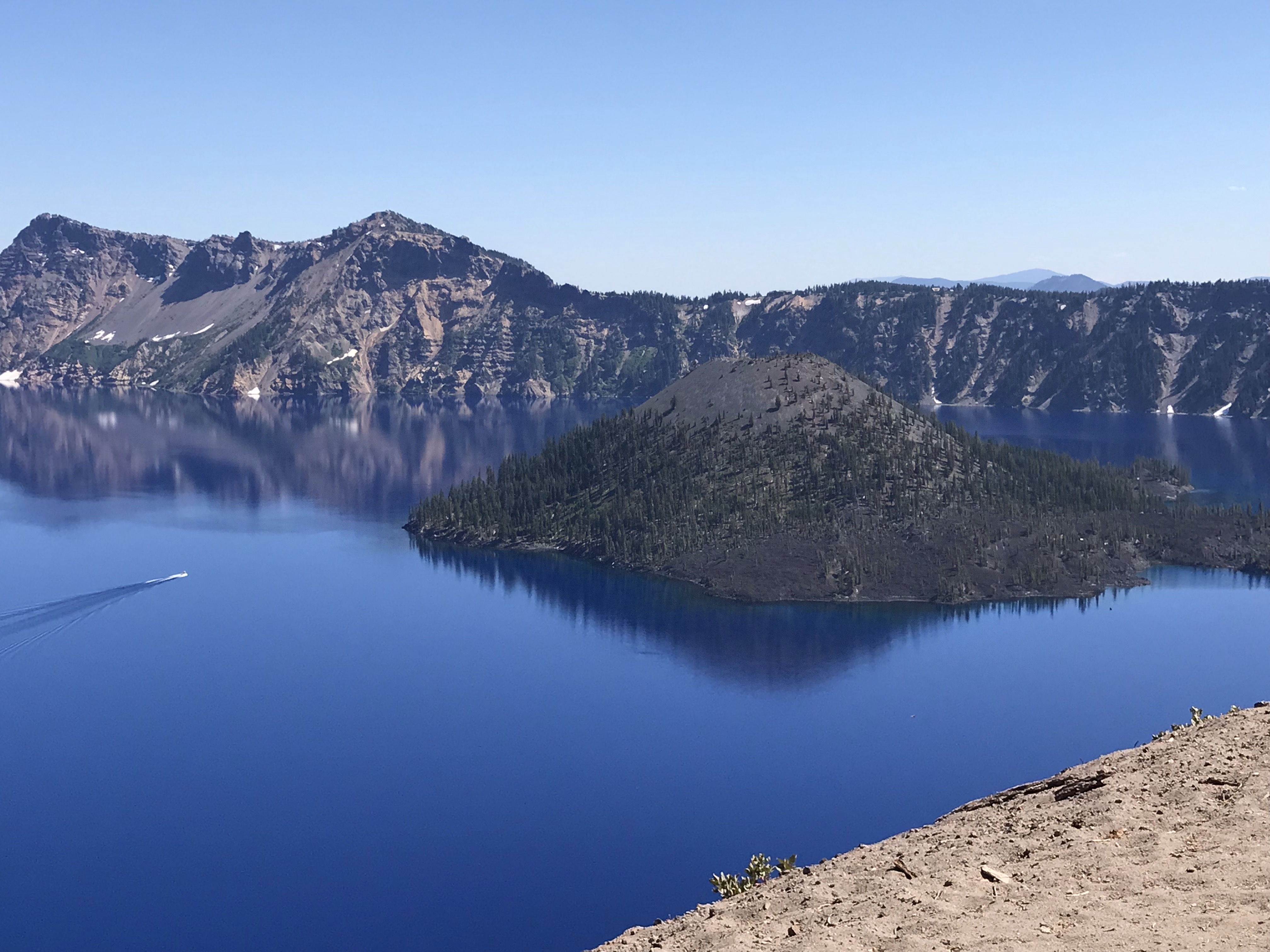
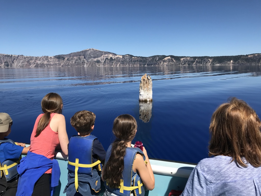
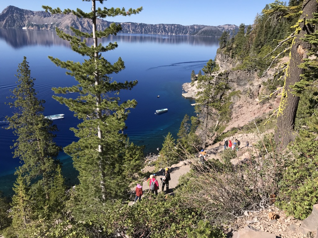
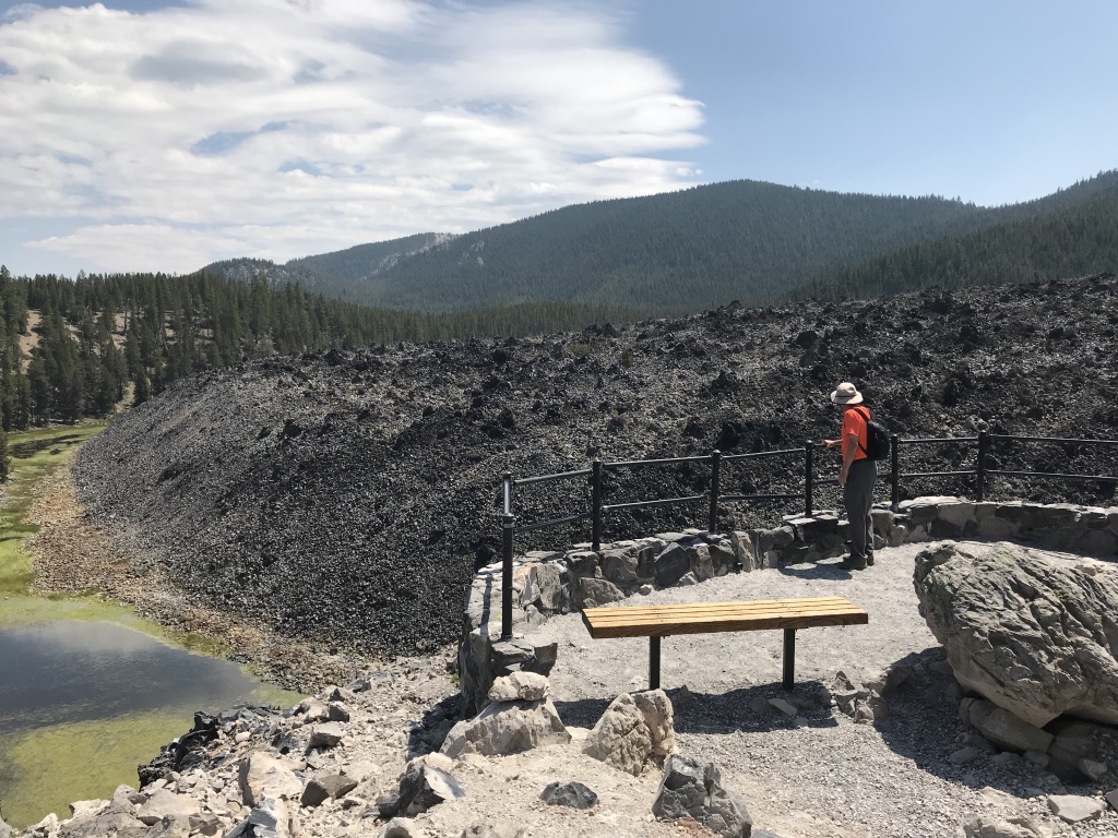
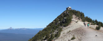
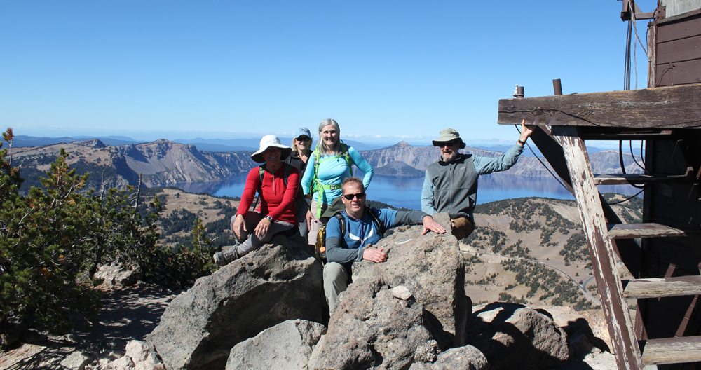
On Monday the sun returned and the group broke camp, but before we did we waited anxiously for two members to return their “good deal” tent. The two walked stoically into the store and presented their tale of woe to a staff person when the person said “no refunds” the disheveled and muddy remains of the tent was plopped like a large wet sponge onto the counter for all to see. The act proved its point about the product’s poor quality. Their money was returned. Victorious that two of our members had saved their money (and dignity) we traveled to the rim where we hiked for several hours sightseeing and enjoying the views of Wizard Island. We tried to visit Watchman Peak but the trail was still heavy with snow and the area was closed. Although the sun was shining the temperatures remained in the mid-50s and the wind had a nippy bite, the group tabled Cleetwood Cove for another time, jumping in Crater Lake would be for another trip.

Greening the Park Store

Parks and outdoor interpretive organizations are always looking to green their operations. But sometimes the enthusiasm of the moment results in a “Ready, Fire!, Aim” approach when a “Ready, Aim, Fire!” approach is needed.

READY: Understand the purpose of greening the park store.

Ask the question, “What problem do you wish to solve?”

This may sound counter-intuitive, but the purpose of greening your space is not about ‘saving the planet’ or ‘protecting the environment’. While individuals and organizations may be passionate about such issues, framing a discussion around these hot-button slogans could have combustible results. Remember that a manager, co-worker, budget officer, visitor, or even a donor may have a very different perception of these words and their meanings.

The purpose of greening your organization should instead be grounded in measurable benefits like reducing waste, reusing-recycling materials, and conserving energy which aid in those correcting those other issues.

AIM: Understand the mission-based justification.

What results or benefits do you wish to obtain from greening your store? Here are three of my favorites:

  • Help visitors to better understand where they are visiting.
  • Gain a competitive advantage.
  • A healthier bottom line.

FIRE: You take action!

Here are five helpful steps to consider as you take action.

Step 1: Scope
Document your project’s scope – this includes the project’s purpose and business justification.

Step 2: Assessment
The purpose of an assessment is to help establish a baseline for your green practices. A baseline is an original plan for a project, and any changes will be measured against the baseline.

Step 3: Implementation
This is an entire subject by itself of which future articles will be written. But here are some key points to remember when implementing your green processes.

  • Build on small victories.
  • Generate momentum (buy-in) for your project by demonstrating the economic benefits.
  • Green activities should not be dictated from above – but rather modeled.
  • Always Document processes.

Step 4: Communicate
Publish the processes on an intranet or another centralized internal website. Communicate with your donors and visitors about how you are reducing pollution, etc. Educate any front-line staff on the advantages and goals of your project.

Step 5: Measure
Refer to your original baseline and track progress at least on a monthly basis.

When greening your own operation remember a “Ready, Aim, Fire!” approach before starting a project. Understanding the purpose and the justification of the project will help you in reaching your green goals.

Exploring Santa Rosa Island, Channel Islands National Park

Located off the Santa Barbara coast, California’s Channel Islands reflect a natural beauty reminiscent of California before the modern age. Join us as we make the 40-mile channel crossing to Santa Rosa Island and enjoy 3 days exploring this rarely visiting landscape. The island is the second largest (52,794 acres) in the park and offers grass-covered hills, canyons, creeks, rocky intertidal areas, and sandy beaches.

Organization: GlyphGuy Adventure Travel
Date: August 1999 (two trips: one was a scouting trip)
Trip leader: Mark Hougardy
Participants: 3


Backpacking in the Marin Headlands

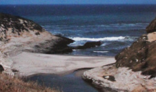
The Marin Headlands offers breathtaking views of the San Francisco area and Pacific Ocean. Join us on Saturday, May 16-17 as we explore the area around Point Bonita Lighthouse before hiking to Hawk Camp which overlooks the Gerbode valley. Sunday, we appreciate the 360 degree views of the bay area the Bobcat Trail offers before continuing to Rodeo Beach for an afternoon of beachcombing and exploration. One possible side trip includes the Marin Mammal Center which rehabiliatates marine creatures. Total hiking distance is 8 miles.

Organization: Sanborn Park Hostel
Date: Saturday, 16-17 May 1999
Trip leader: Mark Hougardy
Participants: 8

Above and Below Pinnacles National Monument

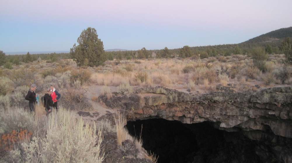
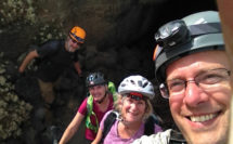
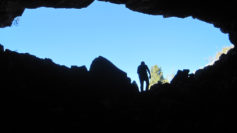
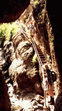
Join us for an 8-mile loop hike through the rugged spires of Pinnacles National Monument and caves. This is a fun but strenuous trip.
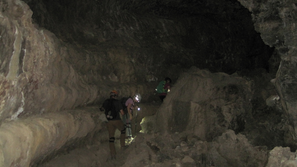
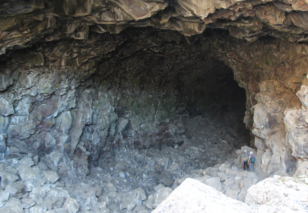
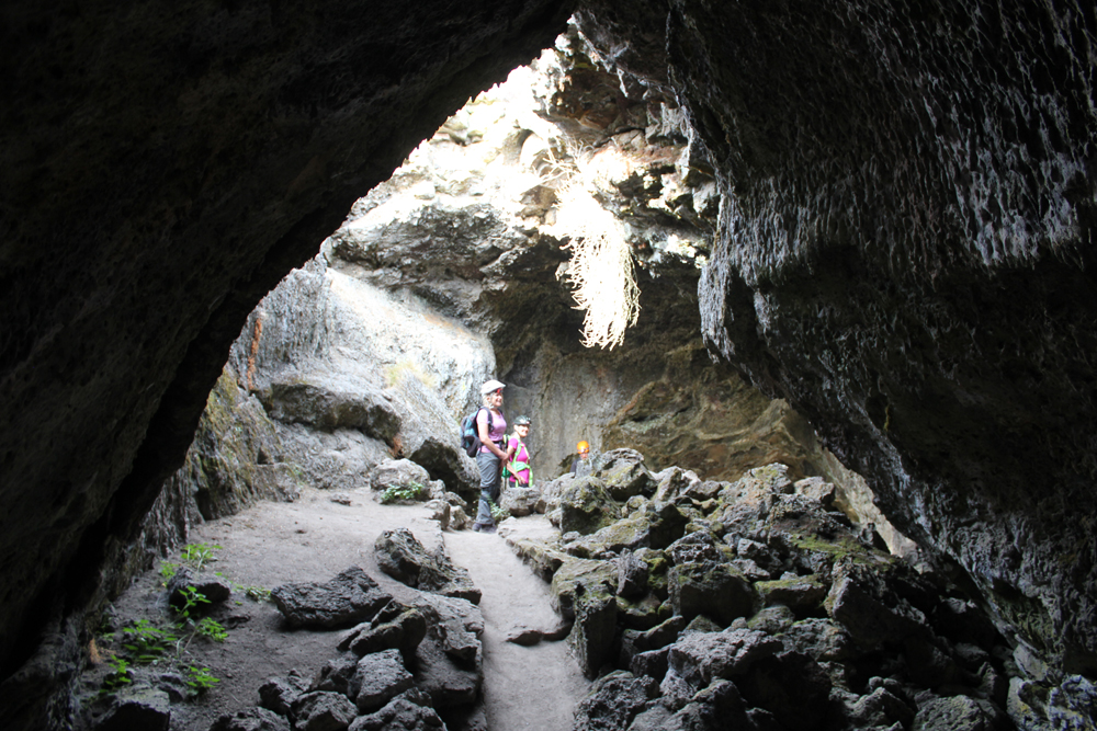
Flashlights are required. Be prepared to get your feet wet as a small stream will flow through the cave. The hike begins and ends at the Ranger Station. Be prepared for bright sun and temperatures on the warmer side, a light jacket may be needed for the caves.

Meet at the Sanborn Park Hostel where we will determine carpool arrangements and depart promptly at 7:30 am. Maps to PNM will be provided. Please allow for a two hour travel time. We’ll regroup at the Park Headquarters between 9:30 and 9:45 a.m. Day use fee of $5 per vehicle.

Organization: Sanborn Park Hostel
Date: Saturday, April 25, 1999
Trip leader: Mark Hougardy
Participants: 10