Organization: Sunnyvale – Cupertino Adult Community Education
Instructor: Mark Hougardy
Participants: 7-12
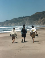
Course Overview: Explore local parks and natural areas with other young families. Parks are within an hour’s drive. Provide your own transportation. Bring lunch, water, first aid kit, and whistle. Wear layered clothing, comfortable shoes and bring a hat. Trails are easy but not stroller friendly. Each hike is 2-3 miles and about 2 hours in duration. Destination parks will also have areas to explore and play. Meet at 9:50 AM. Hikes start promptly at 10:00 AM Restrooms are available at the parks!
The Instructor: Mark Hougardy has over ten years of experience developing and leading interpretive day hikes and overnight camping trips. He works closely with select National and California State Park associations to further their interpretive missions. Mark is a father and enjoys fostering experiences for families to enjoy the outdoors.
October 9, 2004: VILLA MONTALVO COUNTY PARK
Start Location: ACE classroom 4 C
Travel time from ACE: 20 minutes
Description: A pleasant hike in the grounds of the Villa Montalvo Estate. The hike will include a trip to Vista Point for views of Silicon Valley clear to San Francisco. The hike will end on the front lawn of the estate. Time will be available for an optional picnic and explore a nearby lawn-art structure.
Directions: From ACE travel South on Saratoga-Sunnyvale Road to downtown Saratoga. Continue straight (southeast) on Hwy 9 one-half mile. Turn Right onto Montalvo Road and follow signs. Park in Lot #4.
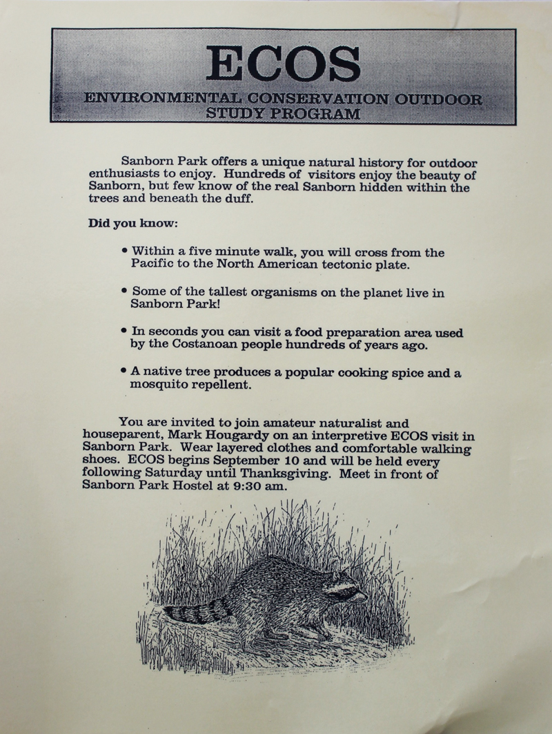
October 16, 2004: SANBORN-SKYLINE COUNTY PARK
Start Location: Meet at Sanborn Park Hostel. Located inside the park.
Travel time from 280/DeAnza Boulevard: 20-30 minutes.
Description: The hike emphasizes the natural history of the area, including the San Andreas Fault, the tallest organisms on the planet and the animals who inhabit(ed) the park. We will visit the junior museum.
Directions: From the 280/Saratoga-Sunnyvale Road intersection travel South on Saratoga-Sunnyvale Road to downtown Saratoga. Turn Right on Hwy 9; travel 2 miles into the mountains. Just past the Saratoga Springs Campground turn Left on Sanborn Road, travel 9/10 mile, make the first and only Right turn on Picks Road. Continue one-half mile until the road dead-ends. Turn Right into the Sanborn Park Hostel parking lot.
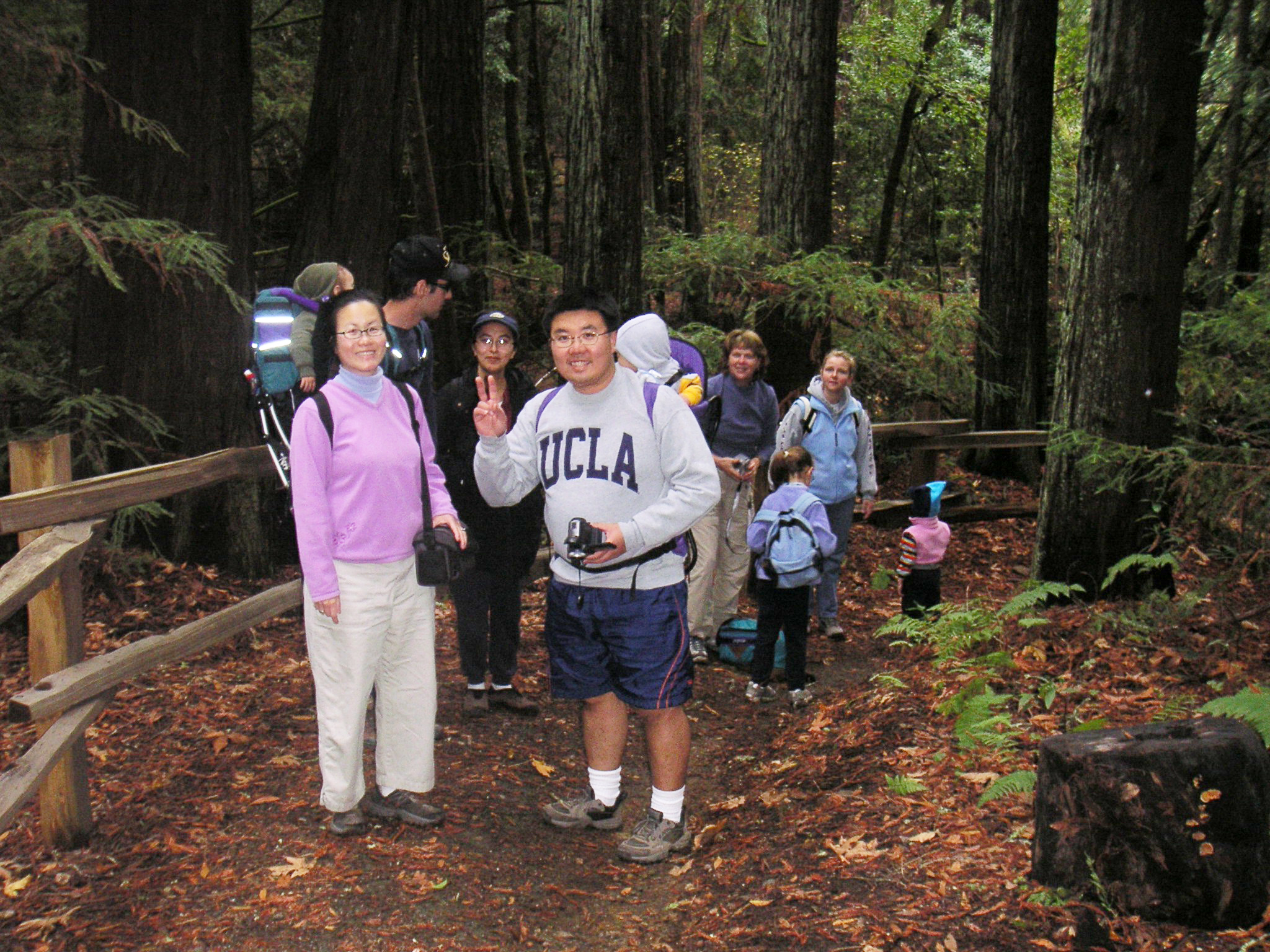
October 23, 2004: HUDDART COUNTY PARK
Start Location: Meet at Huddart Park, Werder parking lot.
Travel time from 280/DeAnza Boulevard: 30 minutes.
Description: Horses and riders frequent this park, riders often let children pet their horses but no sudden movements or noise, please. The hike includes redwoods and great trials. The hike will end at the children’s playground (Werder parking lot) where parents can enjoy a picnic lunch while the children play. Bring a picnic lunch. BBQ grills are available.
Directions:
From the 280/Saratoga-Sunnyvale Road intersection travel North on 280. Turn off at the Woodside Road (Highway 84) exit. Turn Left (westbound towards Woodside). Proceed approximately 1.5 miles through the Town of Woodside. Turn Right on Kings Mountain Road. Proceed up the hill to the main park entrance. Parking fee of $5.


 Â
 
 Trip Report: Organization: GlyphGuy Adventure Travel
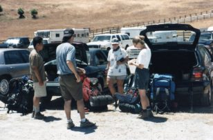


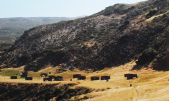
 Pinnacles National Monument is a dry terrain capped with disfigured spires that reach into the sky. In the springtime, Pinnacles National Monument brings temperate weather, colorful blooms, flowing streams and abundant wildlife.
 ed for any kind of weather.
 Sunday we pack our tents and clean our campsite before hiking the Old Pinnacles Trail. This is a rocky, yet relatively easy hike to the base of some spectacular spires – a short distance beyond lie the quarter of a mile long, Balconies Cave. The cave is dark and will require flashlights. After the cave, the trail ascends to the Balconies Cliff Trail (.8 mile) with imposing views of Machete Ridge and Balconies which are sometimes called, “Little Yosemite.” Look for prairie falcons and golden eagles. The path returns to the Old Pinnacles Trail and a gentle descent to the parking area. We’ll depart in the afternoon at about 2 pm with plenty of light for a safe drive back to the South Bay.
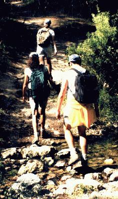
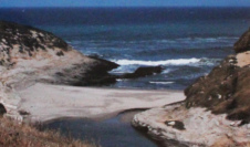
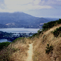 Join us on the last day of Spring as we depart on the Tiburon Ferry to explore the beautiful and historic Angel Island, State Park. Bring a day pack with foods for a picnic atop Mount Livermore which offers breathtaking 360-degree views of the Bay. Be prepared for 5+ miles of hiking on this all-day trip. Meet at the Ferry Terminal in Tiburon to depart on the 10:00 am ferry. Expect two-hour drive from the south bay. Directions: Past the Golden Gate Bridge, drive 101 north, take the Tiburon exit (Hwy-131) and drive 10 minutes. Look for the $5.00 a day parking area located next to Library and Home Savings Bank on left. Walk several blocks to the STOP sign, the ferry is on left.
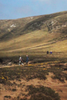
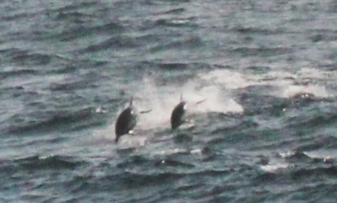
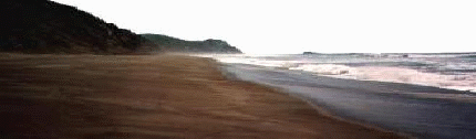
 The Marin Headlands offers breathtaking views of the San Francisco area and Pacific Ocean. Join us on Saturday, May 16-17 as we explore the area around Point Bonita Lighthouse before hiking to Hawk Camp which overlooks the Gerbode valley. Sunday, we appreciate the 360 degree views of the bay area the Bobcat Trail offers before continuing to Rodeo Beach for an afternoon of beachcombing and exploration. One possible side trip includes the Marin Mammal Center which rehabiliatates marine creatures. Total hiking distance is 8 miles.
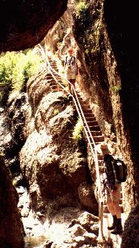 Join us for an 8-mile loop hike through the rugged spires of Pinnacles National Monument and caves. This is a fun but strenuous trip.