Trip Report:
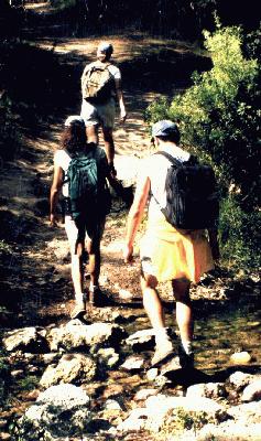
Group Leader: Mark Hougardy | Organization: Eugene-based Hiking Club | Date: July 2021 | Duration: 3 days | Distance: 19 miles | Participants: 7 | Type: Hiking & Camping | Trip leader and participants were fully vaccinated against Covid-19
Note: For logistical reasons, the trip was split into three sections with the second section being on day one and the first section on day two.
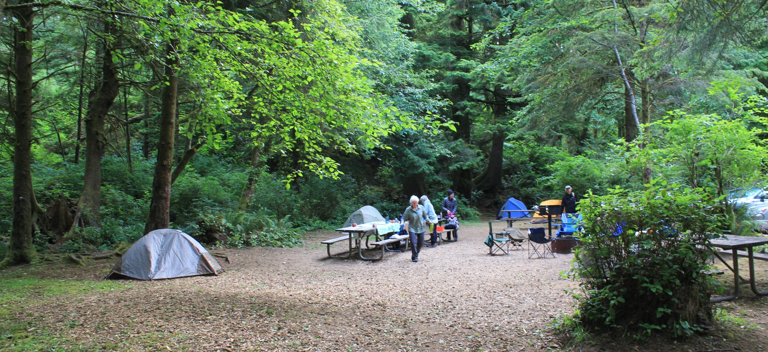
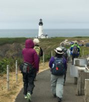
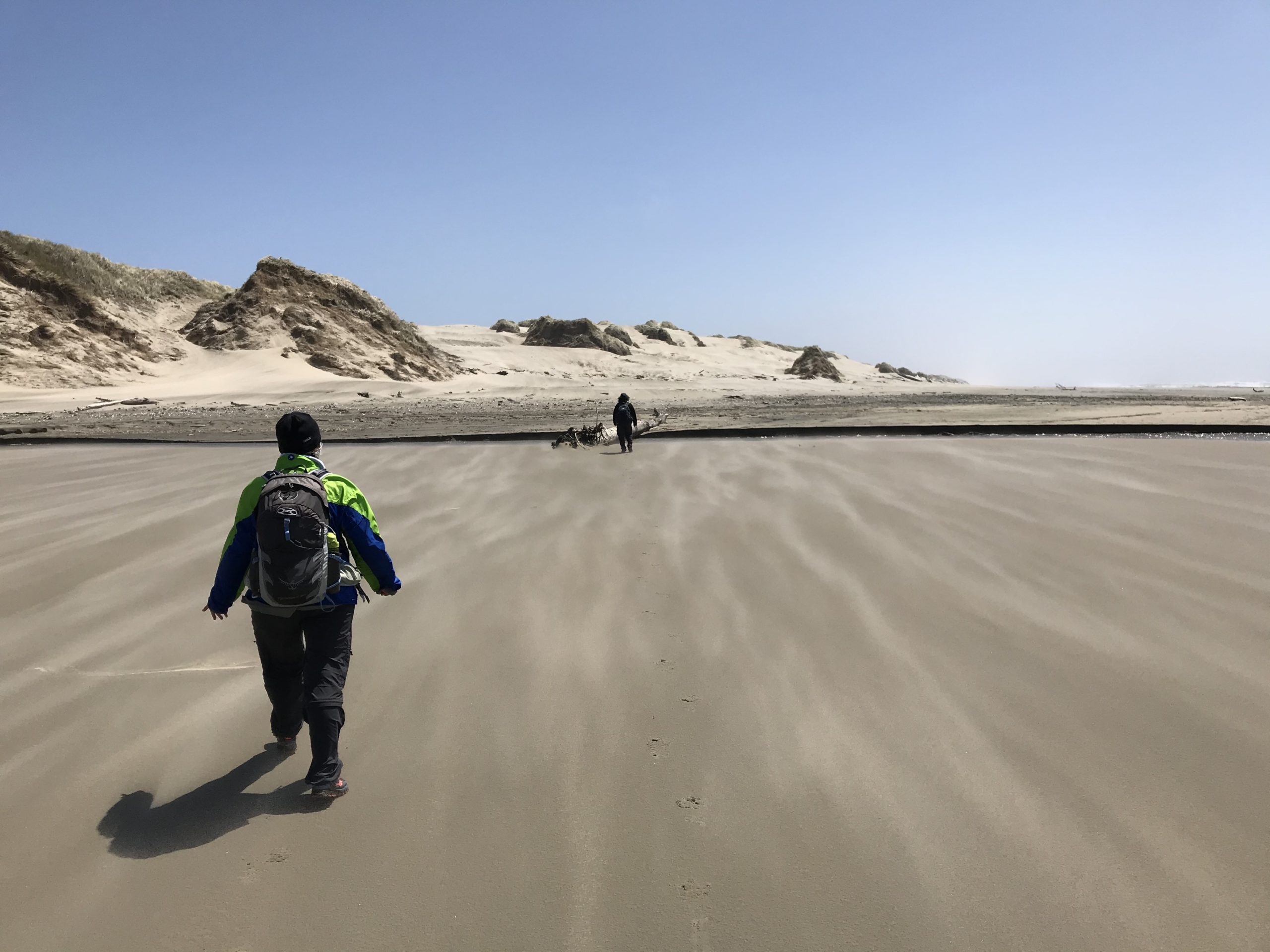
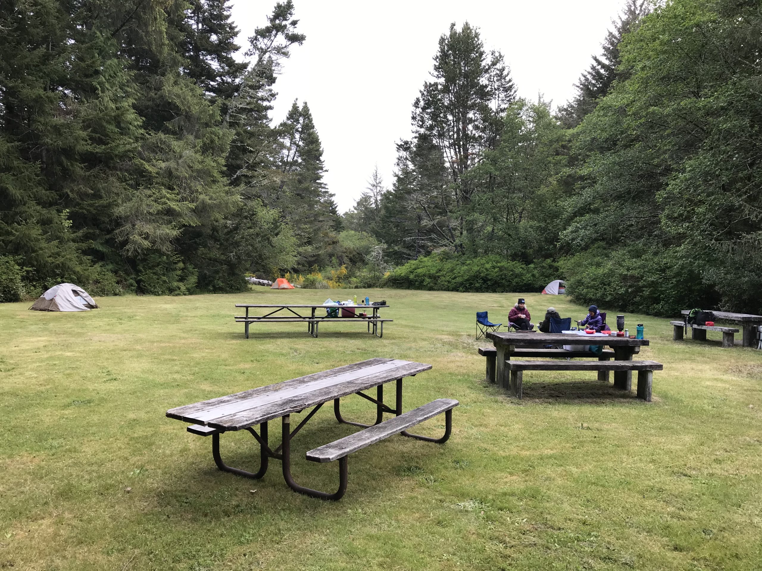
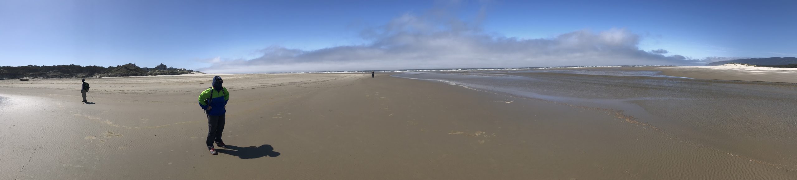
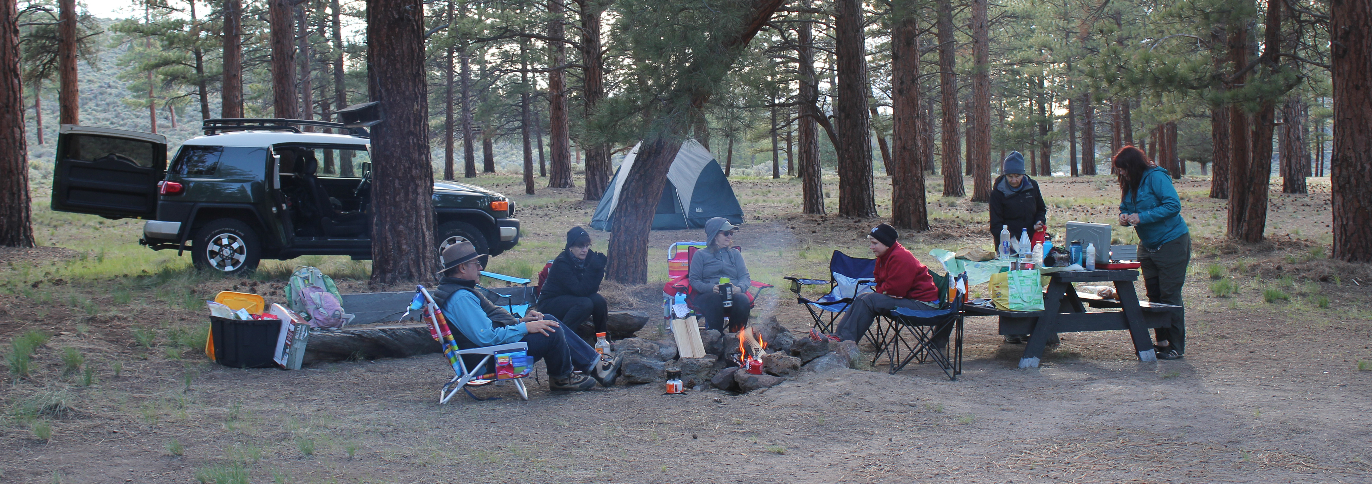
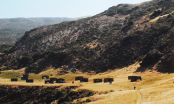
Day One: The trip began at the Yaquina Head Interpretive Center. Very windy. We explored Quarry Cove, the lighthouse, then rested out of the wind at Cobble Beach. We saw lots of common mures and several sea lions. Close to 4 pm we drove to the Beverly Beach State Park and stayed in a Group Camp. That afternoon, we attempted a walk south on the beach to the Mooklack Beach, but the wind was unrelenting, so we stayed more inland. We hiked the Nature Trail around the park, then later spent the evening around the campfire.
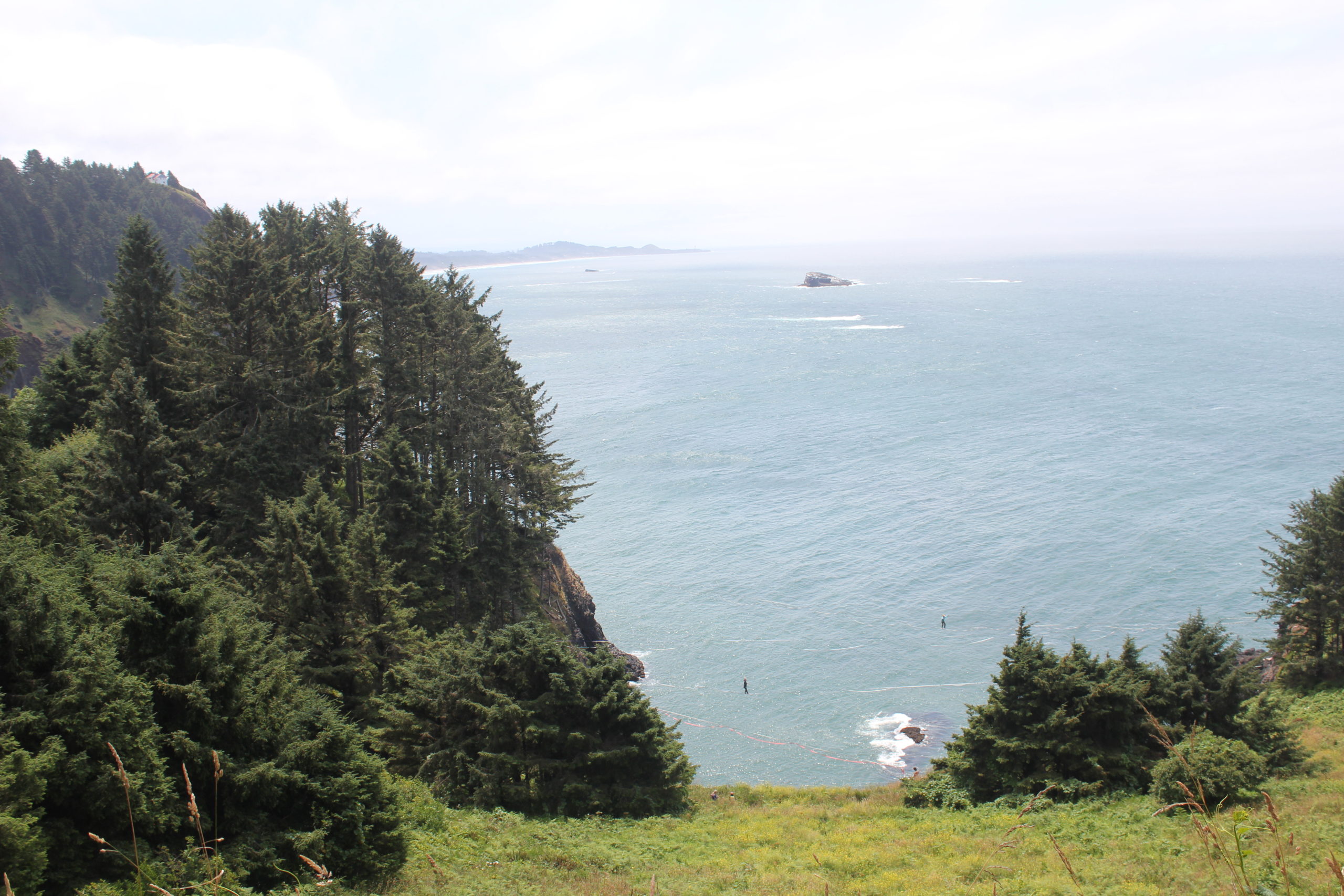
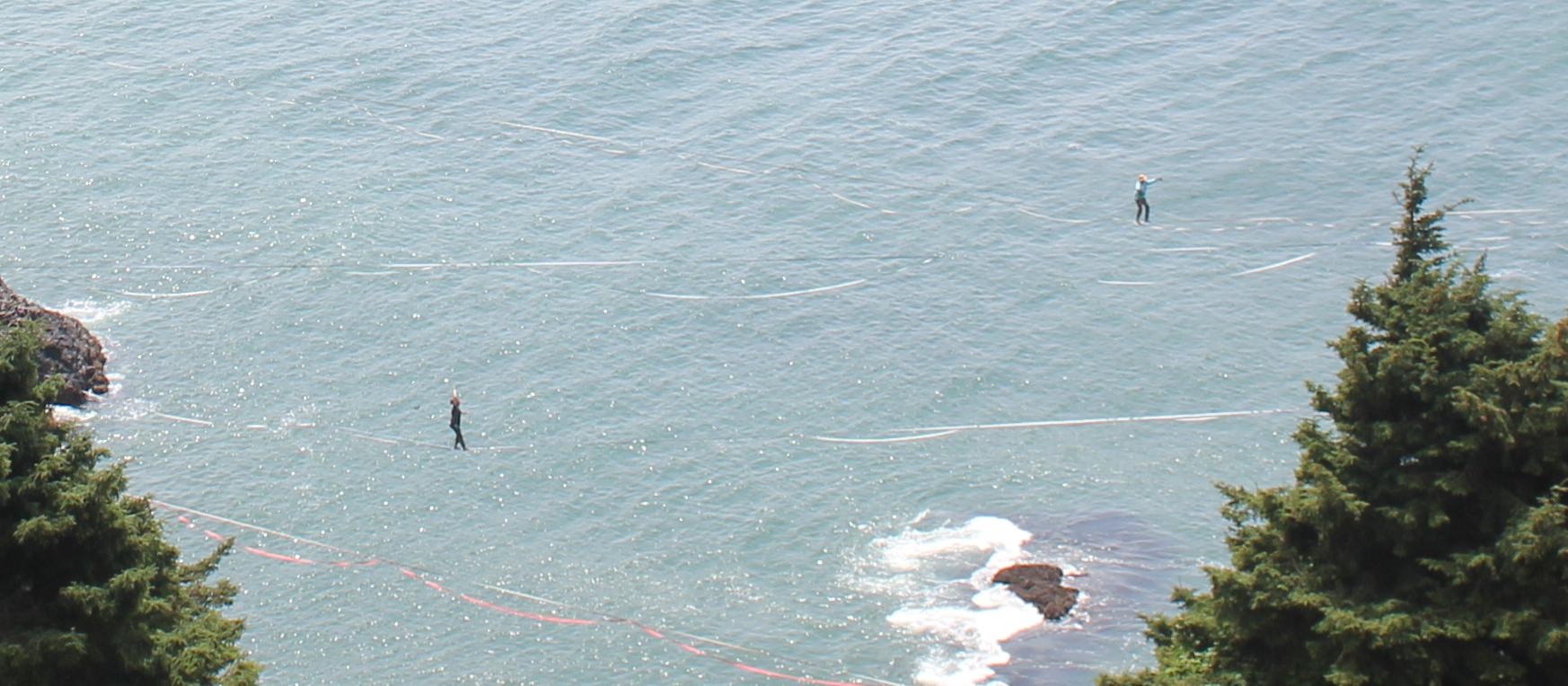
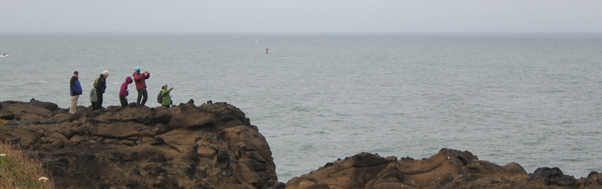
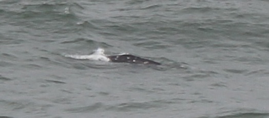
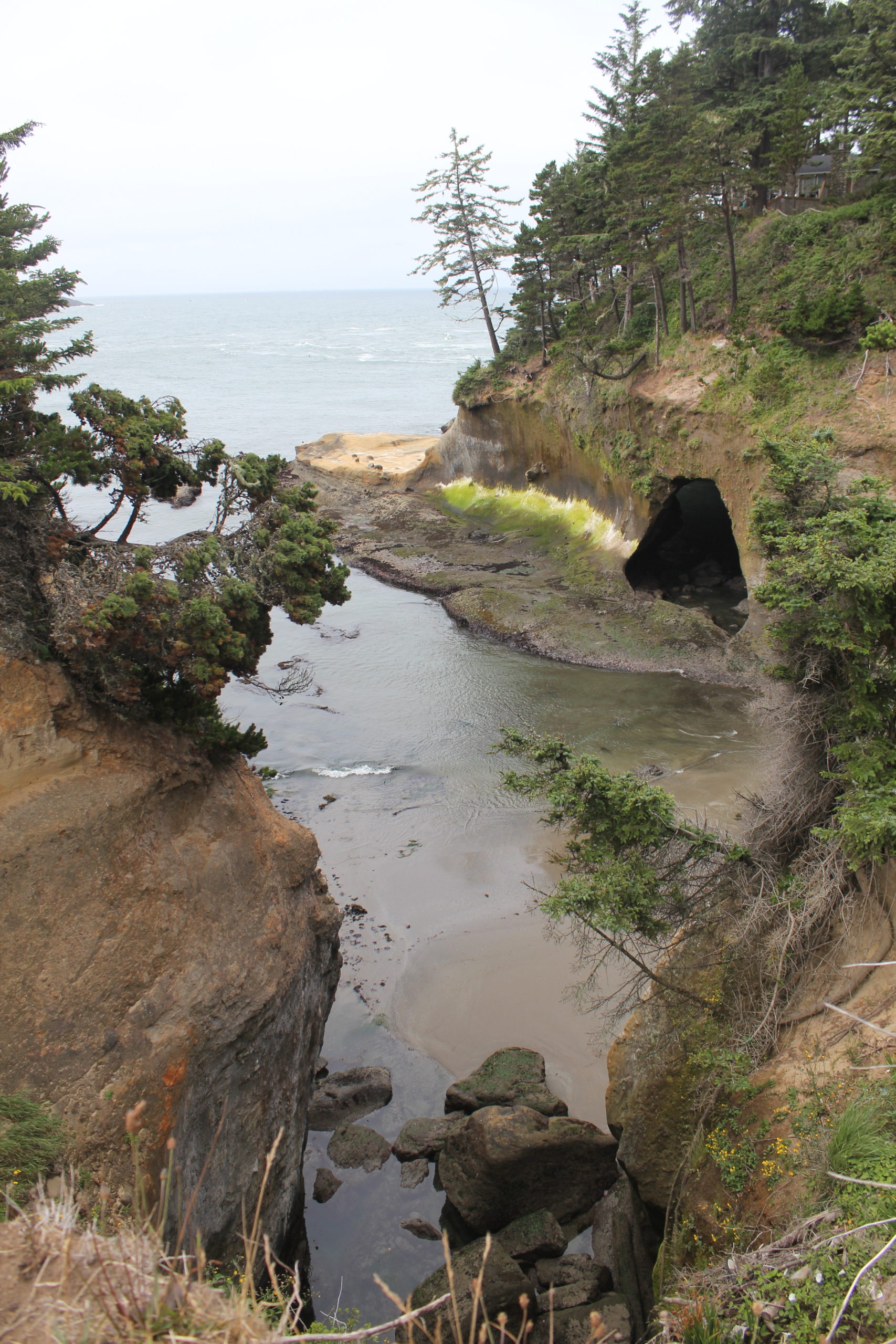
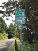
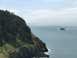
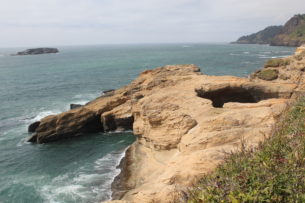
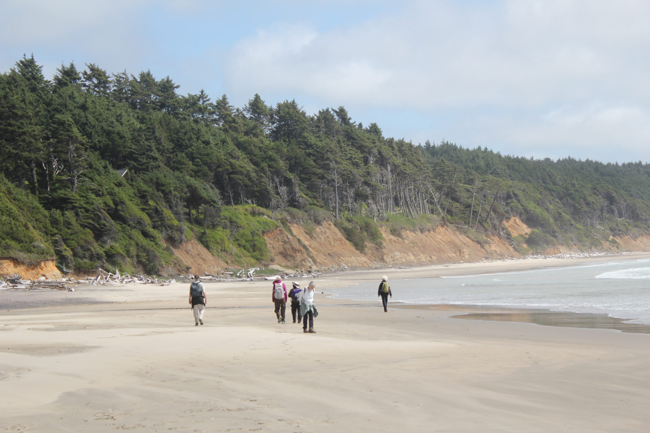
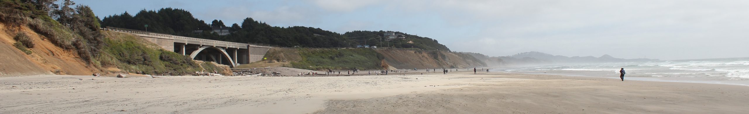
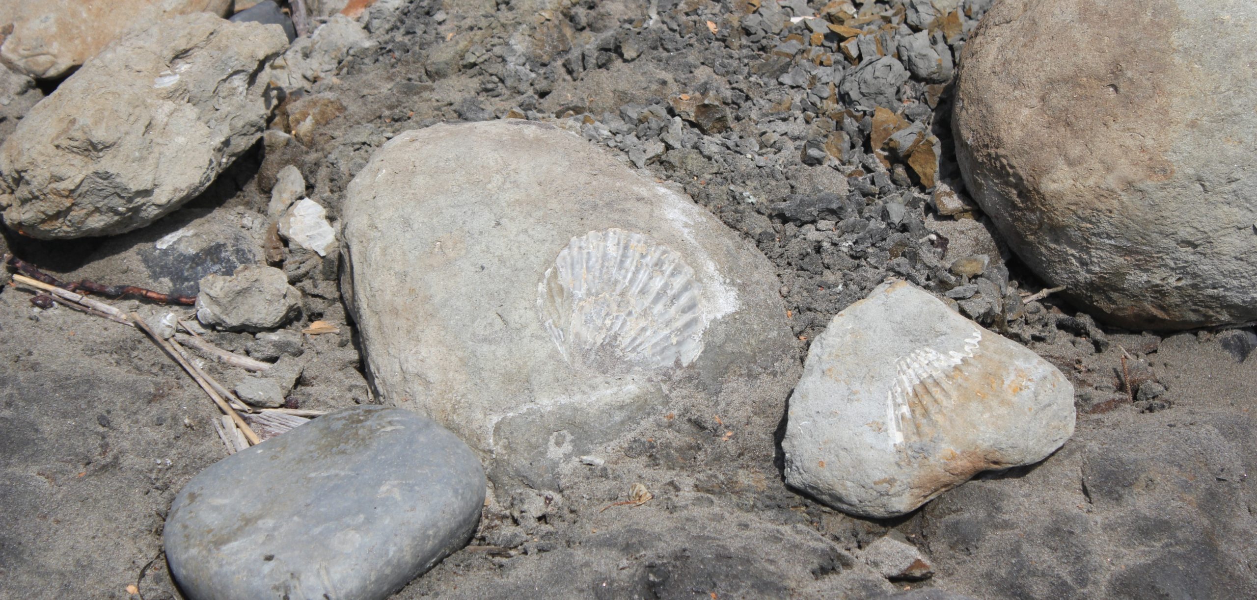
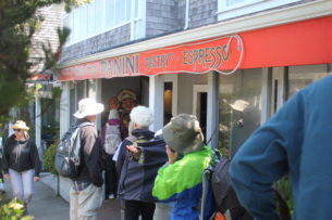
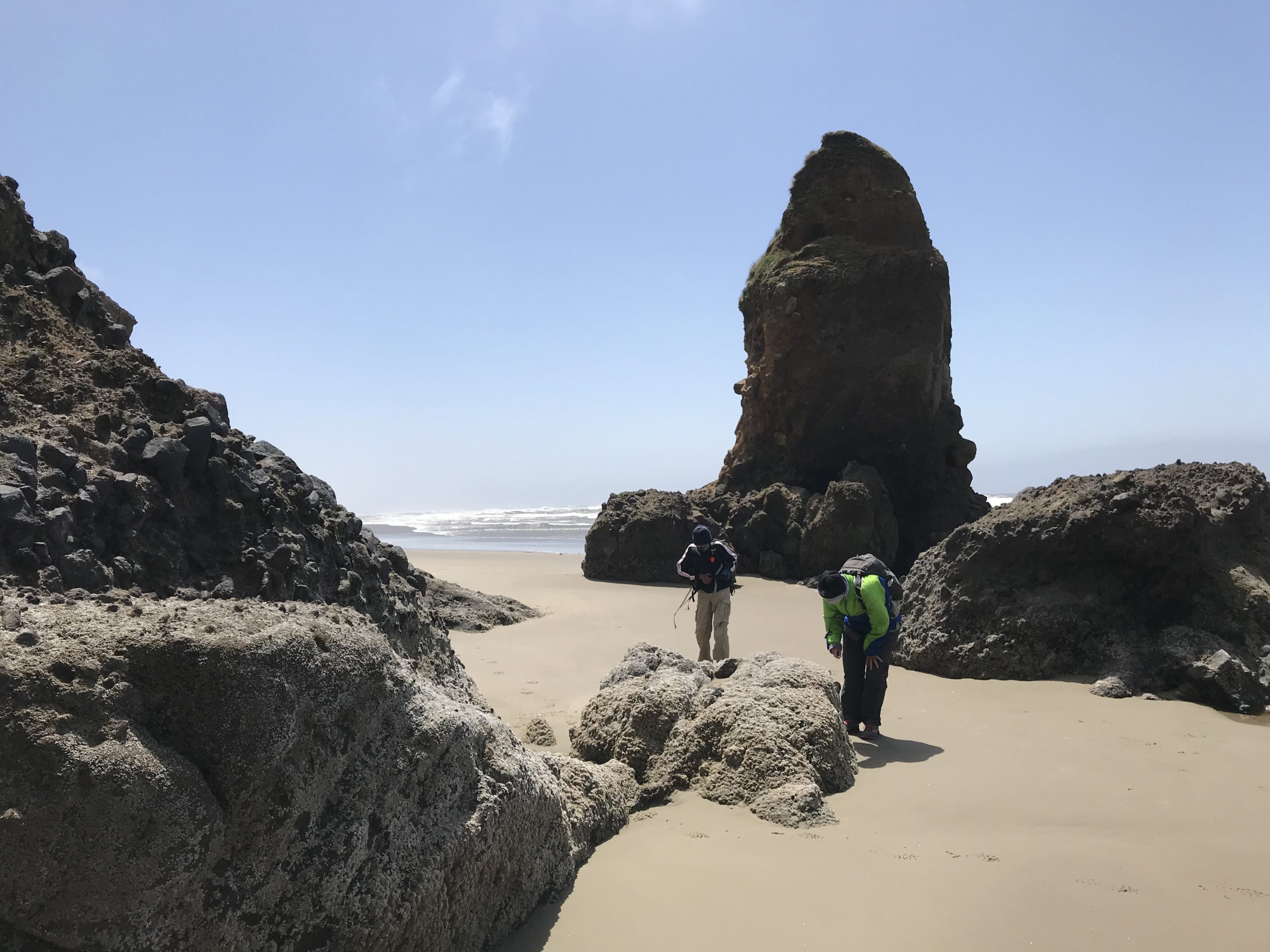
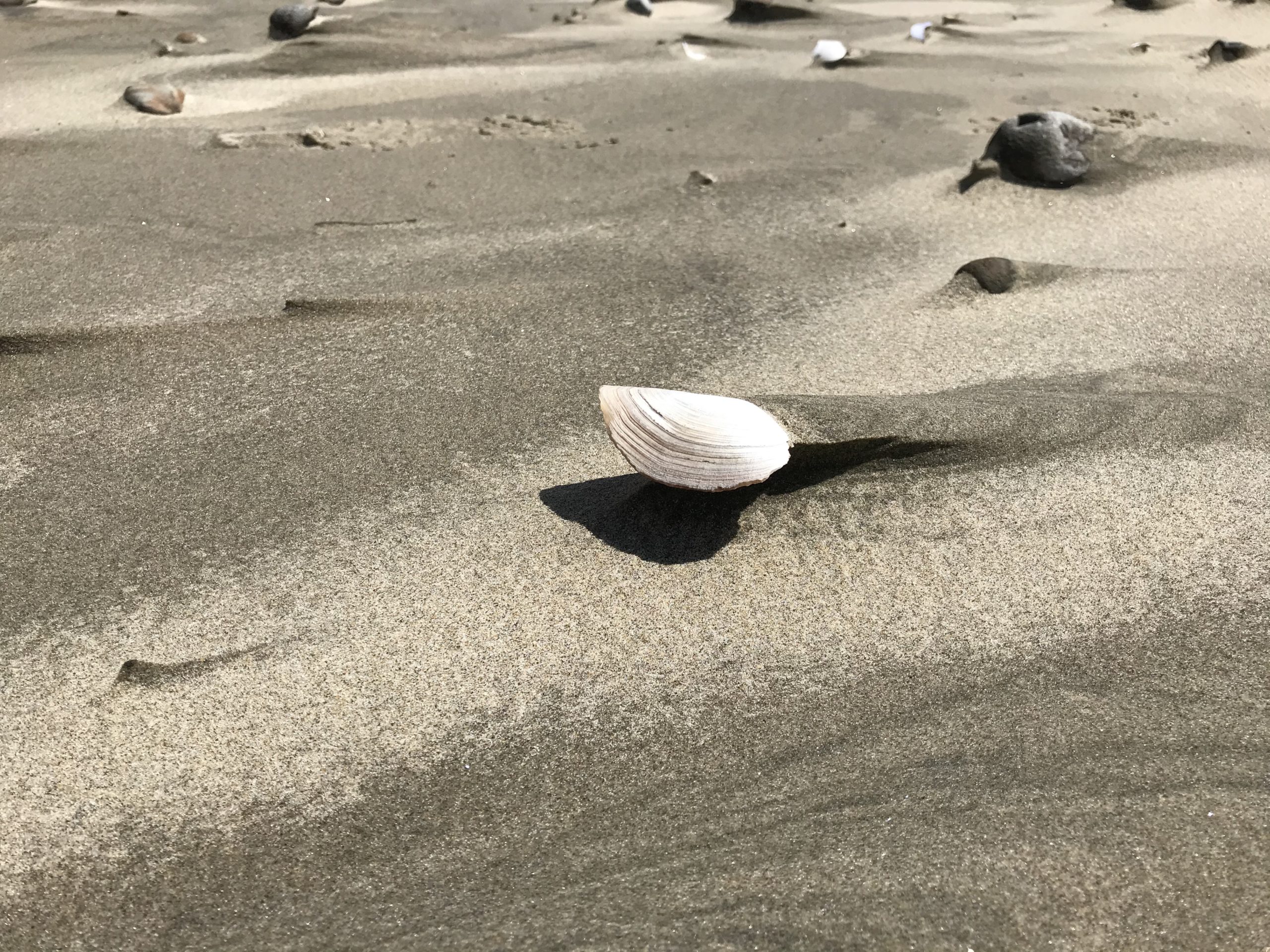
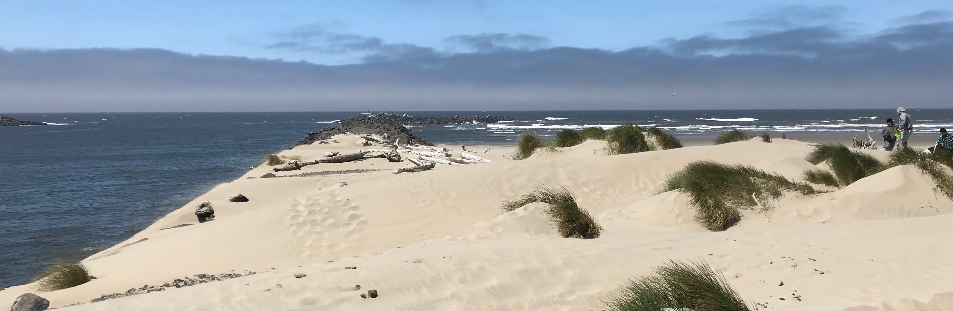
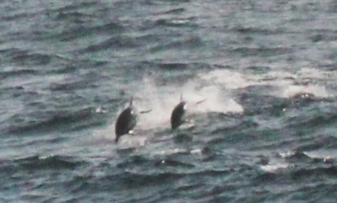
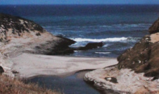
Day Two: We departed camp at 9 am and drove to Depoe Bay to explore some of the small parks and hidden lookouts adjacent to residential areas. We saw several grey whales feeding close to shore. At the Big Tire overlook, we saw lots of cormorants and a great view. The group enjoyed a coffee at a local coffeehouse. We departed for the Rocky Creek State Scenic Viewpoint 2 miles away. This was to avoid a dangerous stretch of highway with no shoulder. We walked the Otter Crest Loop. A short walk down the road revealed several people walking a slackline suspended between two sides of the cliff and high over the ocean. If we were driving, we would not have seen them. We watched them for a time from the roadside. We continued to Cape Foulweater, curiously being re-branded as Otter Crest State Scenic Viewpoint, and looked at the magnificent view. We had a short bite to eat and rest. We continued to Devil’s Punchbowl State Natural Area then walked on the beach looking at fossils. We continued south, then under the Hwy 101 bridge into Beverly Beach State Park to our group site. We spent the evening around the campfire.
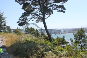
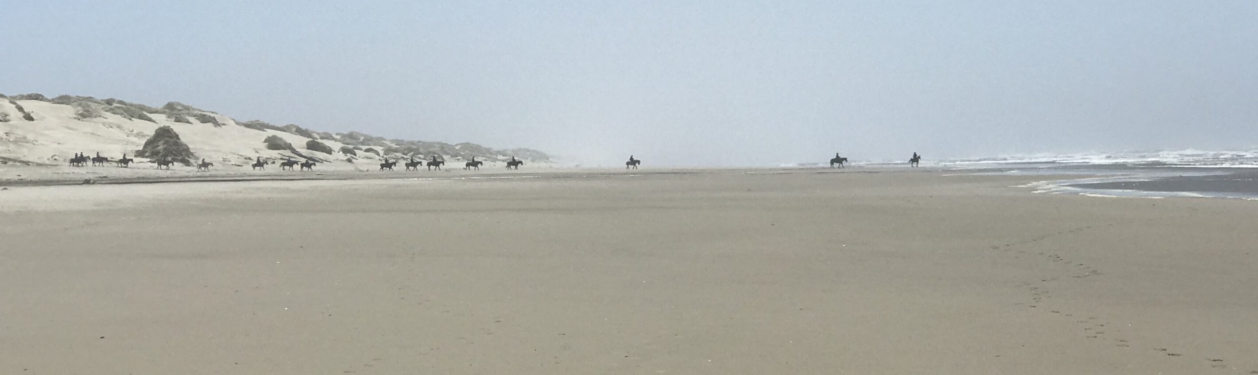
Day Three: The group broke camp and drove a short way to the Agate Beach State Recreation Area and we arranged a shuttle to the endpoint. We walked north a bit, but the high wind returned. At Nye Beach, we walked into town and the group descended upon a small bakery. Afterward, we continued on Elizabeth Street to the Yaquina Head lighthouse. We ended our trip overlooking the Yaquina Bay Bridge.
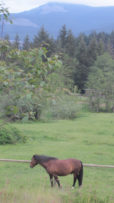
We encountered: bumblebees, grey whales, sea lions, common murres, cormorants, pelicans, humans, crows, robins, one pigeon (emerging from a small cave at the Big Tire overlook; interestingly, the bird’s pigeons descended from before they were domesticated lived in seaside cliffs). We also saw deer and a ground squirrel.


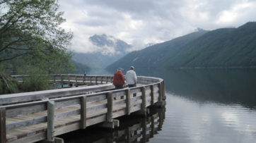
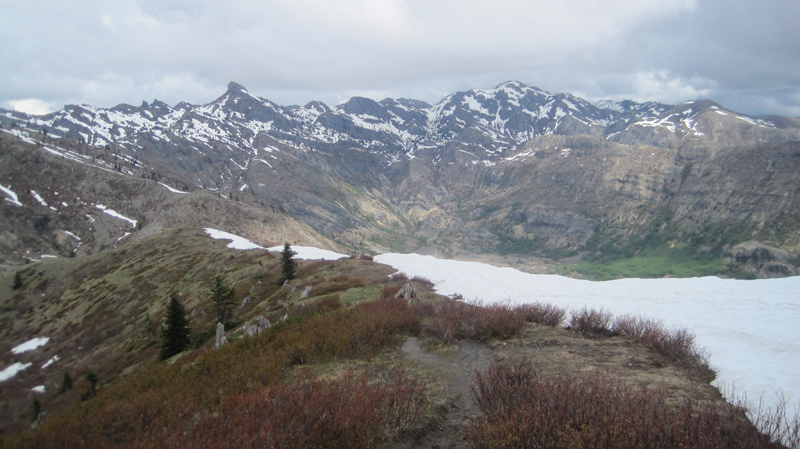
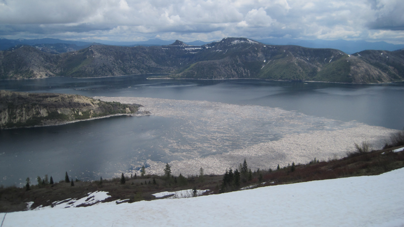
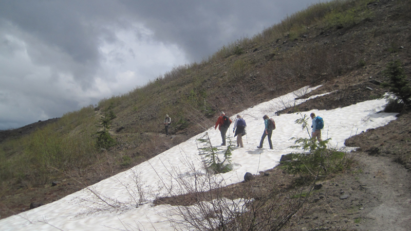
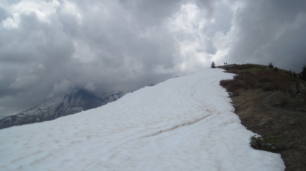
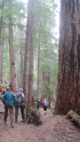
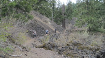
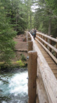
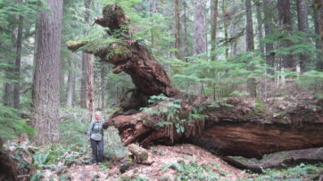
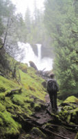
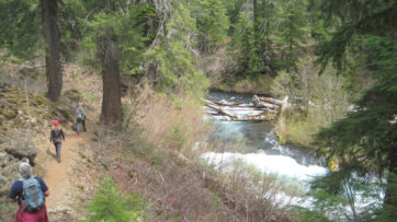
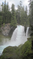
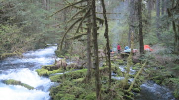 Our plan to hike to Tamolitch Falls (Blue Pool) was cut short when a sign stated a mile of trail was closed because water had flooded the path in places to a depth of 3 feet. Even with the closure, there was plenty to appreciate further upstream at Clear Lake with its crystalline waters and turquoise colored Great Spring. Animals that were seen along the trail also appeared to appreciate the warmer weather as fish jumped in the lake, several species of birds flew overhead, and a garter snake warmed itself on the rocks. In shaded areas winter still managed to hold its grip as large patches of snow remained. Springs spontaneously appeared on the trail sometimes forming small ponds, and at one point, all of us were mesmerized by a plate-sized vortex that had formed in such a pool. After a solid day of hiking, we visited Belknap Hot Springs for a relaxing soak. Because we timed our visit before the Memorial Day crowds the U.S. Forest Service campground was basically empty. Our campsite was green with moss and located next to a white rushing stream that looked like it was born from a Tolkien novel. The next day we enjoyed the comfort of a morning campfire, broke camp, and explored several more miles of trail before heading home.
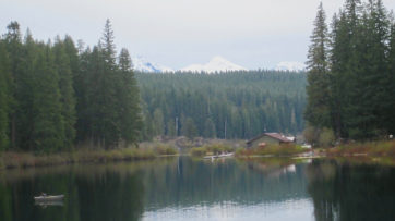
 Â Â


 Â
  Â
 

 Â
  Â


 Â
 
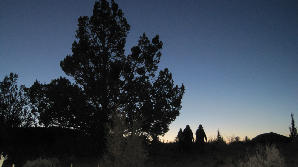
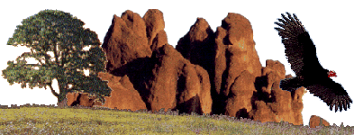 Pinnacles National Monument is a dry terrain capped with disfigured spires that reach into the sky. In the springtime, Pinnacles National Monument brings temperate weather, colorful blooms, flowing streams and abundant wildlife.
 ed for any kind of weather.
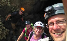
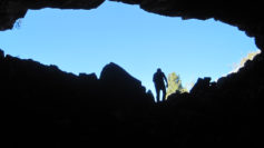
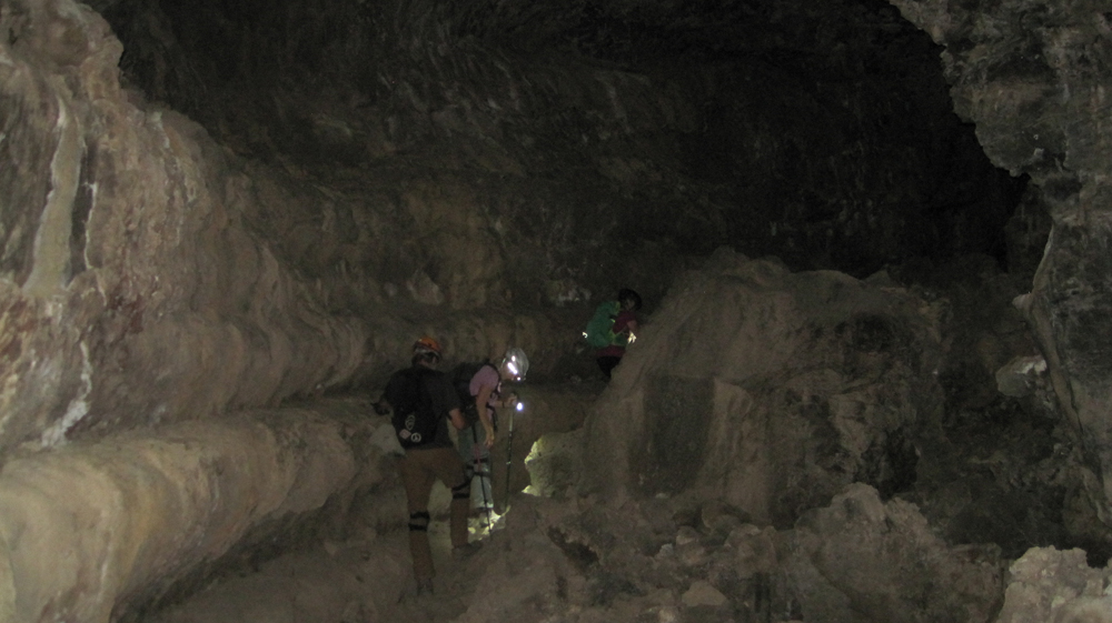
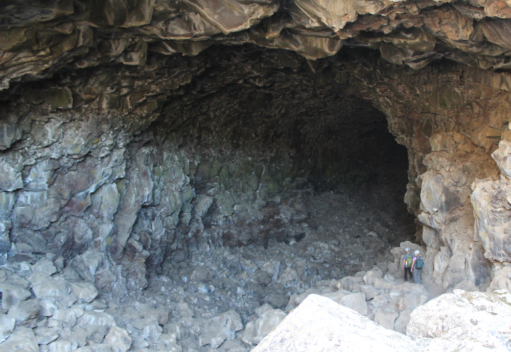
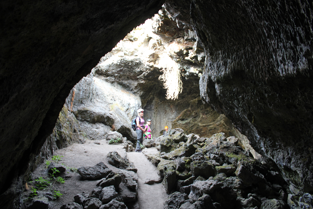
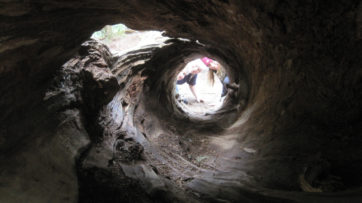
 Sunday we pack our tents and clean our campsite before hiking the Old Pinnacles Trail. This is a rocky, yet relatively easy hike to the base of some spectacular spires – a short distance beyond lie the quarter of a mile long, Balconies Cave. The cave is dark and will require flashlights. After the cave, the trail ascends to the Balconies Cliff Trail (.8 mile) with imposing views of Machete Ridge and Balconies which are sometimes called, “Little Yosemite.” Look for prairie falcons and golden eagles. The path returns to the Old Pinnacles Trail and a gentle descent to the parking area. We’ll depart in the afternoon at about 2 pm with plenty of light for a safe drive back to the South Bay.