Several years ago at a trip leader training, someone asked the question, “At the end of a travel program what happens to the tips intended for housekeeping?
Some quick background: The travel company had been providing tips to the housekeeping staff (at the various hotels utilized on tours) by paying the hotels directly. The expectation was these funds would navigate corporate accounting departments and “trickle down” to the individuals who did the work. The general feedback was these funds were not getting paid out, and if this was being paid out, had not been communicated to staff or observed in paychecks. To ensure that housekeeping was receiving their hard-earned tips, the travel company made the individual trip leaders responsible for this. The company would deposit the tips for housekeeping into the trip leader’s bank account, who then had to pull this out of their bank as cash, and then pay the housekeeping manager directly at the end of the trip.
Then another question was asked, “How does someone know if the cash even reaches housekeeping?” The answer from the travel company was, “We don’t know. There’s no way to track this once the trip leaders pull it from their account.”
Whoa! This was not just a glaring hole in the travel company’s process, but one that left the trip leader in a precarious position regarding their honesty if anyone ever asked the question, “What happened to the money?” Integrity and being mindful of others’ hard work mean everything in the hospitality/travel business. Having integrity questioned –or even an ounce of suspicion– is a death knell to one’s career.
After that day, I documented everything related to tips intended for others, and I did this with a simple process. I’ve listed this as A, B, C, & D:
A) TAKE A PHOTO: At the end of the trip, when I am ready to pay out tips for housekeeping, I lay out the following items and take a photo that shows:
- The Rooming List (this must include my traveler’s room numbers and the dates); I include a little note on the rooming list saying this is tip money for housekeeping’s hard work.
- The correct amount of cash out, and I clearly display the ID numbers and amount of each bill.
- An envelope with the housekeeping manager’s name [if possible] or at least their title; near and edge I write the date, the time, and the travel company’s trip ID.
- A big “Thank You” is written on the envelope with the name of the travel company and my name.
B) DELIVER: I put the rooming list and cash in the envelope and immediately deliver this to the front desk staff, preferably when two people are at the desk, or someone whom I have a working relationship with, and I say, “Please place this envelope directly in the Housekeeping Manager’s mailbox.” I stay to make sure I see the envelope go into their mailbox or at least make its way into the staff room, then I thank the person when they return. Many front desks have cameras, and if I see one, I make sure to look at the camera for a moment so there is a record of me having delivered the tip envelope.
C) DOCUMENT: Depending on the situation, I might email my manager at the main office about this being delivered and I document the time and place this happened and even give a name of who this was delivered to. Regardless, I always include the earlier photo when I electronically submit all my transaction receipts at the end of the trip for reconciliation.
D). CYA (Cover Your A$$): Lastly, I keep a copy of this with my trip documents in my own files and I never get rid of this information.
This sounds a bit like overkill, but again, integrity is everything in this business; I want to make sure those who have helped my travelers receive their tips, and I also wish to practice CYA [Cover Your Backside].
On a walking tour that I led last year, a woman approached and asked about housekeeping tips since they were supposedly included in what she and others on the trip had paid. On two separate trips, with other companies, she found the tipping policy to be gray or nonexistent. This was a concern for the woman as her mother had been a housekeeper for decades and rarely received tips or was recognized. I agreed that housekeeping staff are the unsung heroes of any tour, and I wanted them to receive what was theirs. I explained the company she was currently traveling with recognized this was an issue and provided tip money to the leader to then pay the housekeeping manager directly. And, to ensure better accountability, I briefly mentioned my own process. The woman choked up and began to cry. She returned a few minutes later and thanked me for caring. At the end of the trip, she thanked me again and said she would be traveling again with the same company.

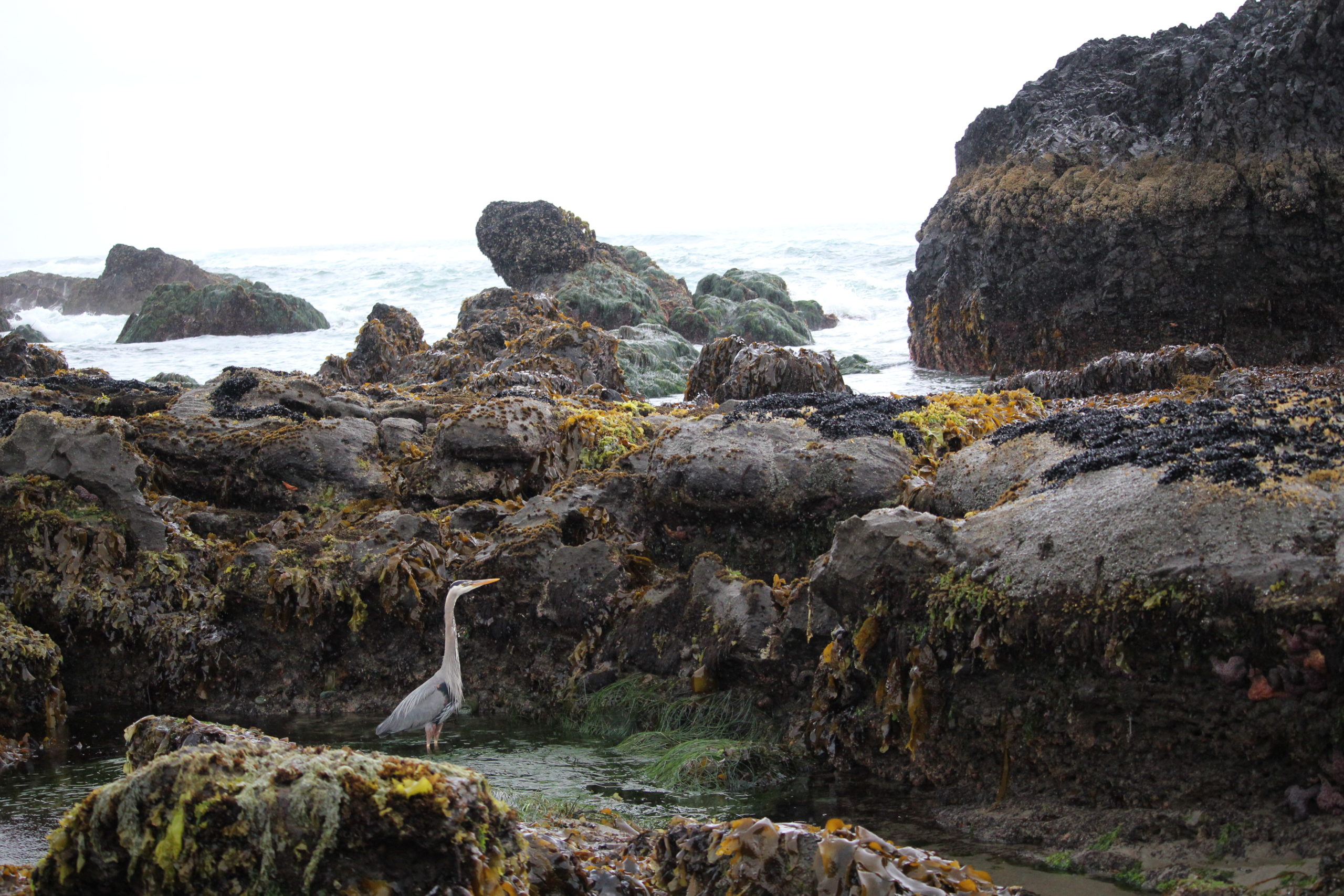
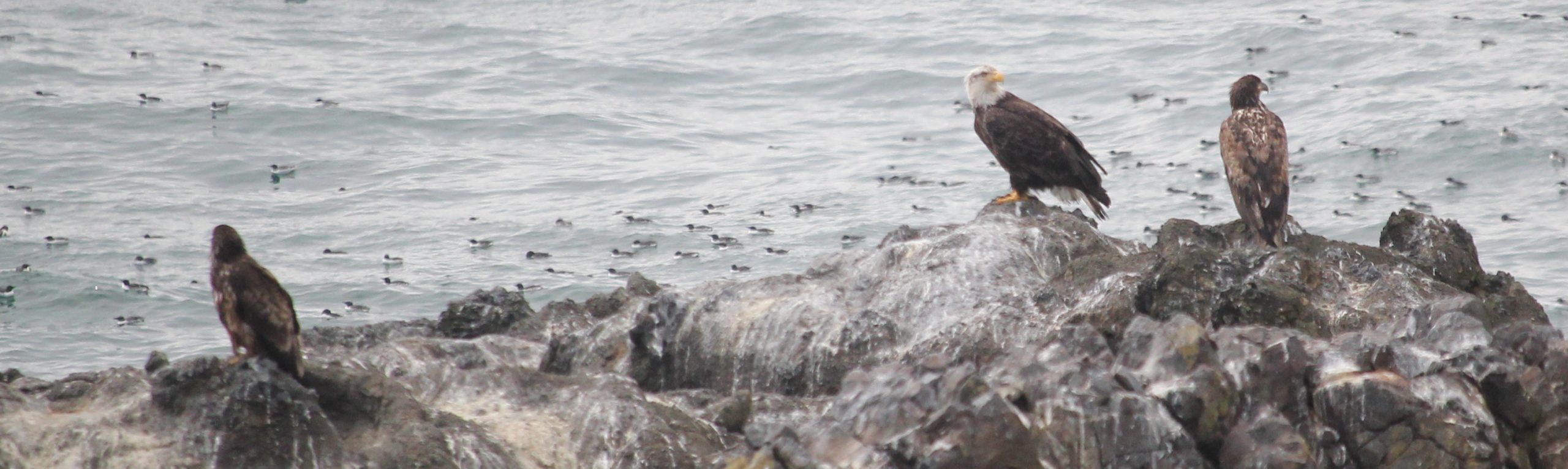
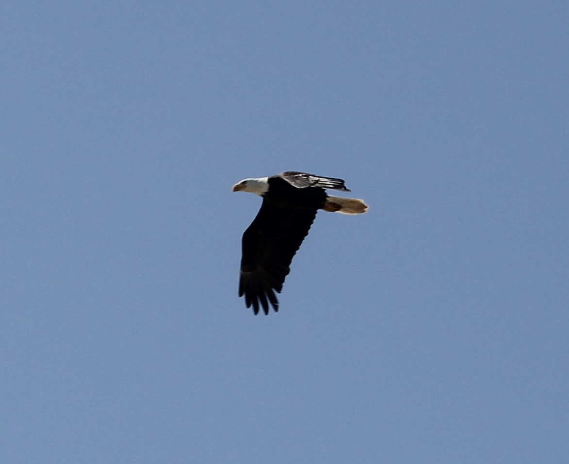
 Trip Report:
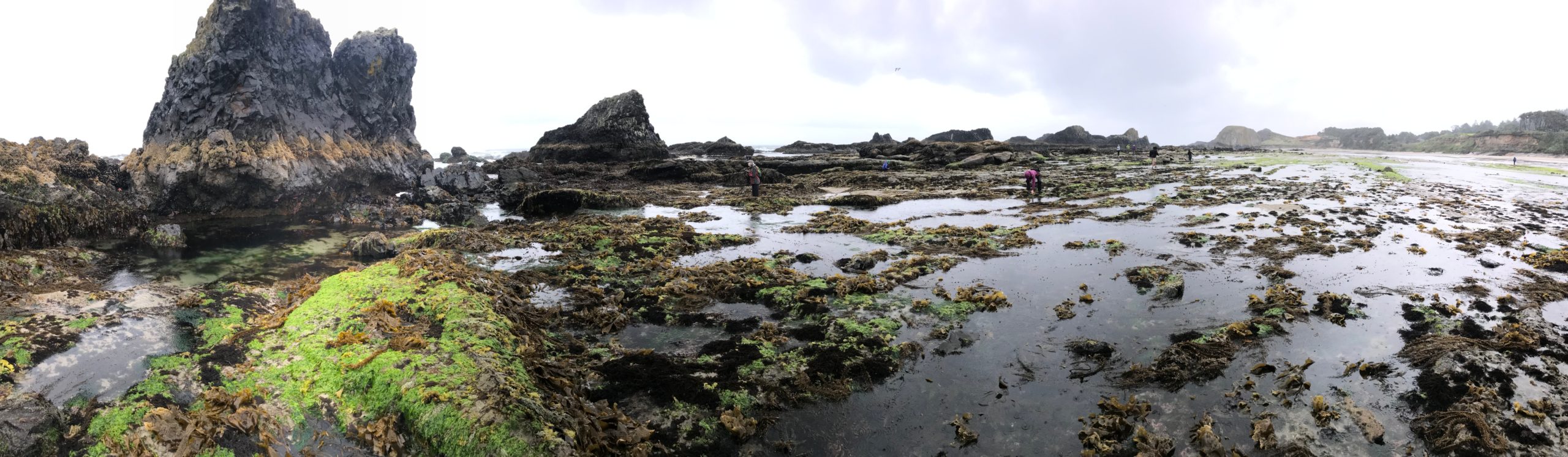
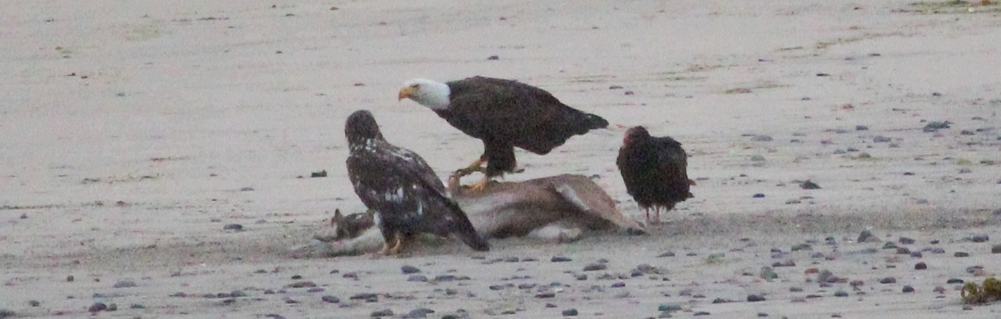
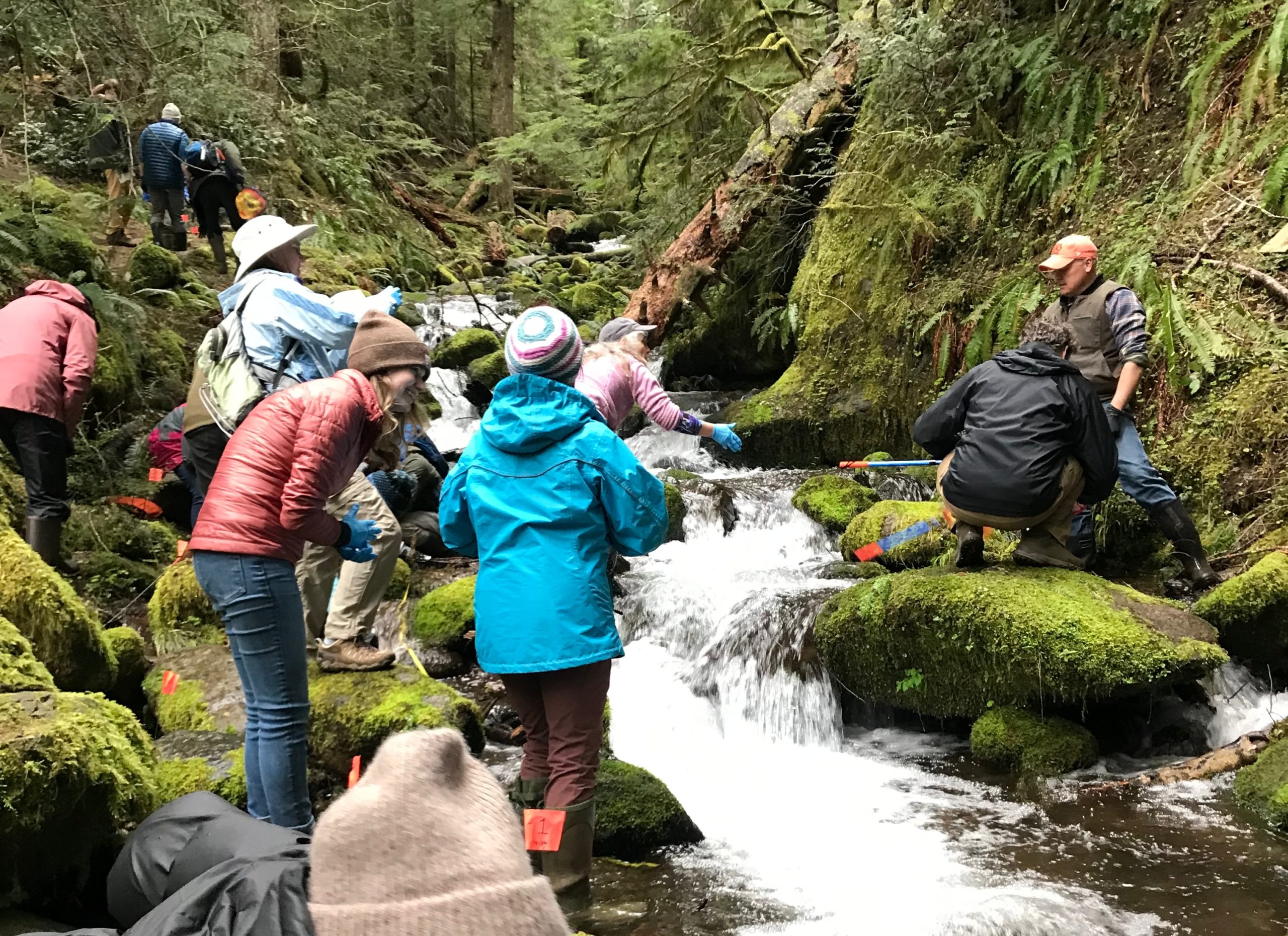
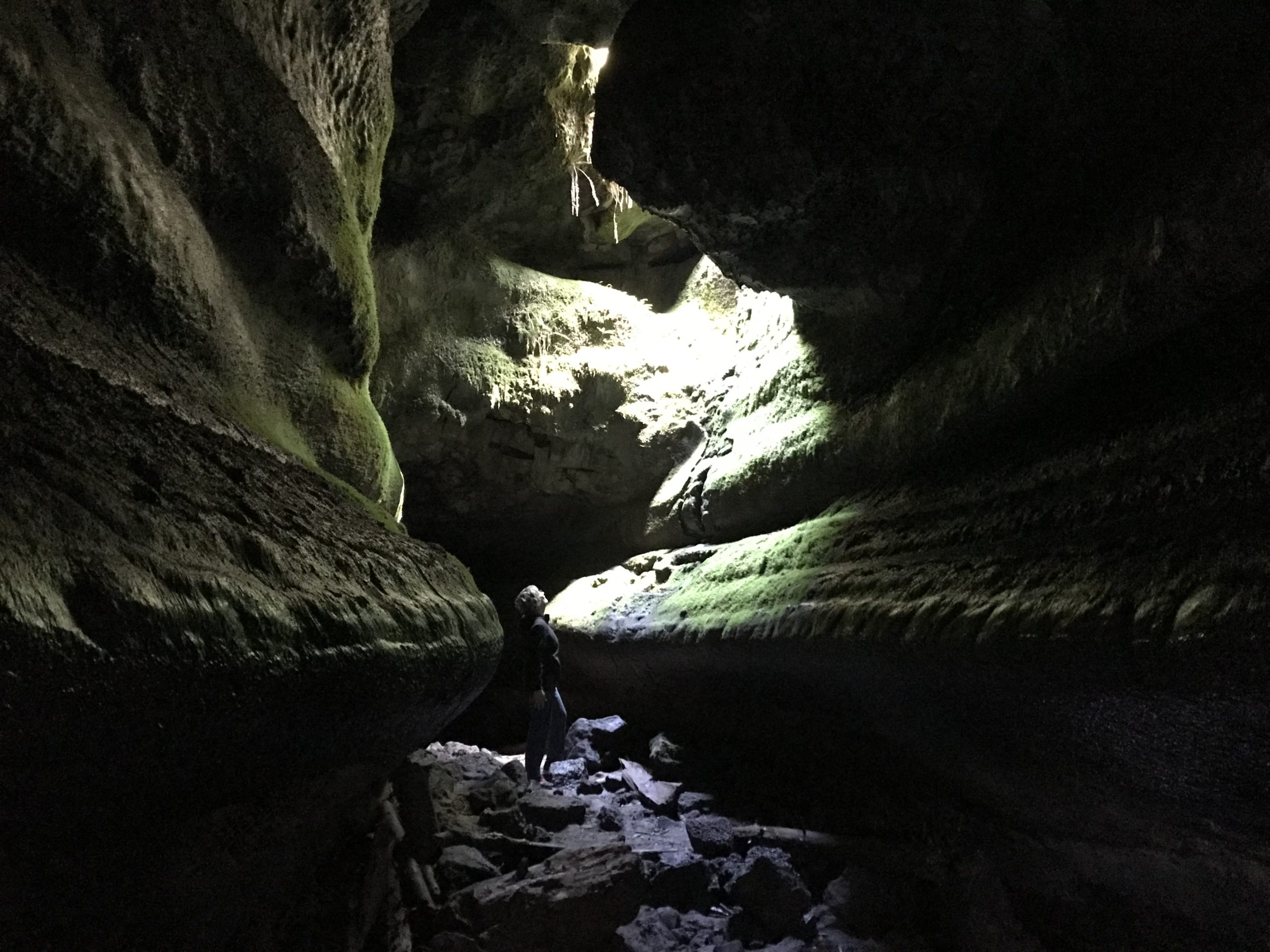
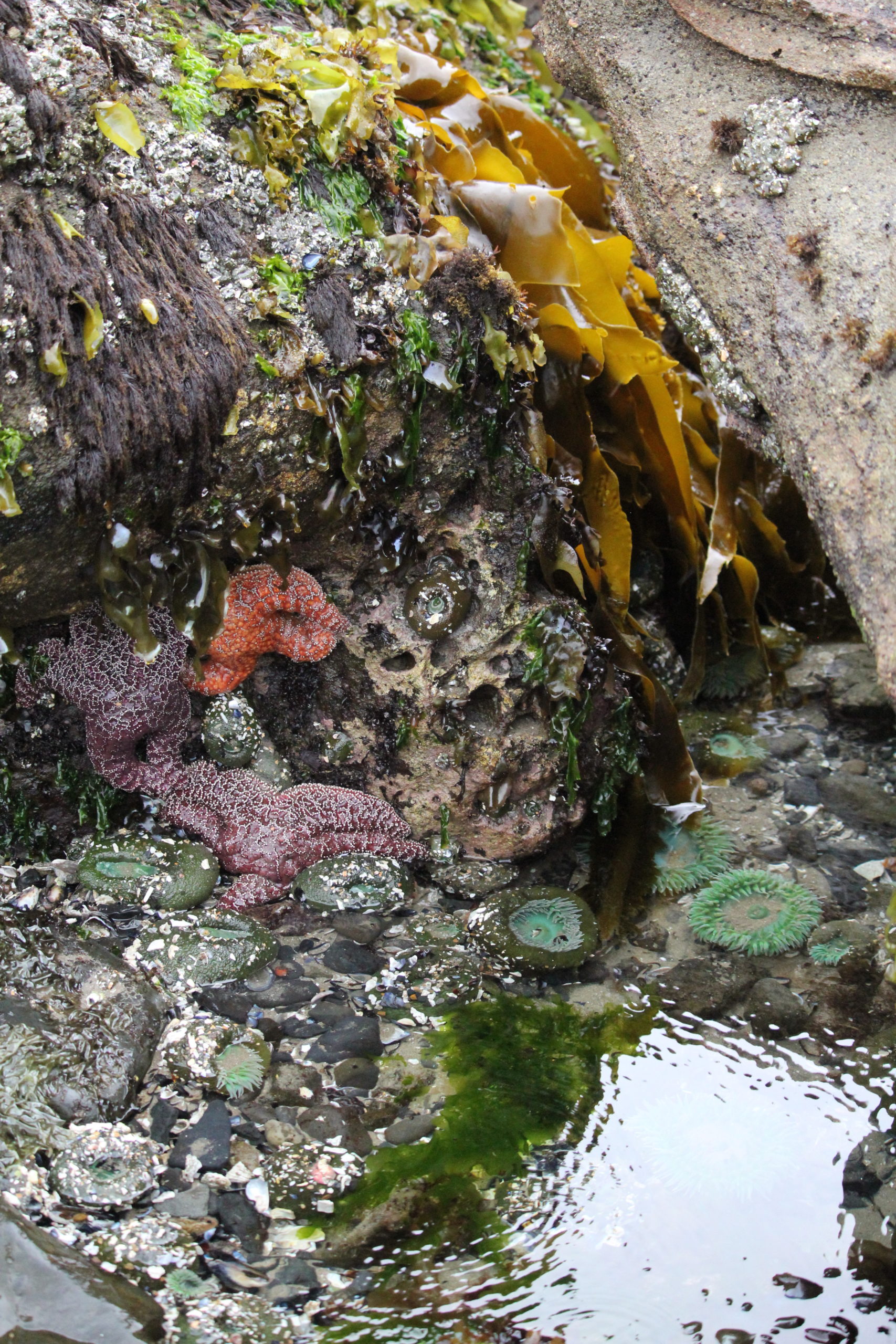
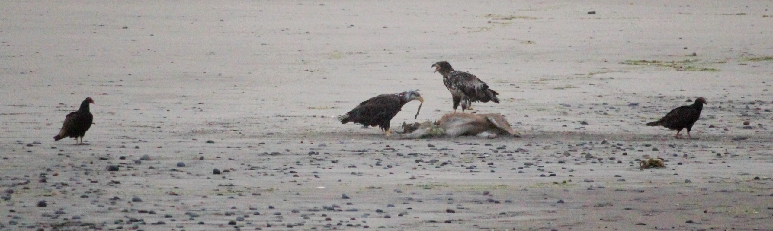
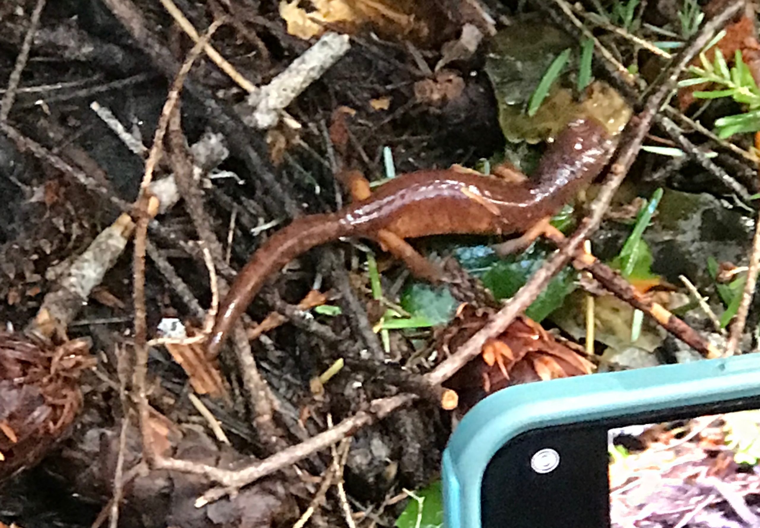
 Trip Report:
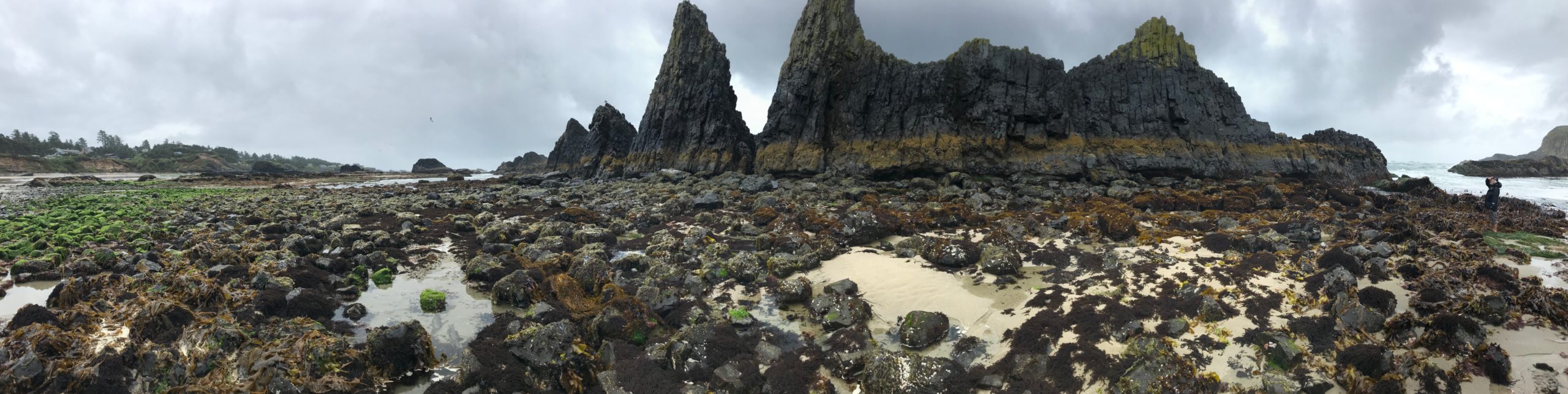
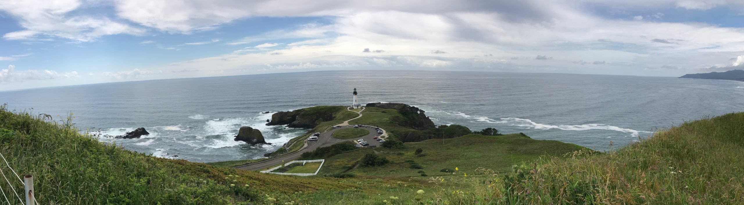
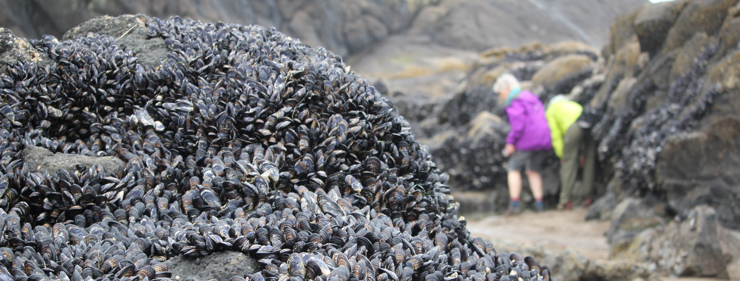
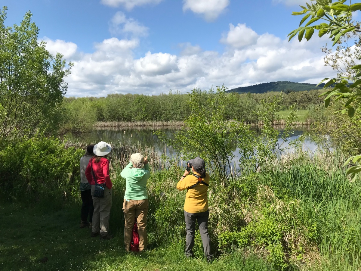
 Trip Report:
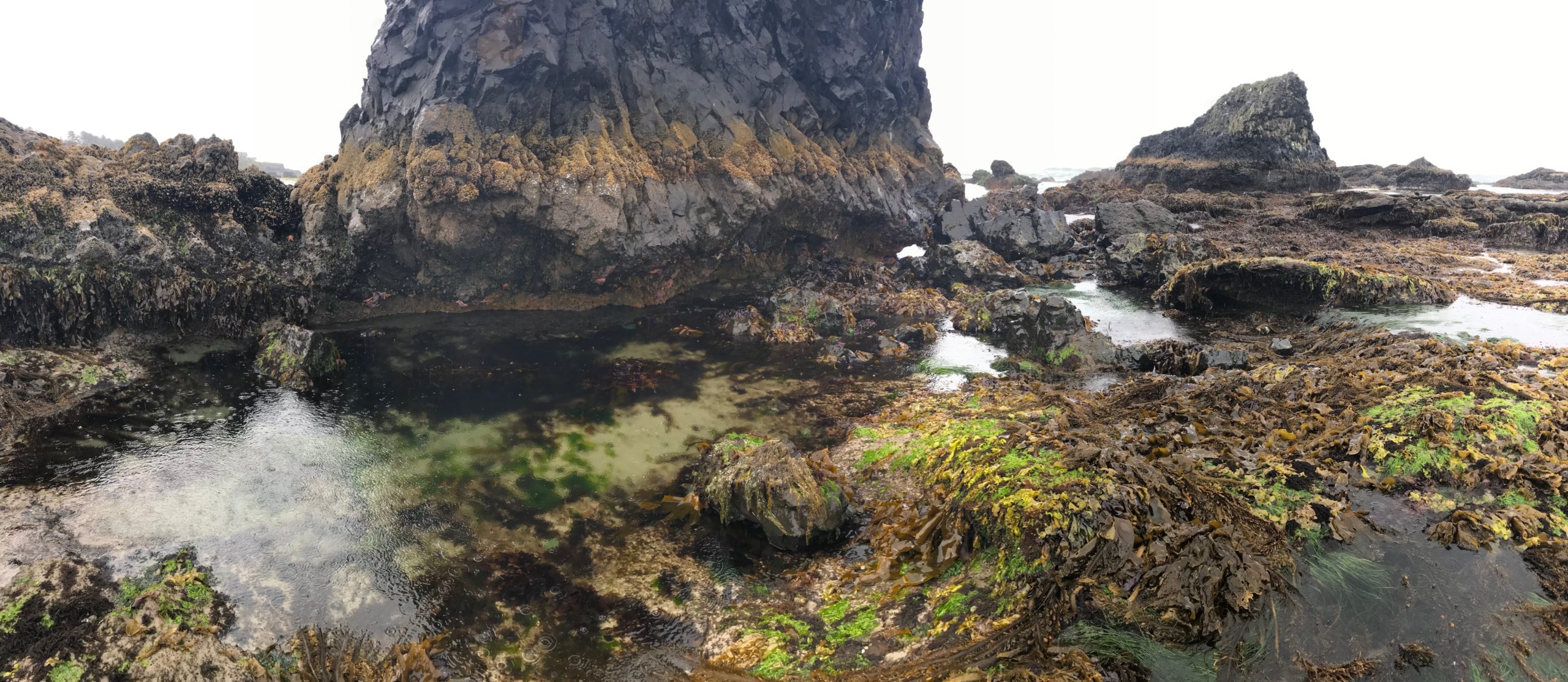


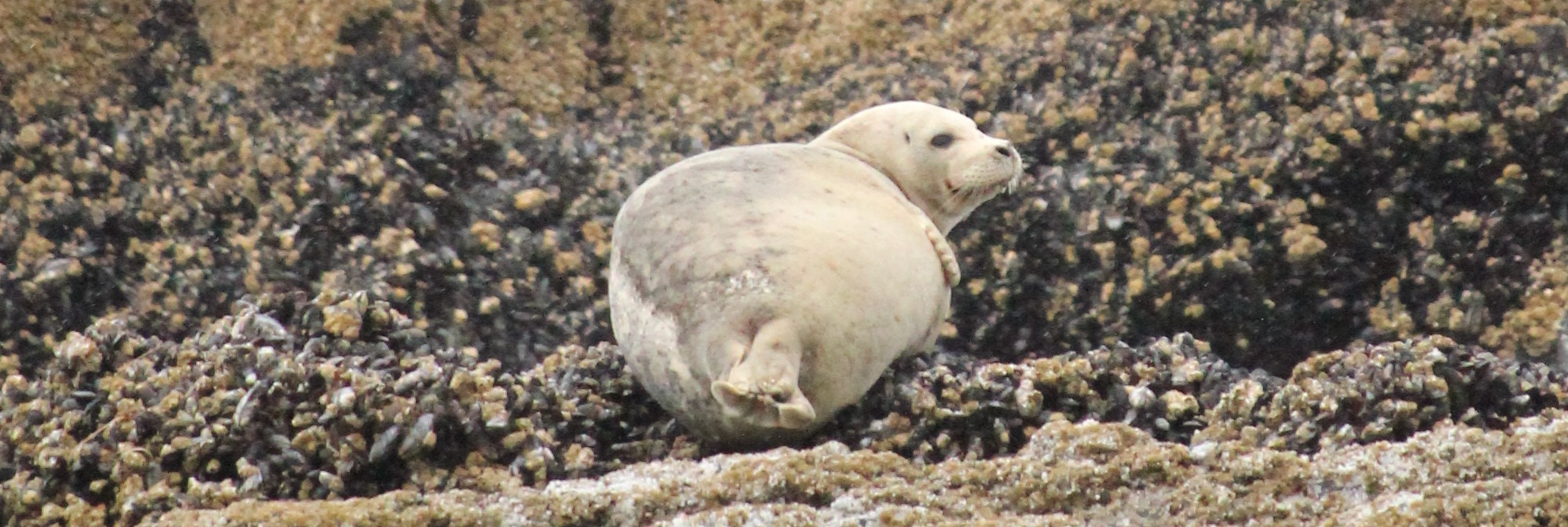
 Trip Report:
 Trip Report:
 Trip Report:
 Trip Report: