
San Francisco is a city born within a moment – the discovery of gold in 1848. The city’s parents were not elites or idealist, but gritty prospectors, sailors, railroad workers, gamblers, ladies of the night, grifters, poets, and carney hustlers. Like then, today’s San Francisco is often idealized as being a place where a person can discover one’s fortune, where an individual can craft their future, and where it’s OK to be weird. But, beneath the sidewalks, unimpressive alleys and among lonely buildings of the original city —the old Barbary Coast— is a hidden San Francisco, a city that was forged in fear, sex, and gold.
Trip Report:
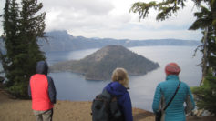
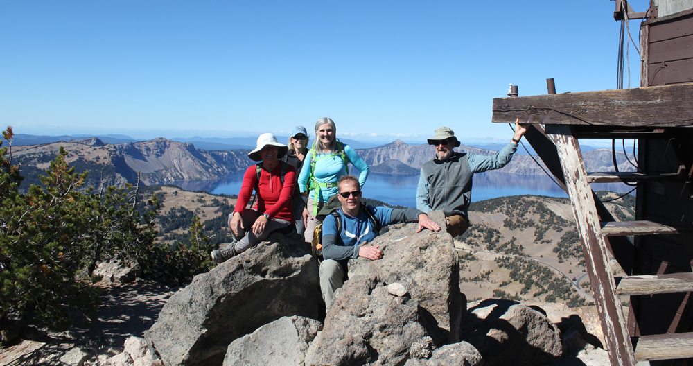
Volunteer Leader: Mark Hougardy | Organization: Eugene-based Hiking Club | Date: November 2018 | Duration: 4 days | Participants: 8 | Type: walking and urban exploration
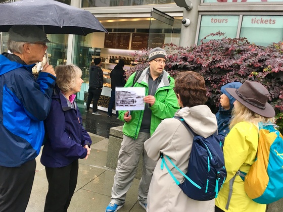
Our interpretive walking trip explored how fear, sex, and gold changed the city in three important ways. We saw how fear directed at those considered “unfit” by society (poor, minorities, and women) reveals they are the true backbone of the city, then how censorship of sex led to modern freedoms, and finally how gold fever changed forms never really disappeared.
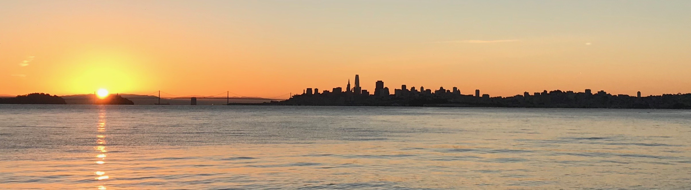
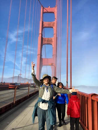
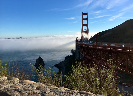
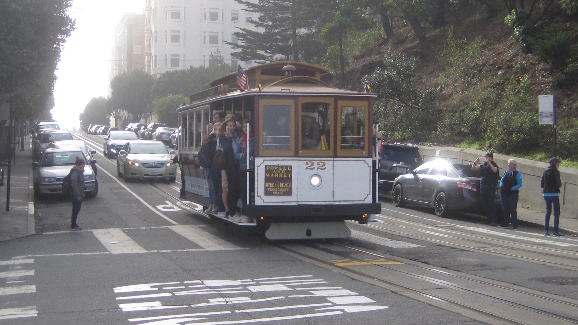
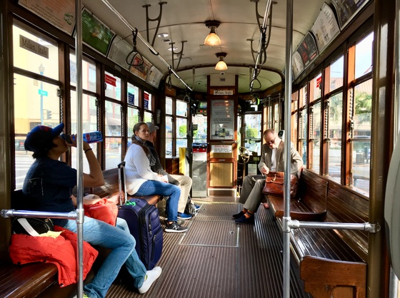
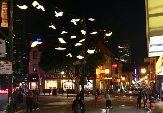
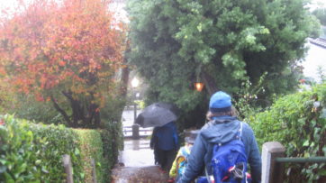
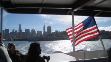
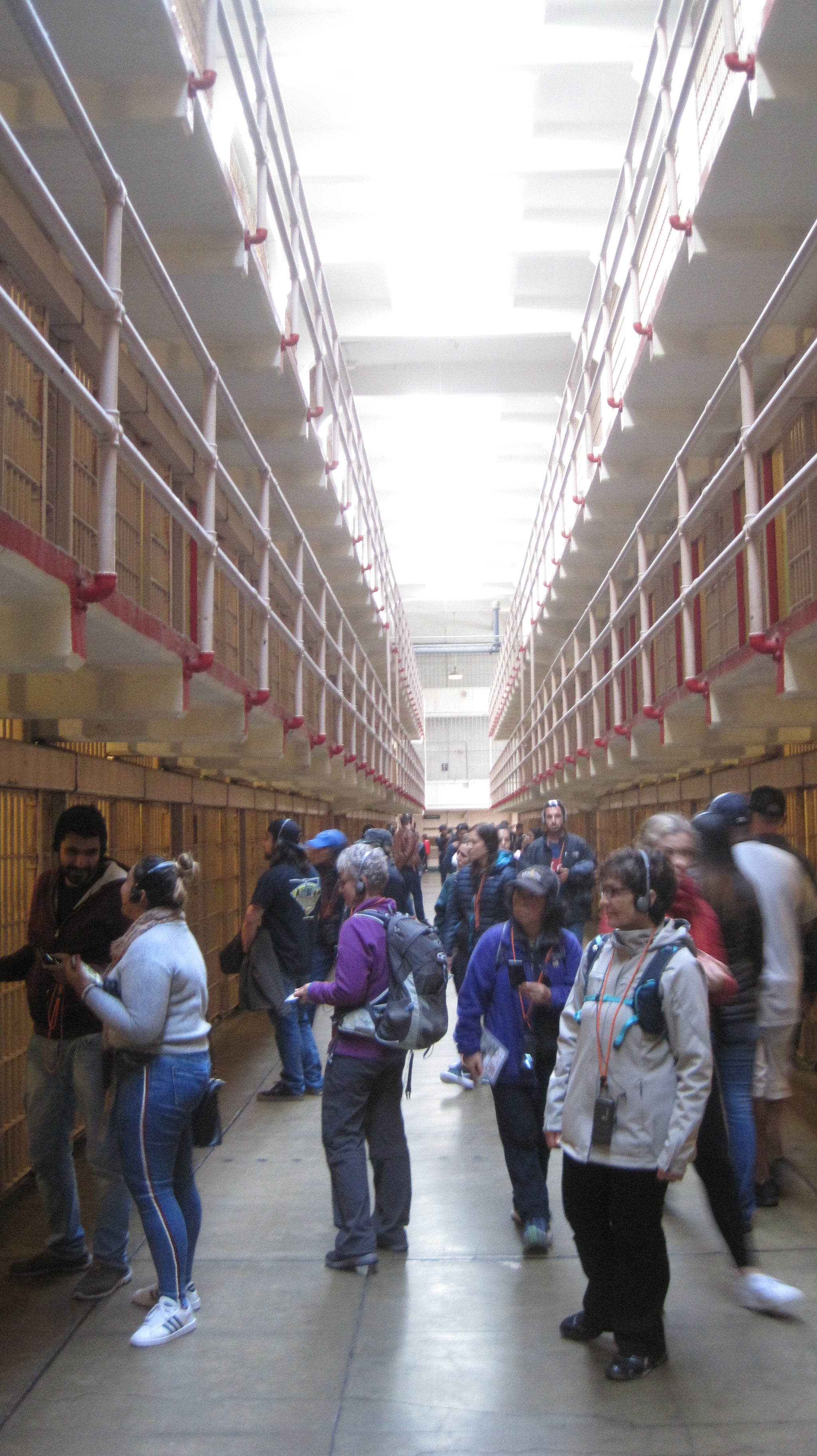
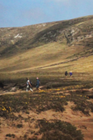
Our group traveled by air from Oregon on Thanksgiving Day to San Francisco. Many of us overnighted at the Fort Mason Hostel and dined at a waterfront restaurant. The next day we traveled by trolley to Union Square and enjoyed the Christmas decorations before starting our 5-mile walk. We explored the sordid history of Maiden Lane, the colorful streets of Chinatown, and the historically depraved area known as the Barbary Coast. Our route followed much of the original shoreline, which is now half a mile inland. We visited City Lights Books and places where the counter-culture Beats hung out. We climbed the steep steps of Telegraph Hill to see the murals of the historic Coit Tower. Our walk took us along garden-lined staircases and alleys. The next day we traveled to the lonely island of Alcatraz to learn more about its prison then enjoyed an afternoon exploring the city. That evening the group enjoyed a salty performance of Beach Blanket Babylon. On the final full day, several members walked ten-miles from the Marina District over the Golden Gate Bridge to Sausalito and returned by ferry. The group walked ~20 miles in total. The group returned by plane to Oregon. Photos by Mark Hougardy & Meg Stewart Smith.


 Â
  Â
 

 Â
  Â


 Â
 
 Trip Report: Organization: GlyphGuy Adventure Travel
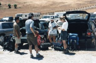


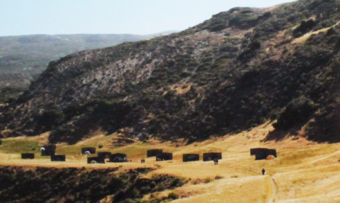
 Today, Silicon Valley is home to cutting-edge technology, but just a few short decades ago this land was covered by a stretch of orchards twenty miles wide. Join us as we help celebrate this heritage at the 100-year anniversary of Olson’s Cherry Farm in Sunnyvale, California. Olson’s’ is unique is that it is one of the last remaining farms in the south bay.
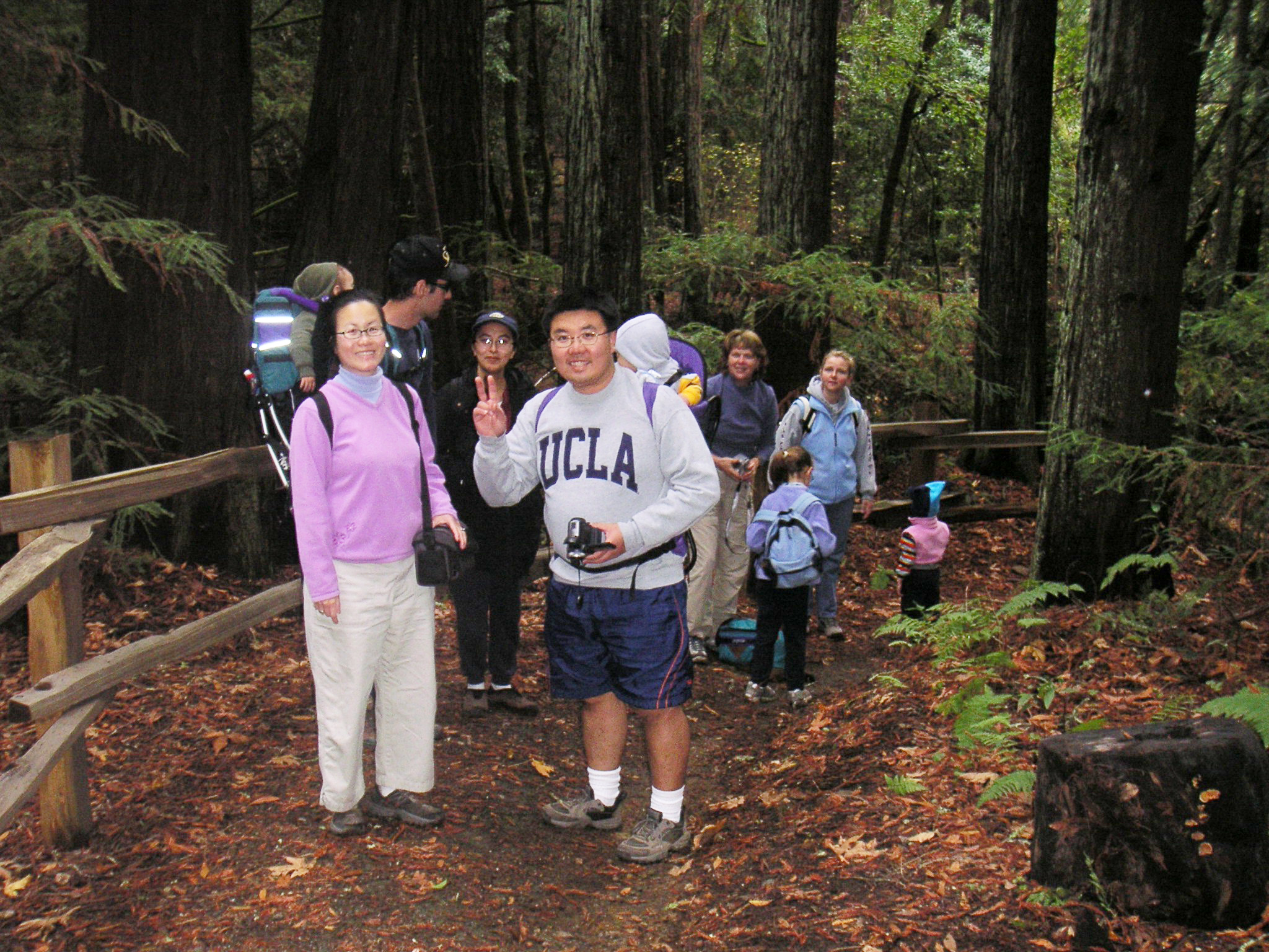
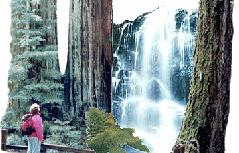 Let’s spend a day walking among giants!
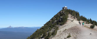
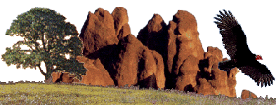 Pinnacles National Monument is a dry terrain capped with disfigured spires that reach into the sky. In the springtime, Pinnacles National Monument brings temperate weather, colorful blooms, flowing streams and abundant wildlife.
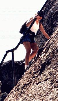 ed for any kind of weather.
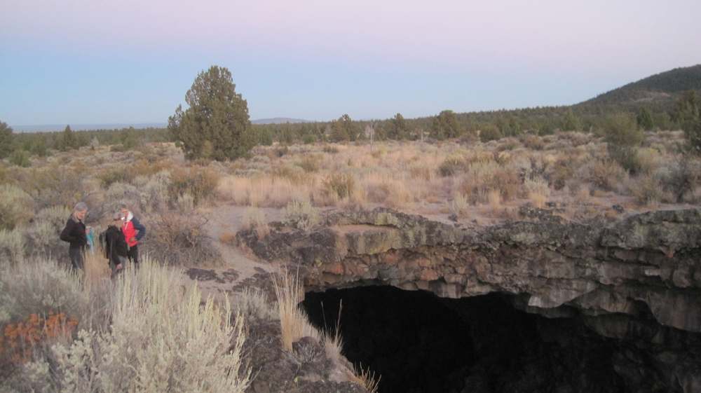
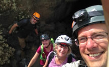
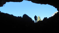
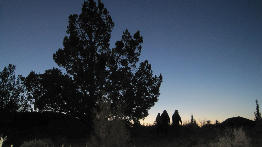
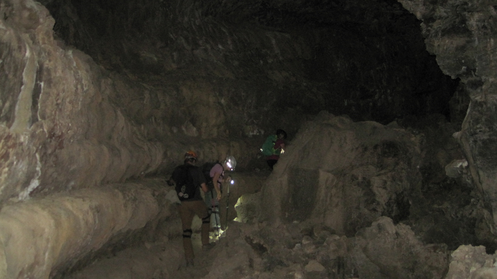
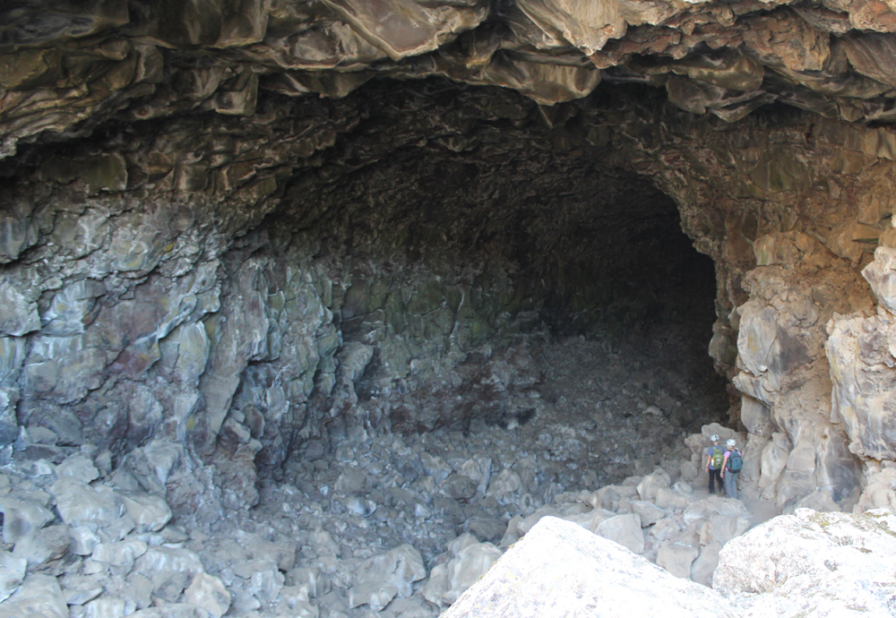
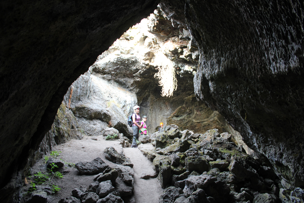
 Sunday we pack our tents and clean our campsite before hiking the Old Pinnacles Trail. This is a rocky, yet relatively easy hike to the base of some spectacular spires – a short distance beyond lie the quarter of a mile long, Balconies Cave. The cave is dark and will require flashlights. After the cave, the trail ascends to the Balconies Cliff Trail (.8 mile) with imposing views of Machete Ridge and Balconies which are sometimes called, “Little Yosemite.” Look for prairie falcons and golden eagles. The path returns to the Old Pinnacles Trail and a gentle descent to the parking area. We’ll depart in the afternoon at about 2 pm with plenty of light for a safe drive back to the South Bay.
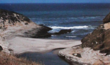
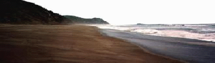
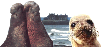 In the mid-1800s Elephant Seals were hunted for their oily blubber to light the lamps of San Francisco. But, within a few short decades, they were gone and thought to be extinct. Thanks to modern protections a small population has returned from the edge of extinction to reclaim their former territory on the California coast. In the wintertime at Año Nuevo hundreds of seals, from newborns, pregnant females and gigantic males congregate and we get to see them up close.
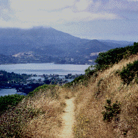 Join us on the last day of Spring as we depart on the Tiburon Ferry to explore the beautiful and historic Angel Island, State Park. Bring a day pack with foods for a picnic atop Mount Livermore which offers breathtaking 360-degree views of the Bay. Be prepared for 5+ miles of hiking on this all-day trip. Meet at the Ferry Terminal in Tiburon to depart on the 10:00 am ferry. Expect two-hour drive from the south bay. Directions: Past the Golden Gate Bridge, drive 101 north, take the Tiburon exit (Hwy-131) and drive 10 minutes. Look for the $5.00 a day parking area located next to Library and Home Savings Bank on left. Walk several blocks to the STOP sign, the ferry is on left.
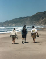
 The summer at Sanborn provides opportunities to meet others from distant lands and explore the abundant areas around the hostel. On Saturday morning we depart for Ano Nuevo State Reserve to hike among the dunes and view the massive bull Elephant Seals. Some bulls can be up to 16 feet in length! The afternoon will be spent beachcombing and exploring the coastline. In the evening we return to Sanborn Park Hostel for grilling your favorite food on the bbq, meeting new folks, sitting around the fire, watching deer in a nearby field, and telling stories. Creative thoughts and those young at heart are welcome. We overnight at the hostel. On Sunday, we head to Big Basin Redwoods State Park to hike the 10 mile Berry Creek Falls Loop. This loop includes the remarkable Golden Falls, Silver Falls and the 65 foot Berry Creek Falls. All trips depart from the hostel at 9:00 am. Overnight reservations recommend fee per person is $8.50.
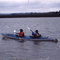 Join us on Saturday, June 6 as we discover the abundance of Elkhorn Slough. We’ll view migratory waterfowl, shorebirds, harbor seals and possibly rafts of sea otters. Elkhorn Slough is unique because it is one of the few relatively undisturbed coastal wetlands remaining in California. The slough extends about six miles inland and consists of some 2,500 acres. The trip lasts 5 hours. Reservations required.