Trip Report:
Group Leader: Mark Hougardy | Organization: Eugene-based hiking group | Date: mid-June 2022 | Duration: 3 days | Hiking Distance: 7 miles | Participants: 8 | Type: Hiking & Tent Camping
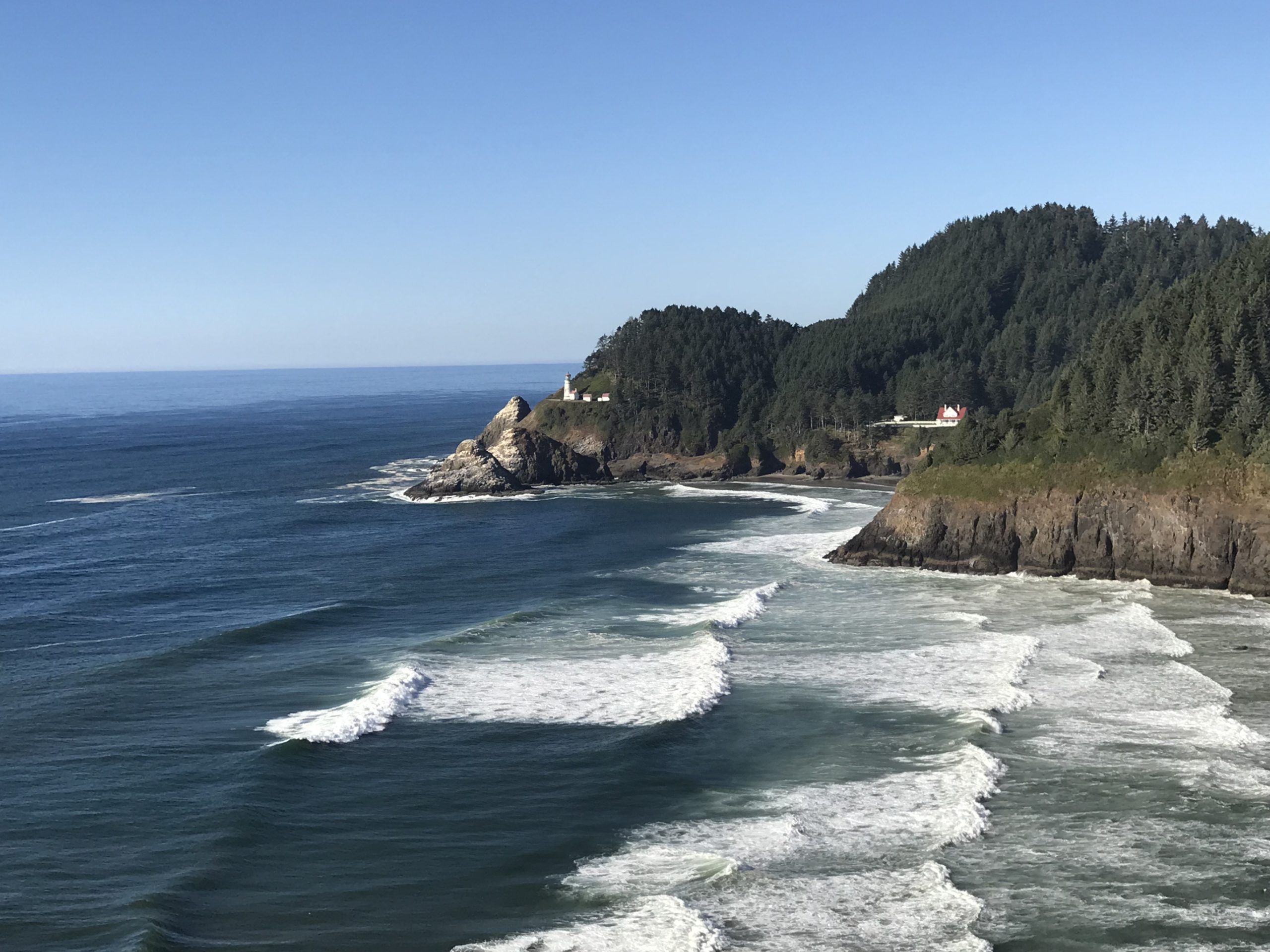
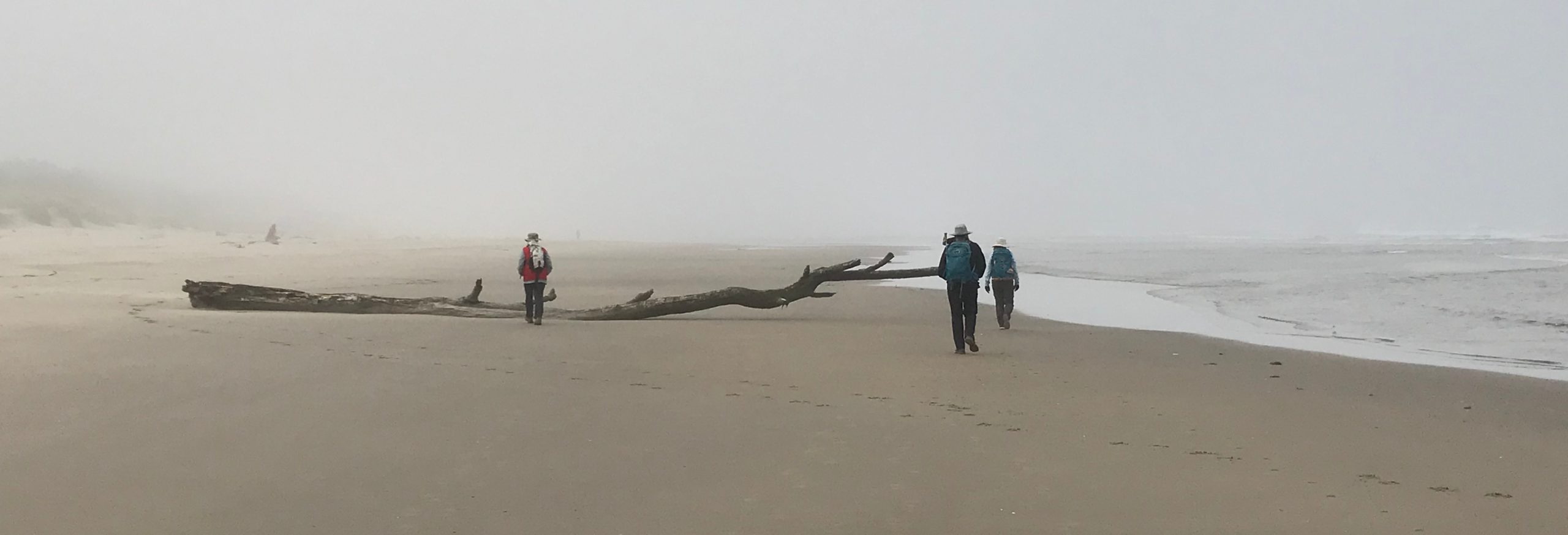
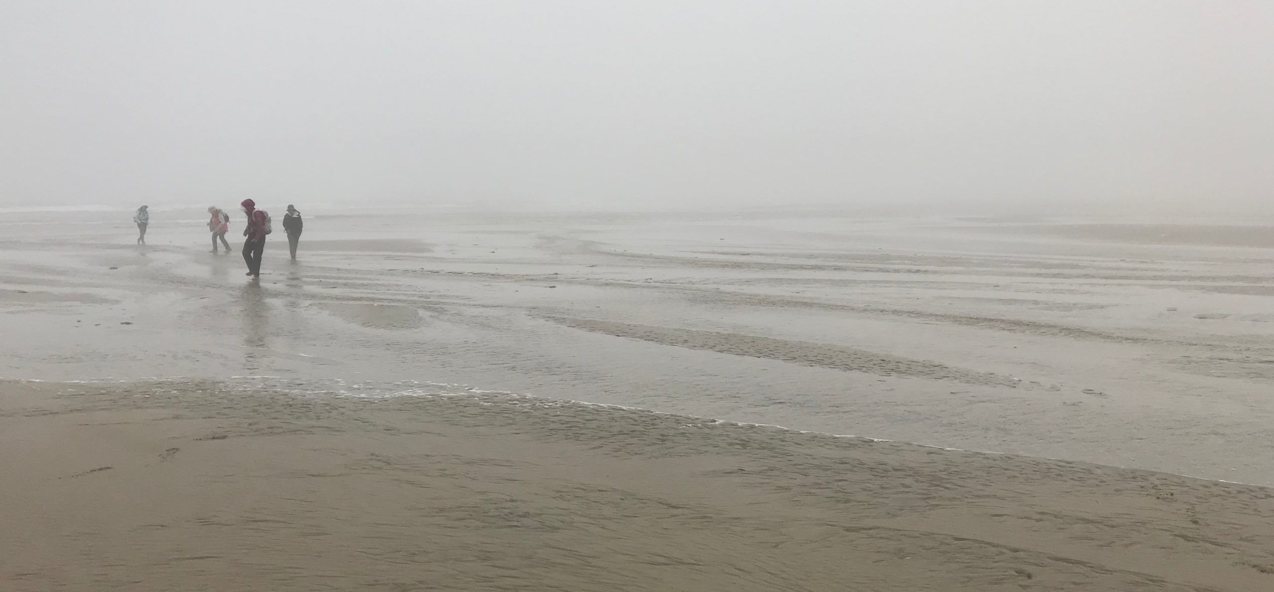
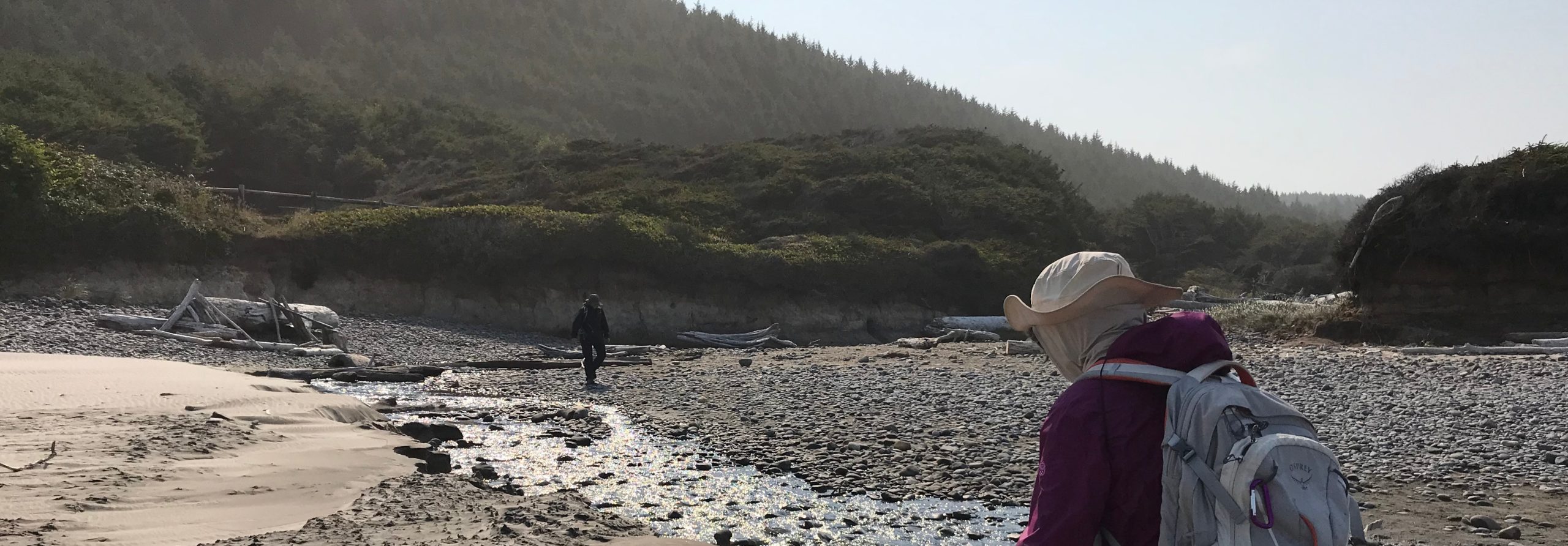
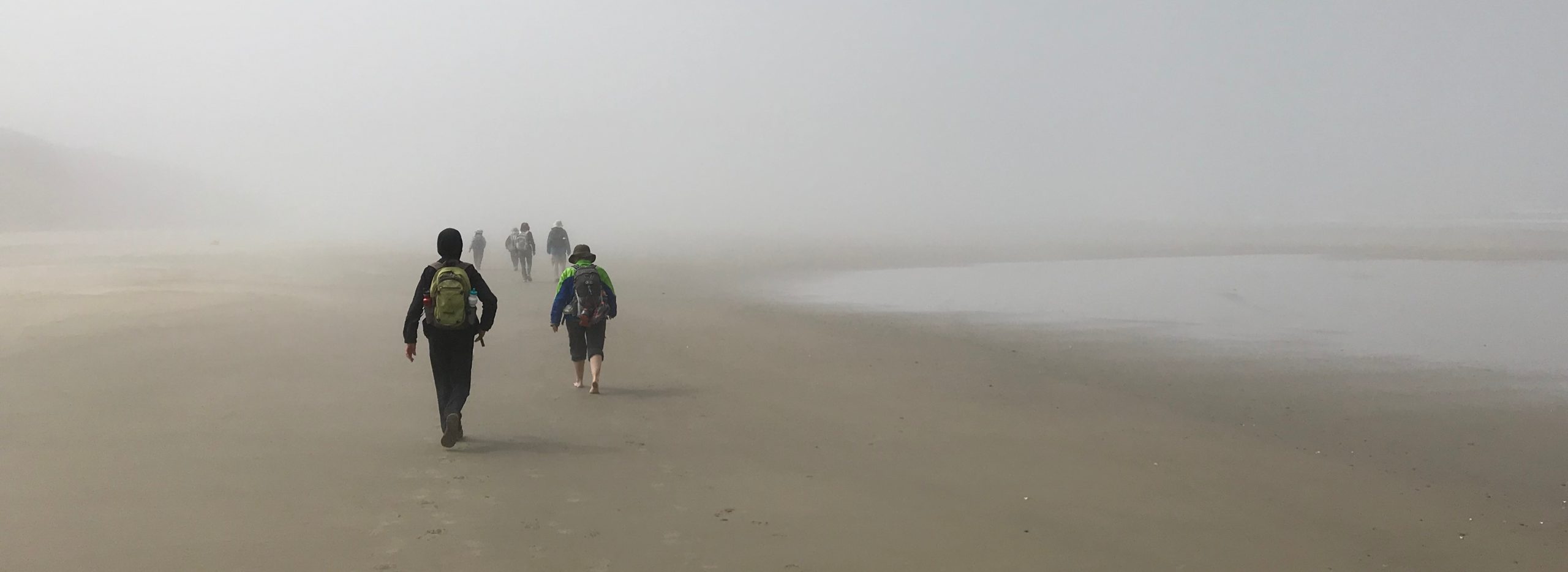
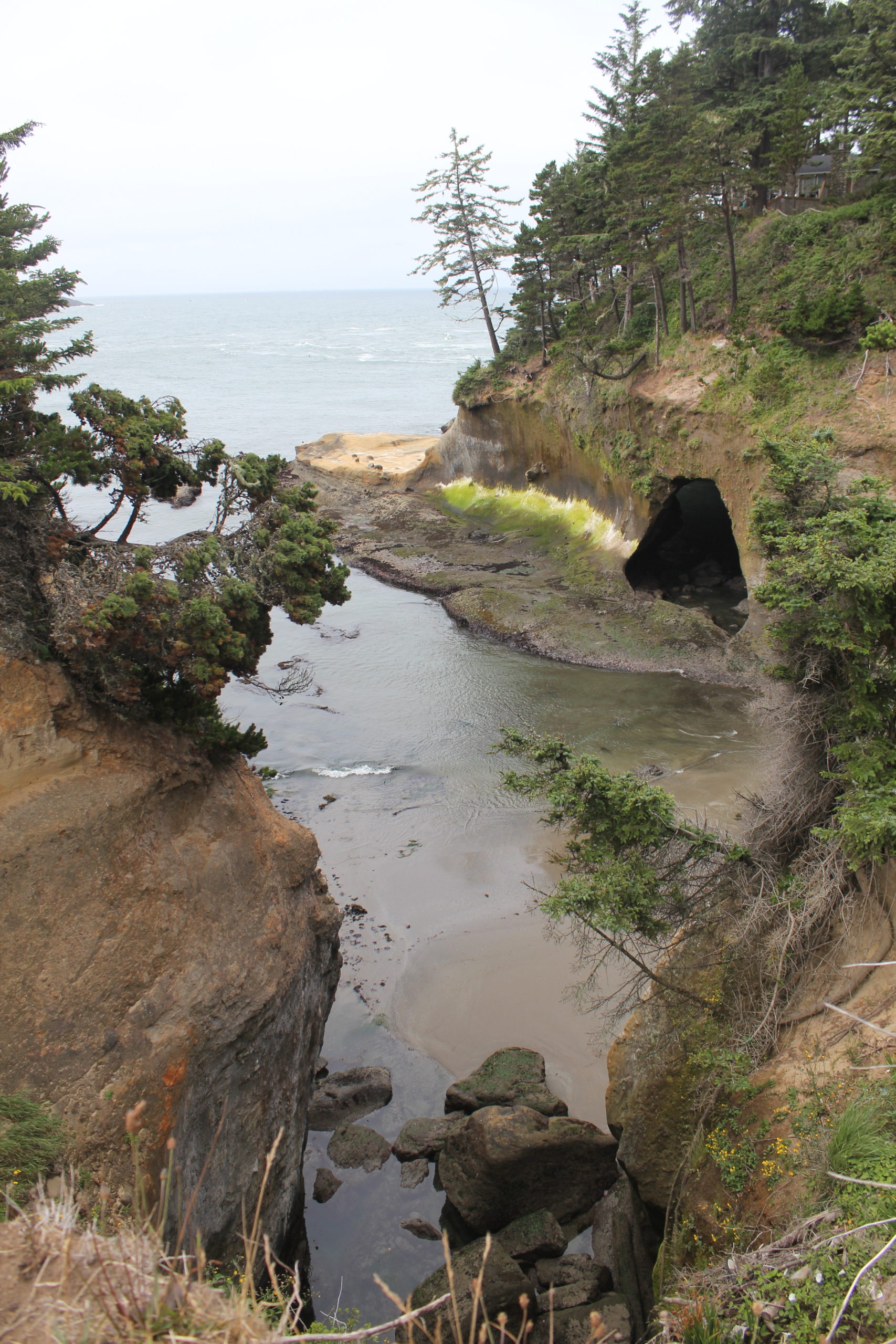
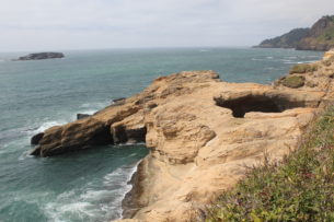
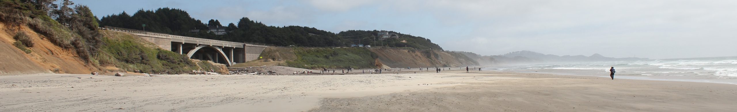
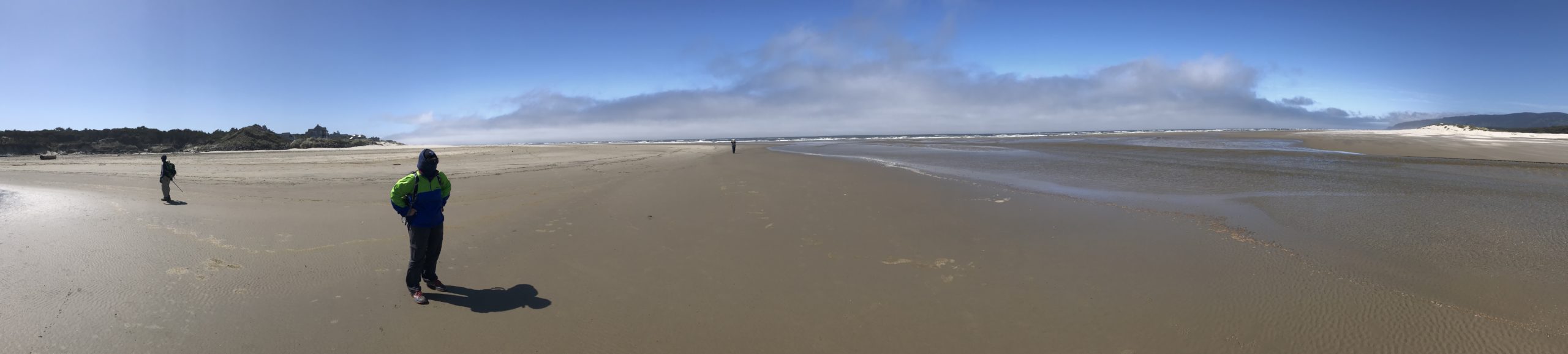
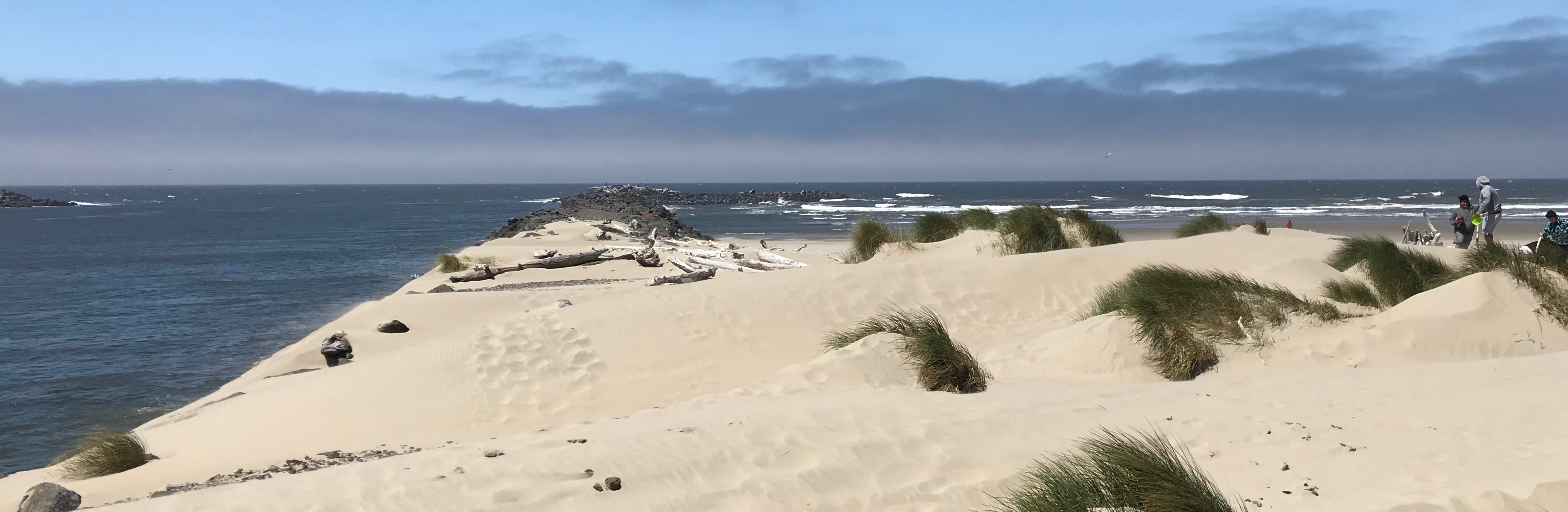
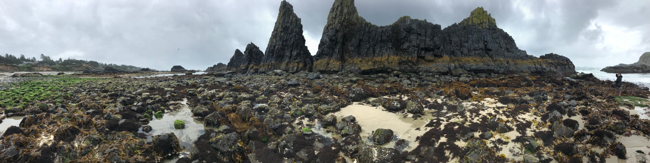
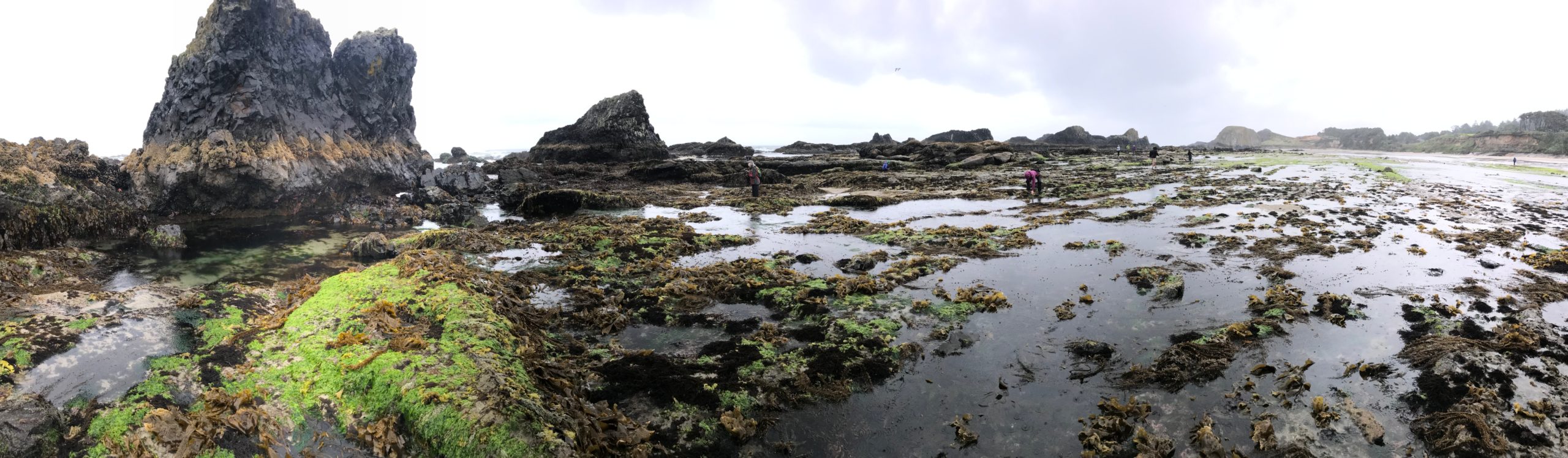
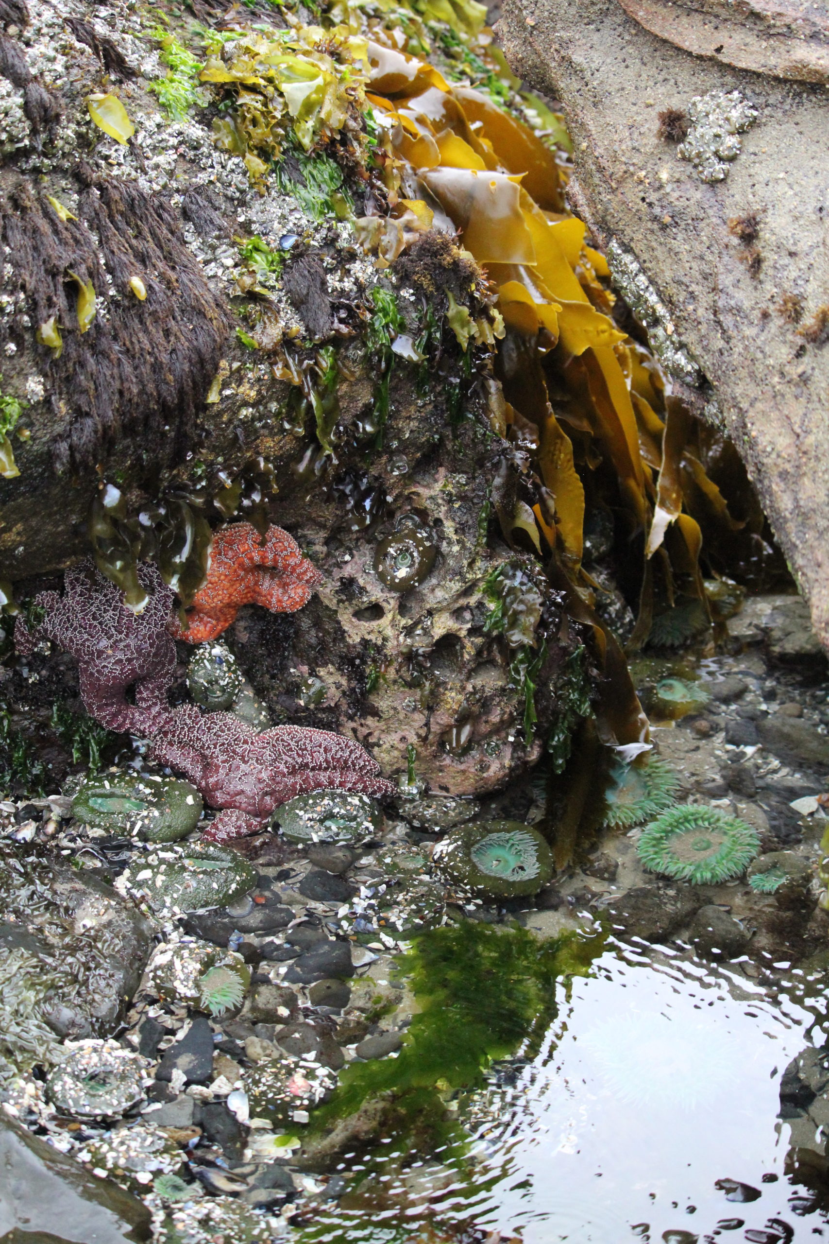
The low tide zone is always covered, except for a few times a year during the lowest tides. It was during one such minus low tide that 8 of us ventured to an area along Oregon’s central coast to explore tide pools during an impressive -2.4 feet (-73 cm) low tide!
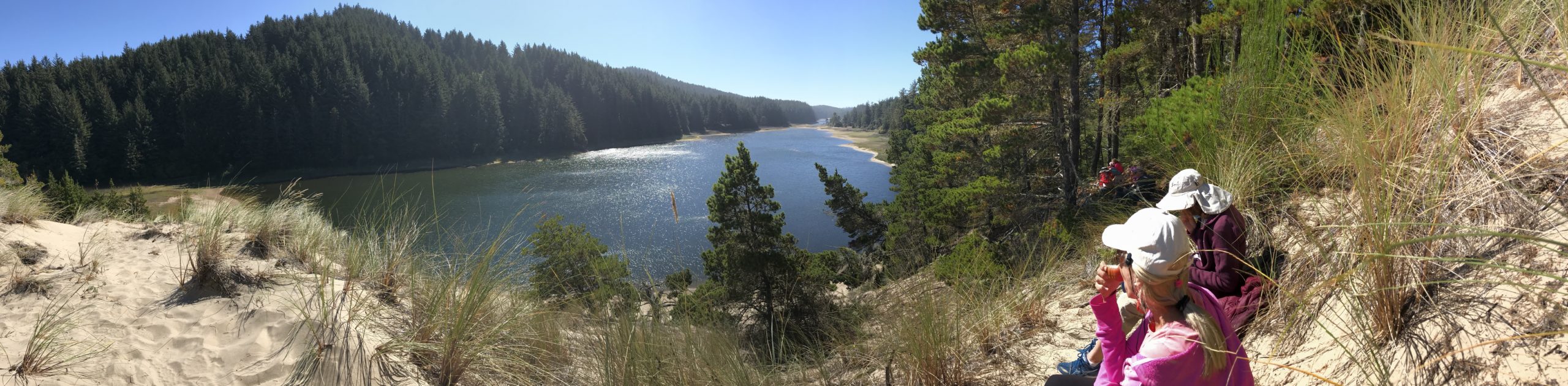
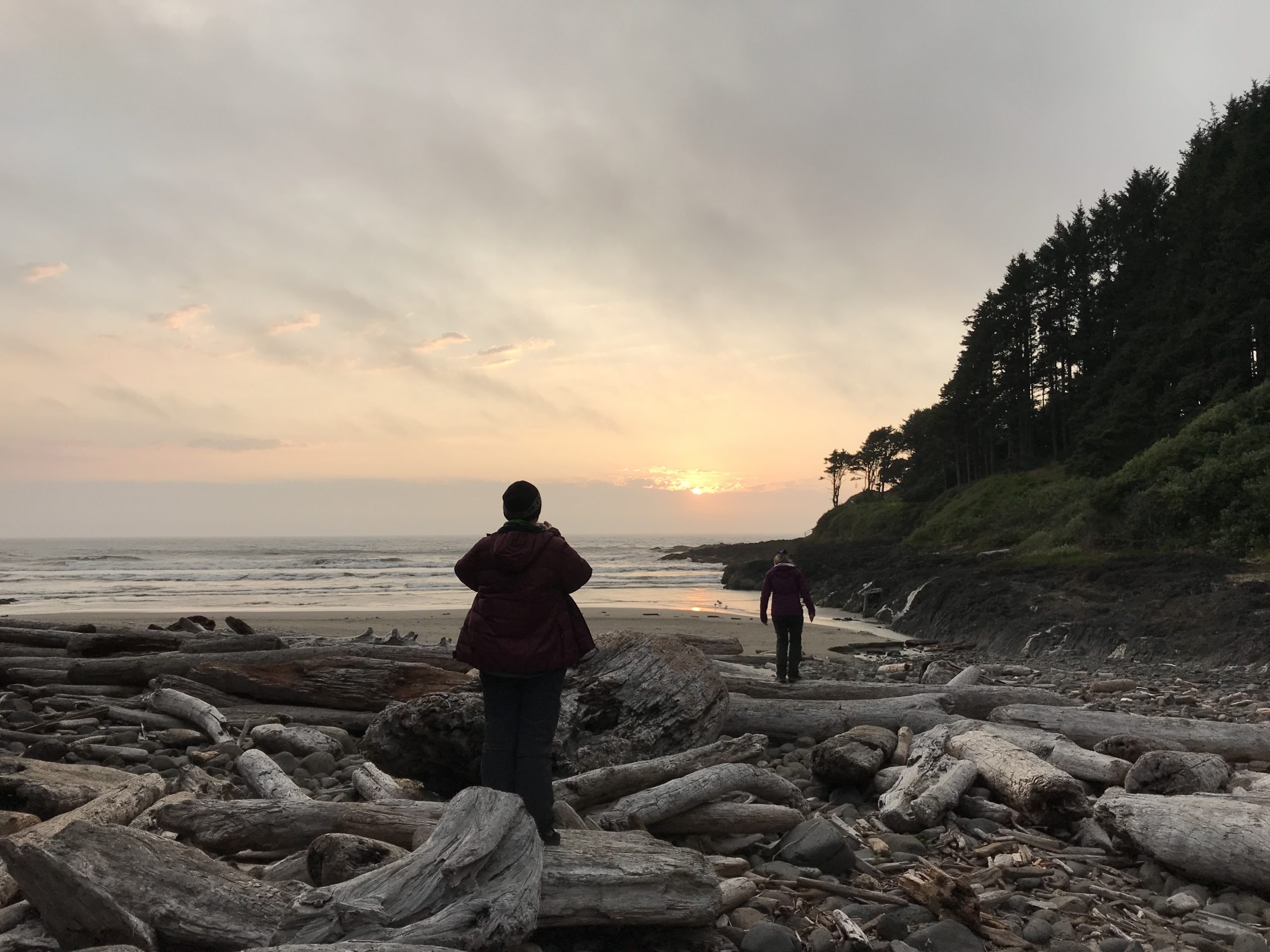
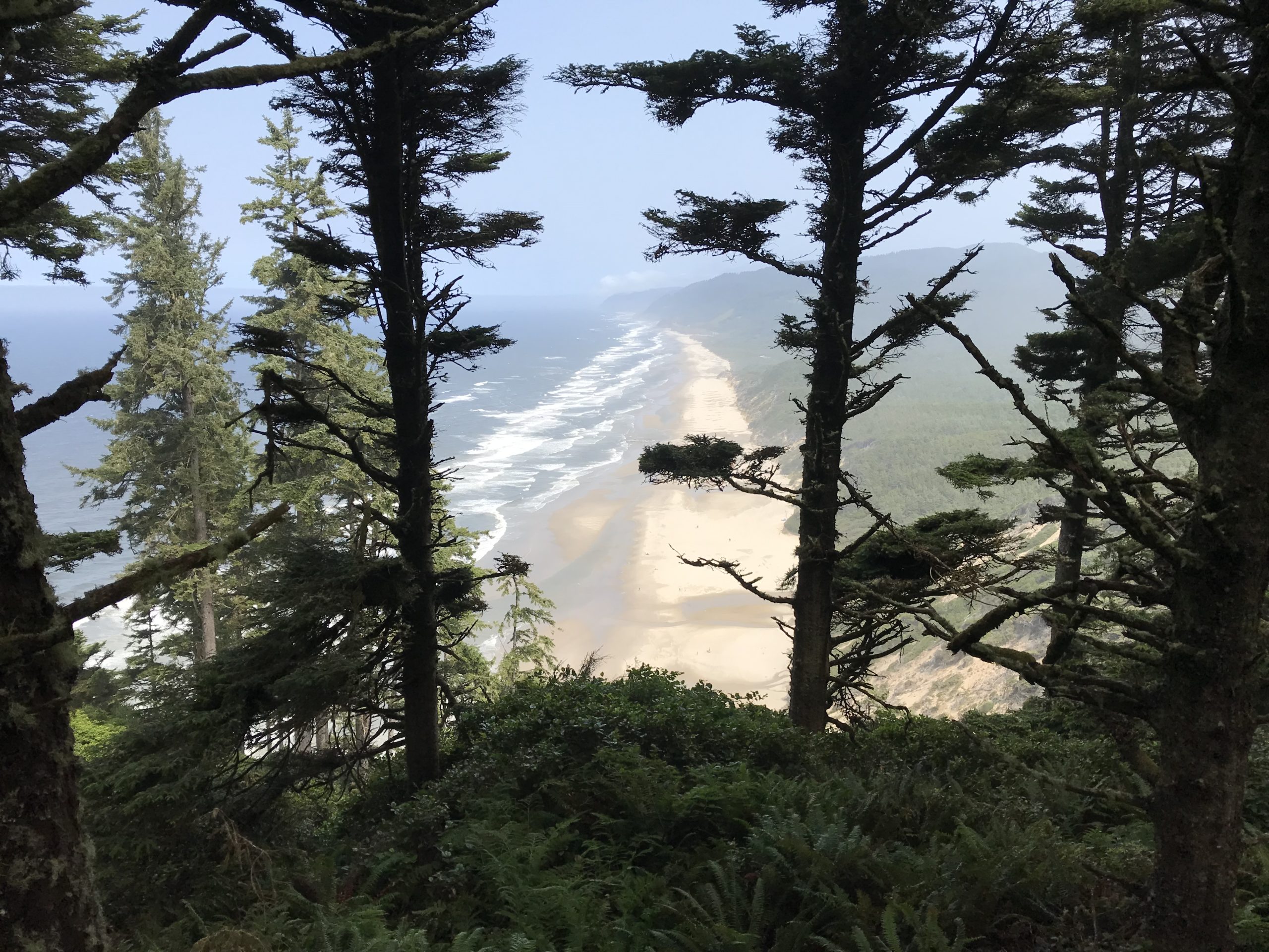
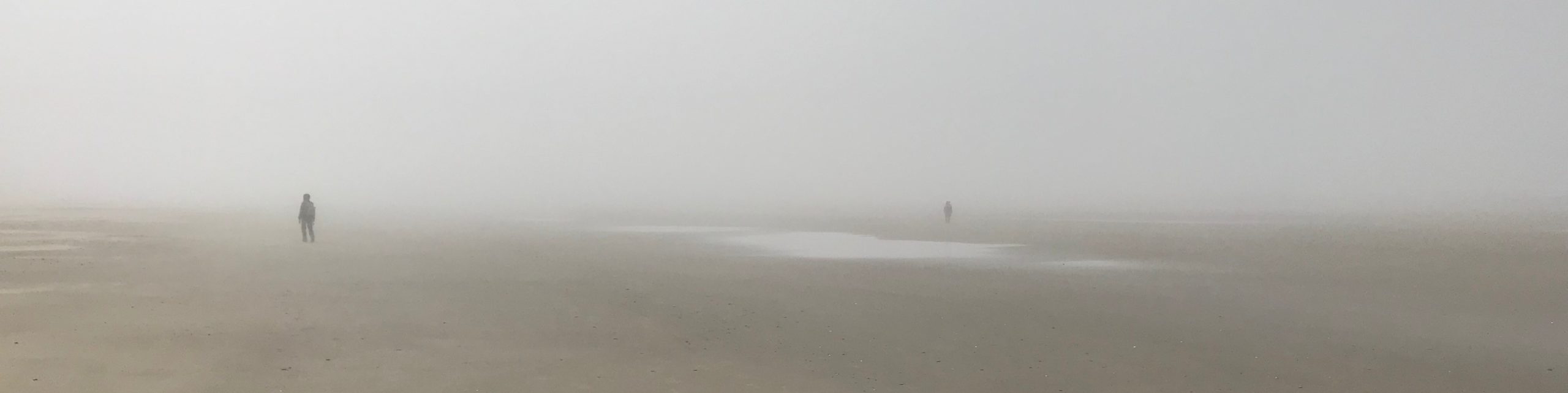
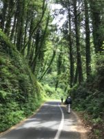
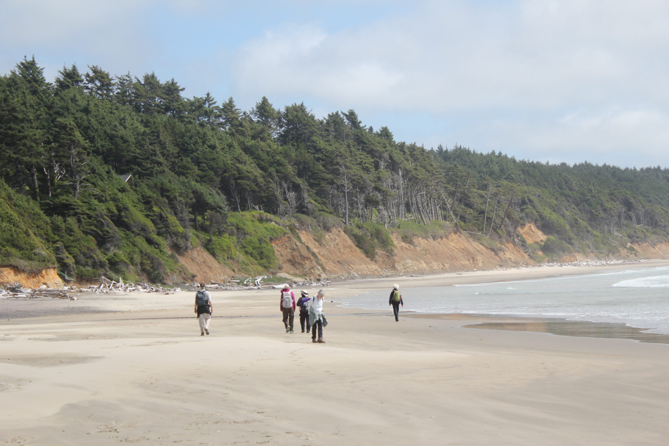
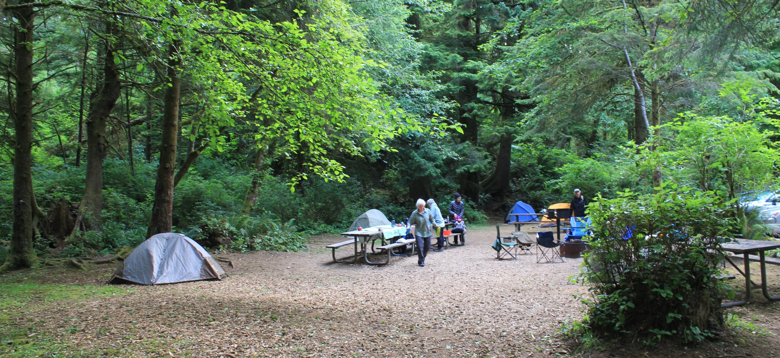
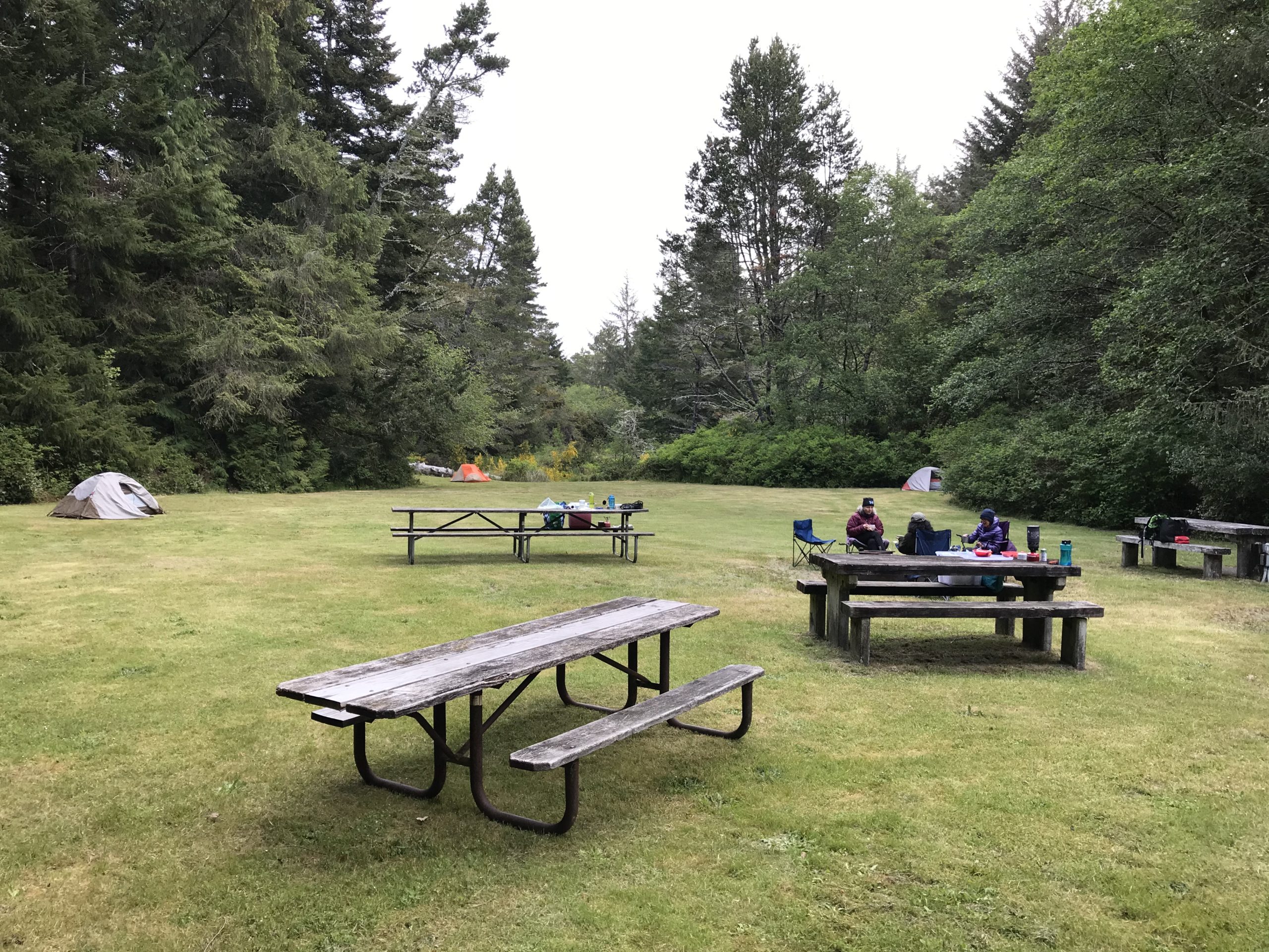
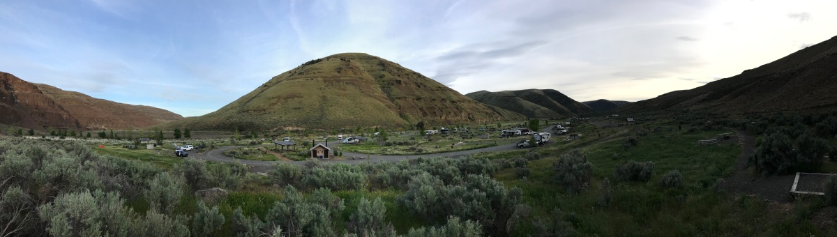
Day 1: Our group arrived on their schedule at one of the nearby Oregon State Park group camps. That afternoon and evening were open for beach walking, exploring on your own, or watching the sunset. In the evening, everyone enjoyed a campfire and discussed plans for the next day. It was interesting that one topic of conversation that arose was the book, “Braiding Sweetgrass.” Of the 8 participants, more than half had read the book, one was in the process of reading, and the others were interested. At 10 pm a gentle rain started and continued through to the morning.
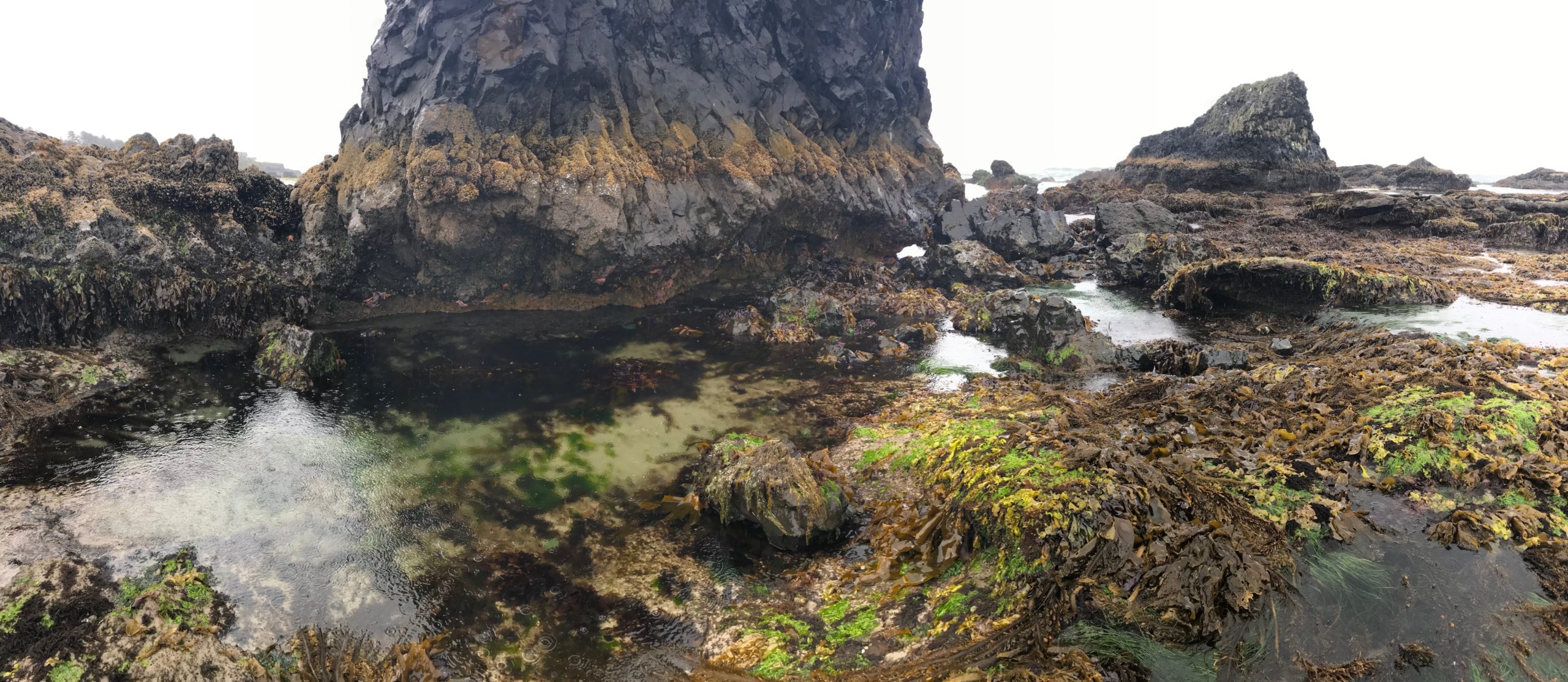
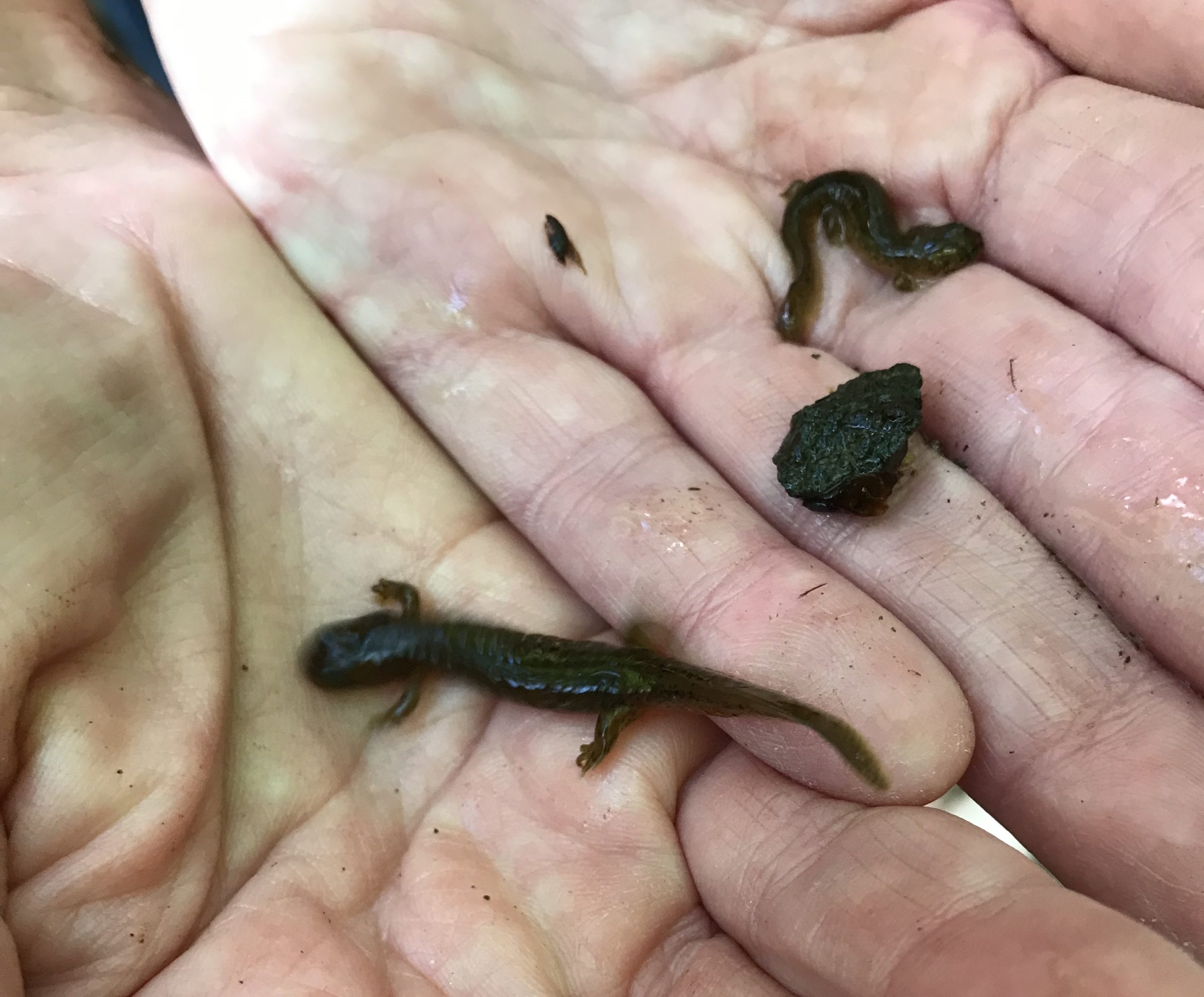
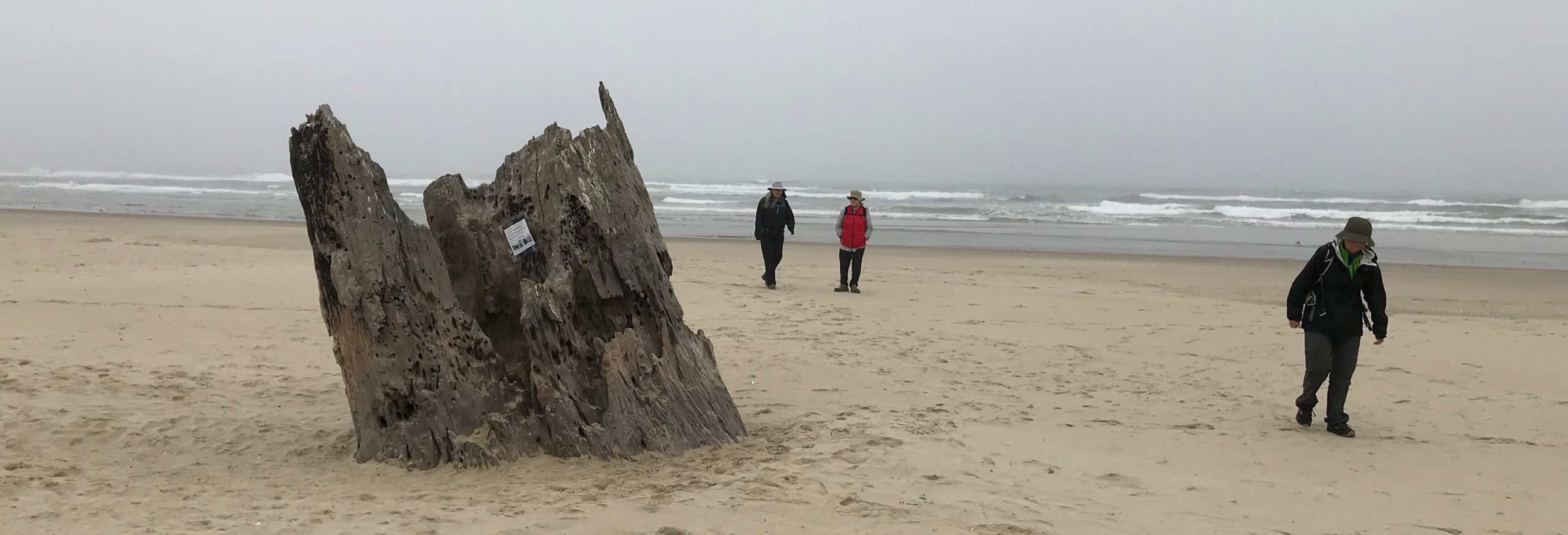
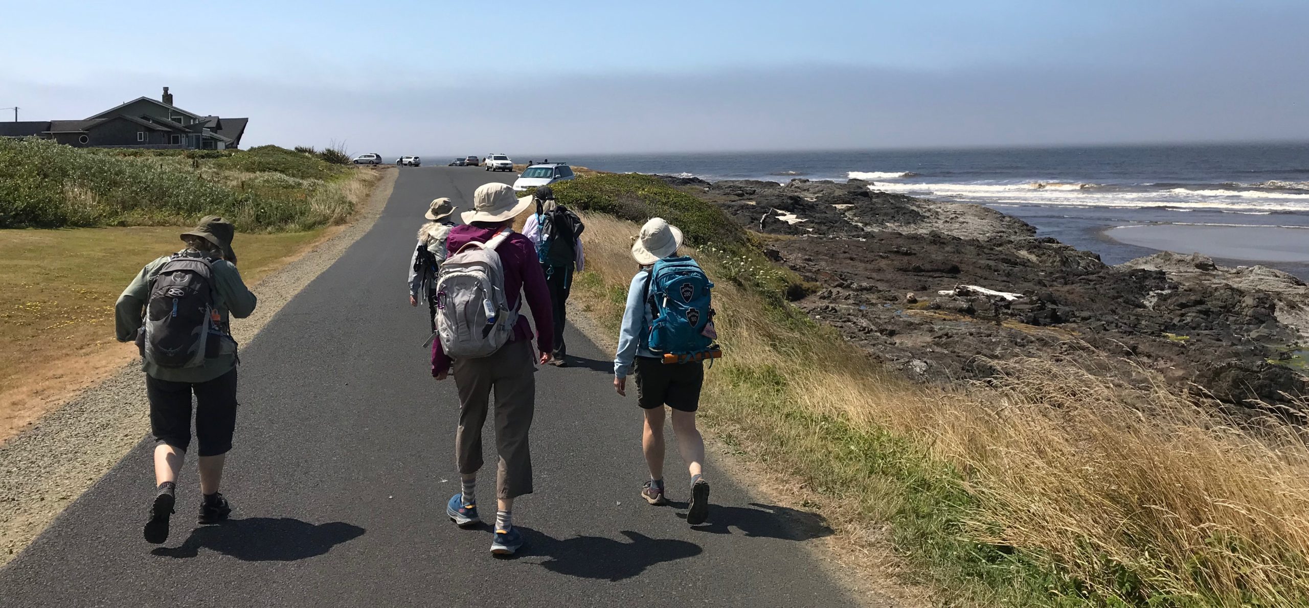
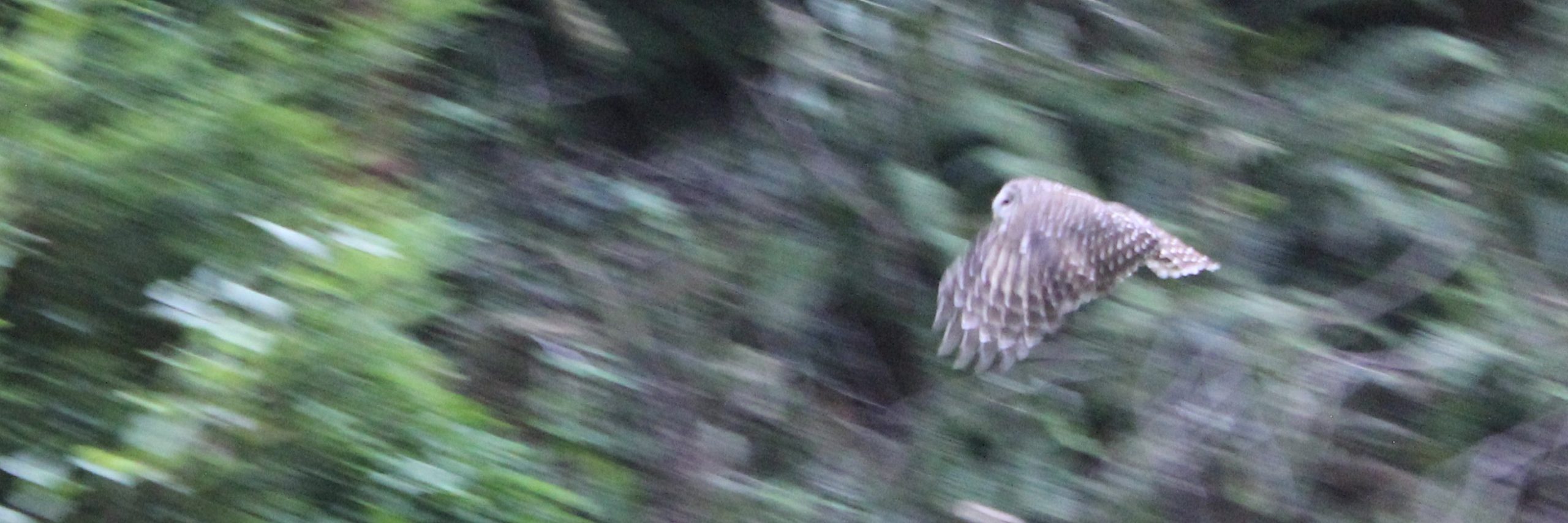
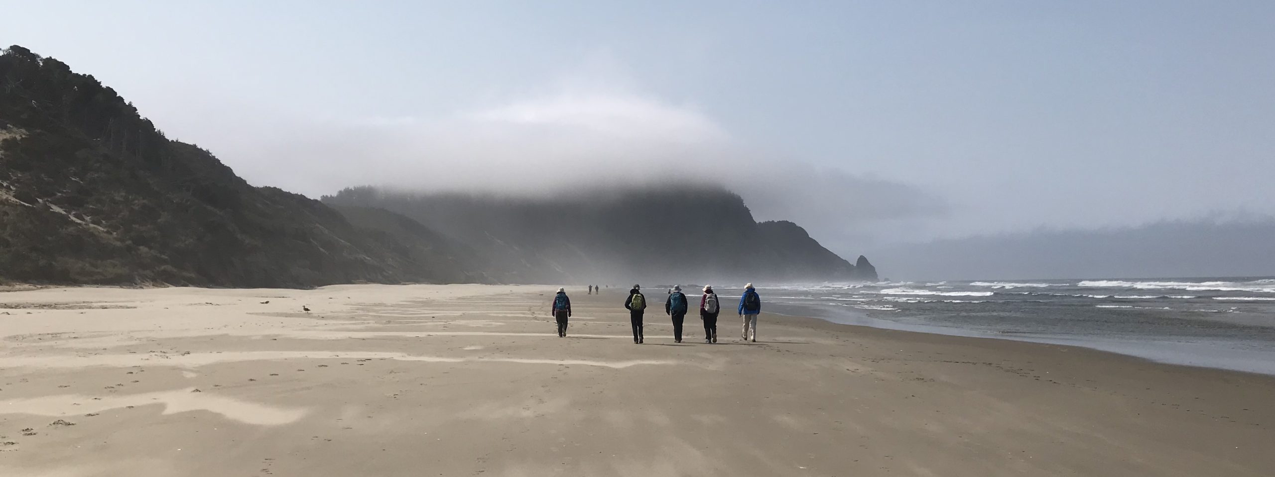
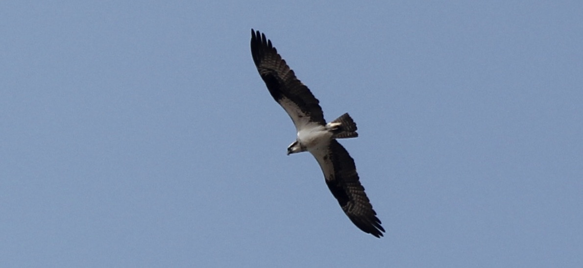
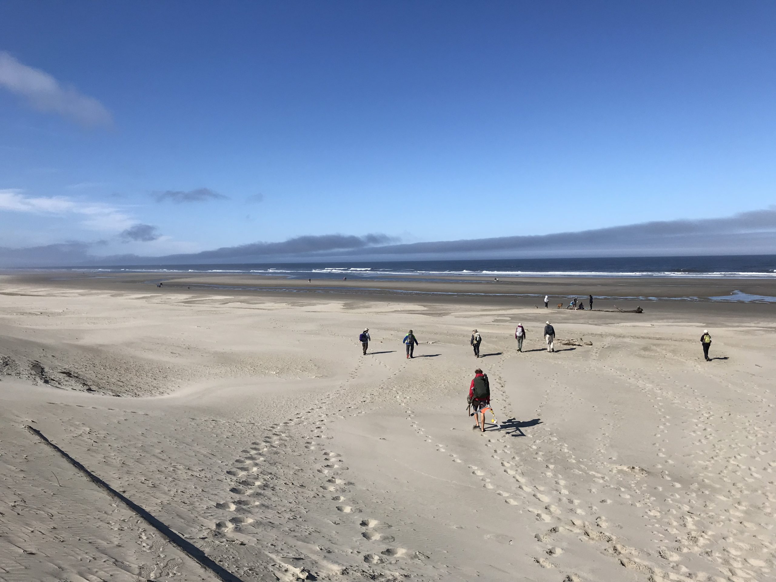
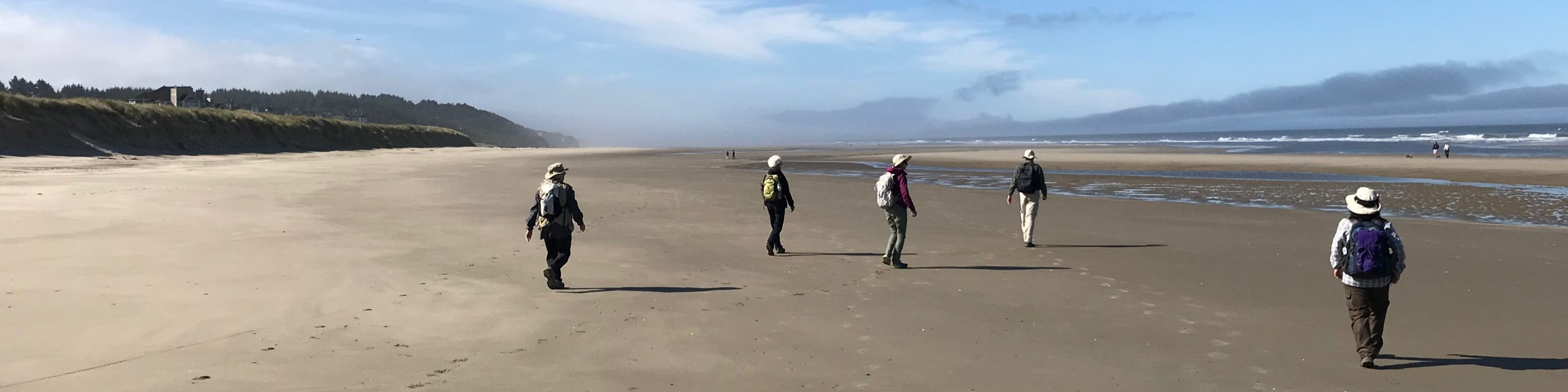
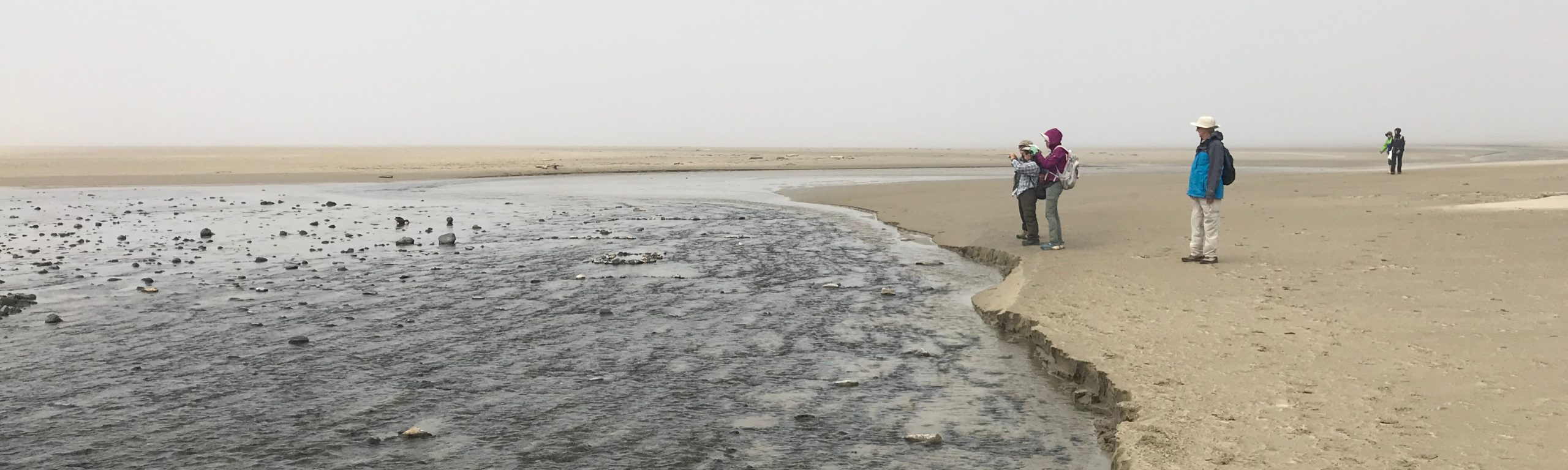
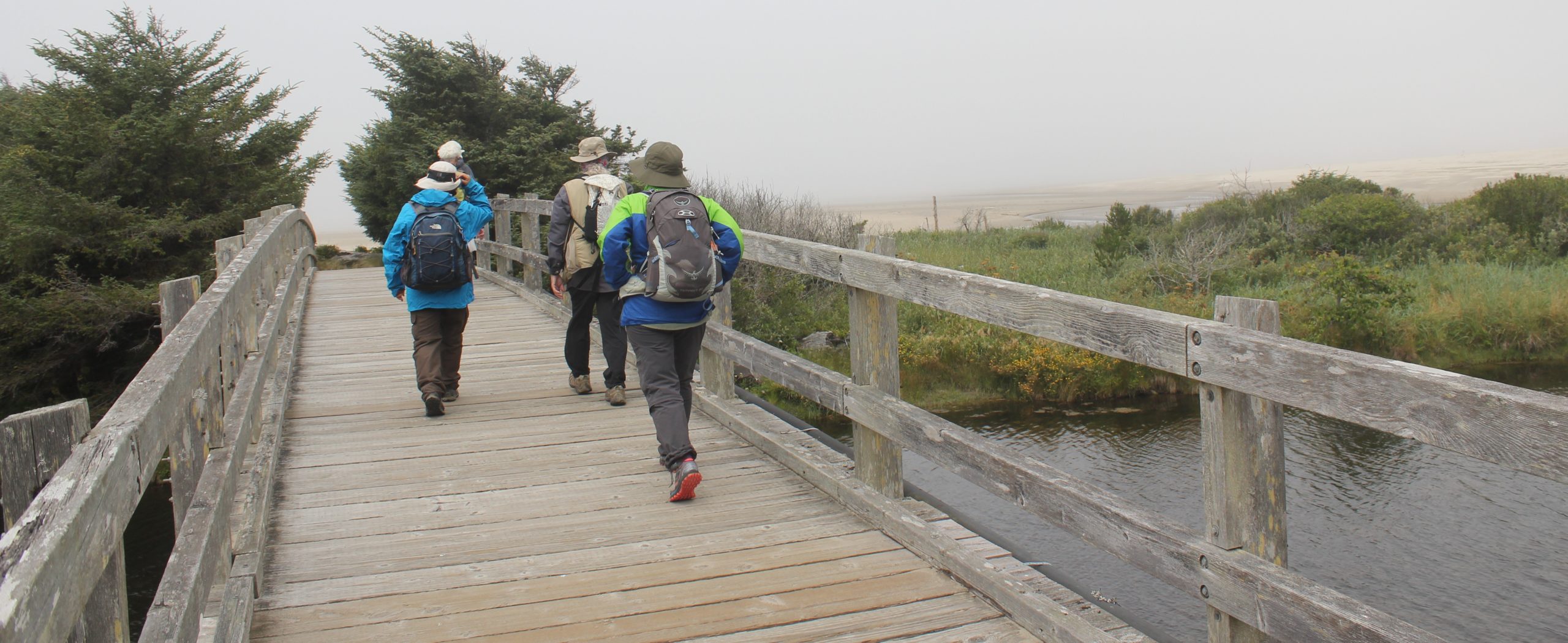
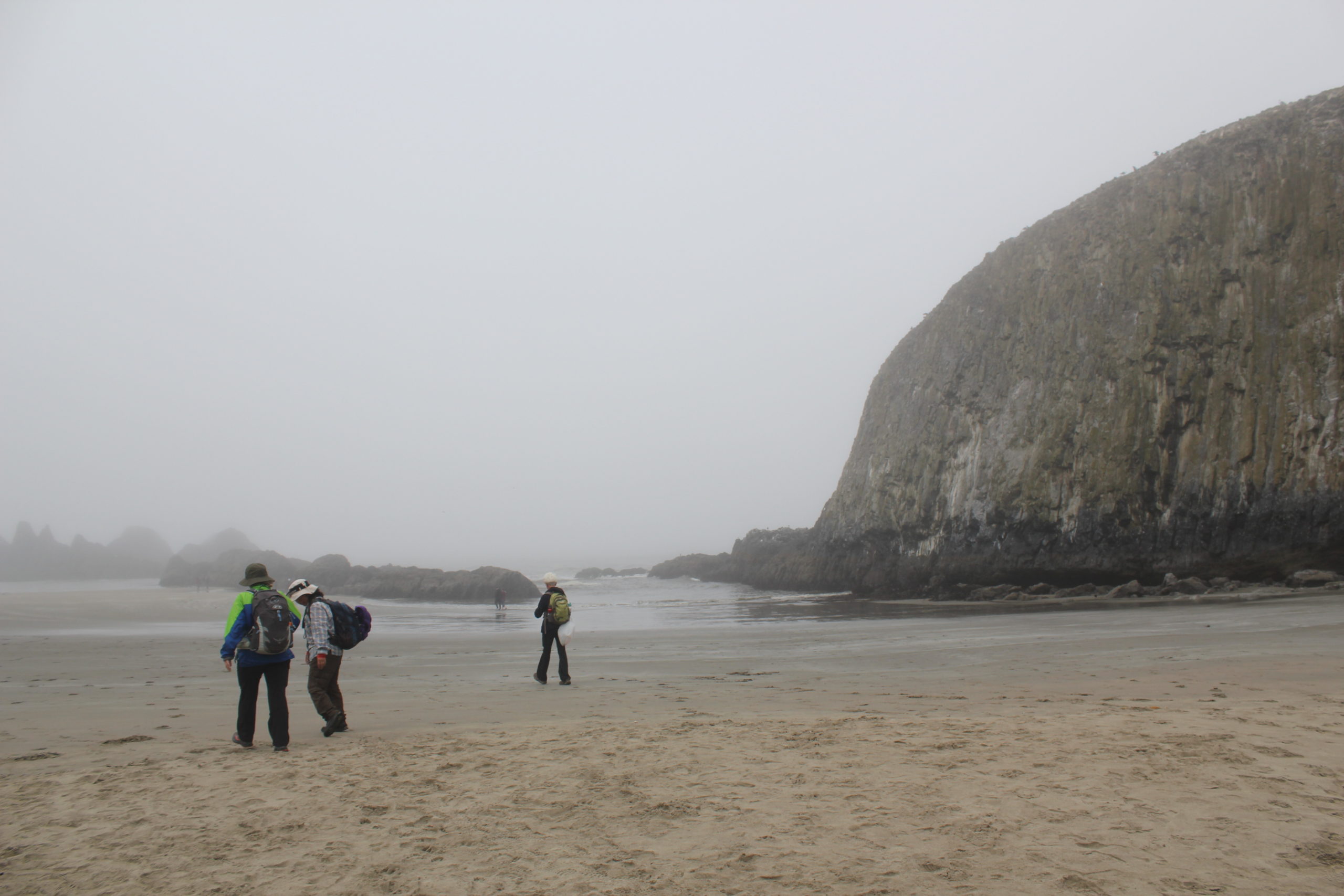
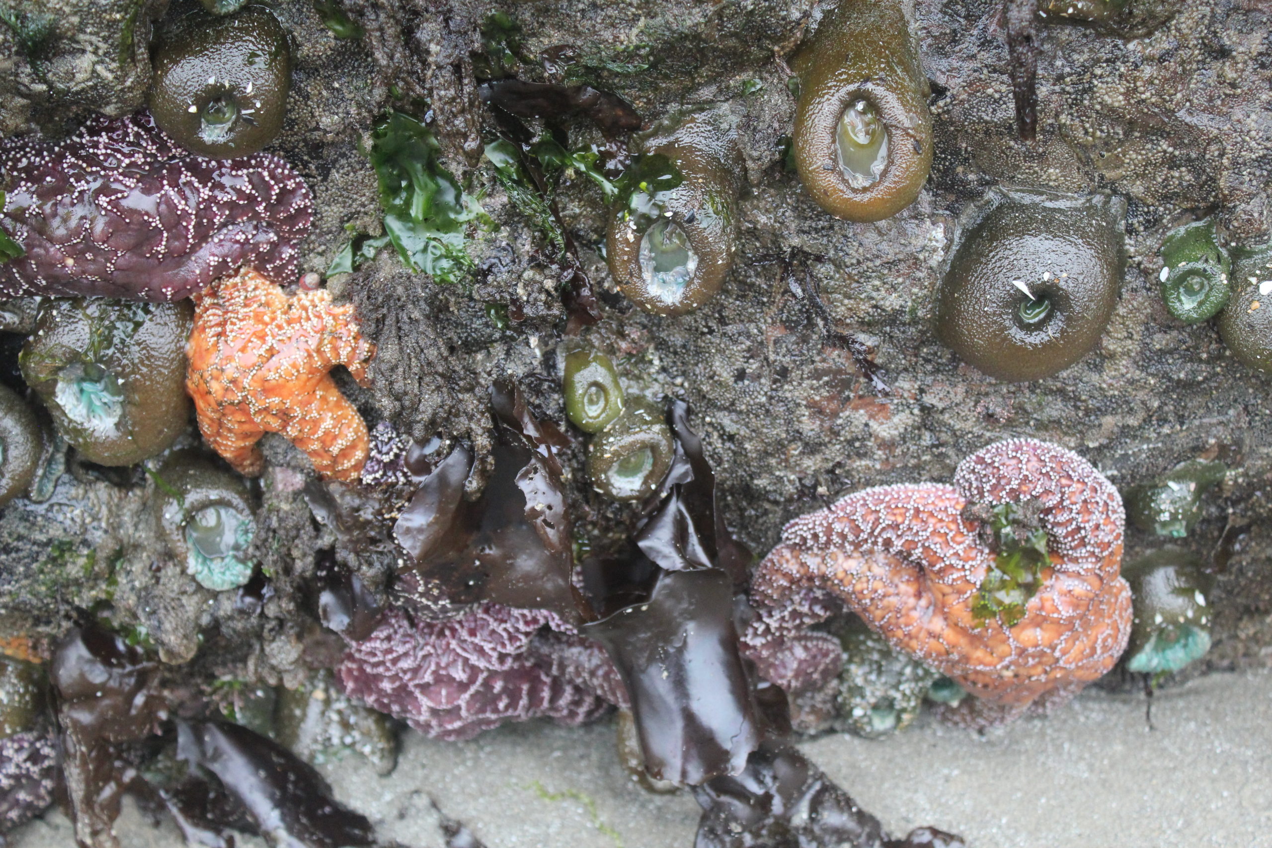
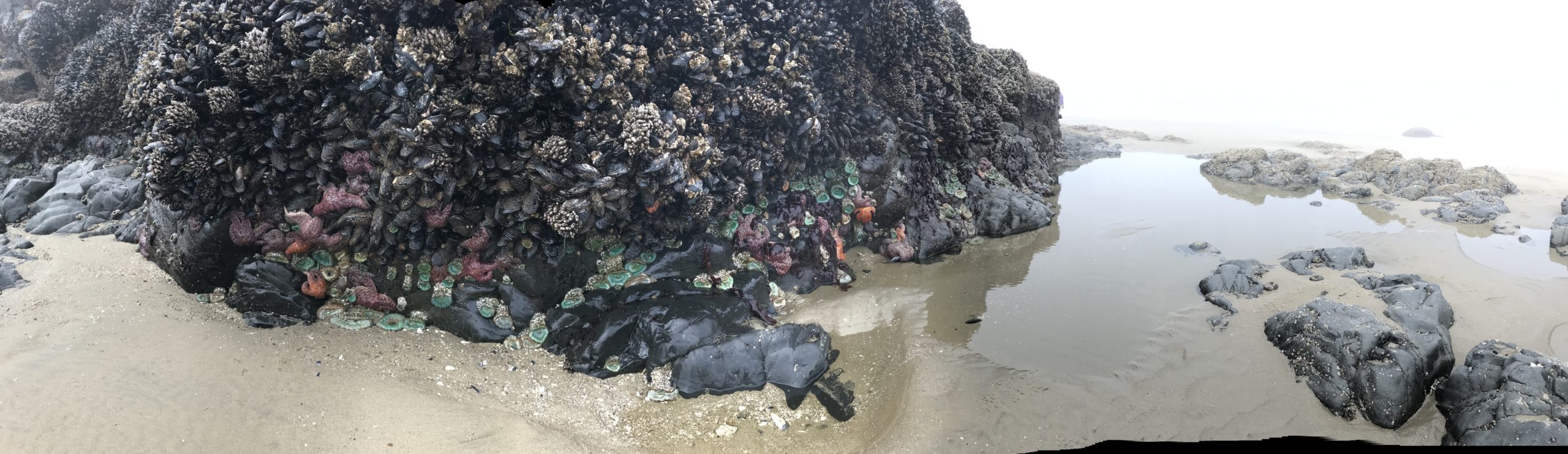
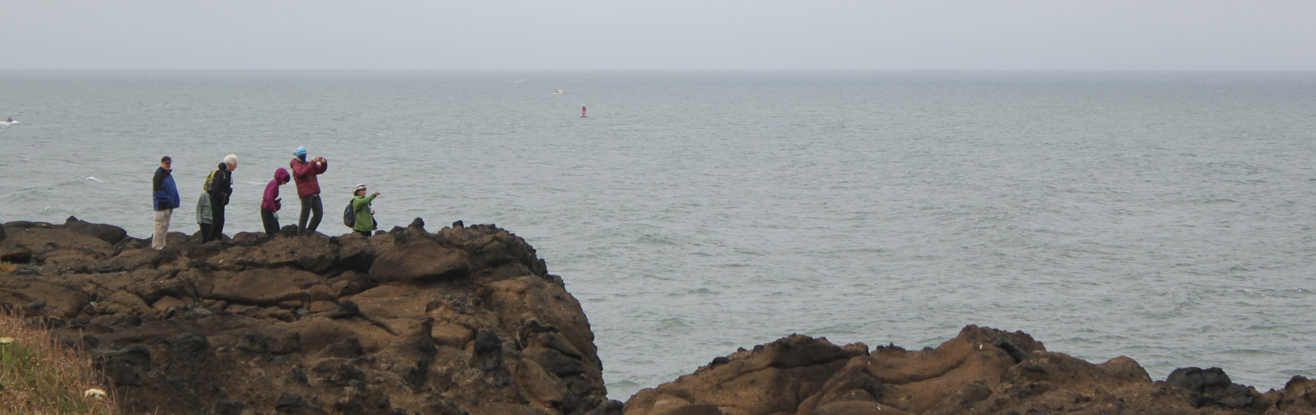
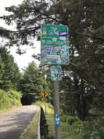
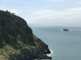
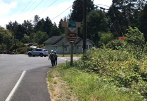
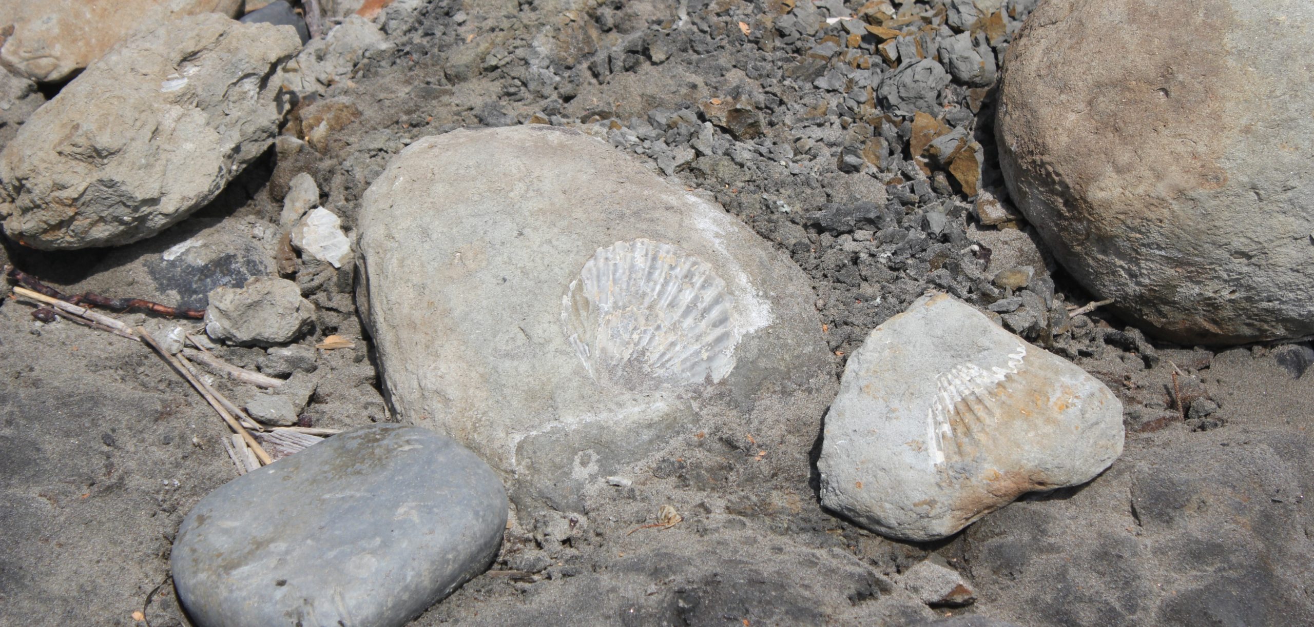
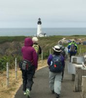
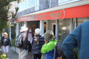
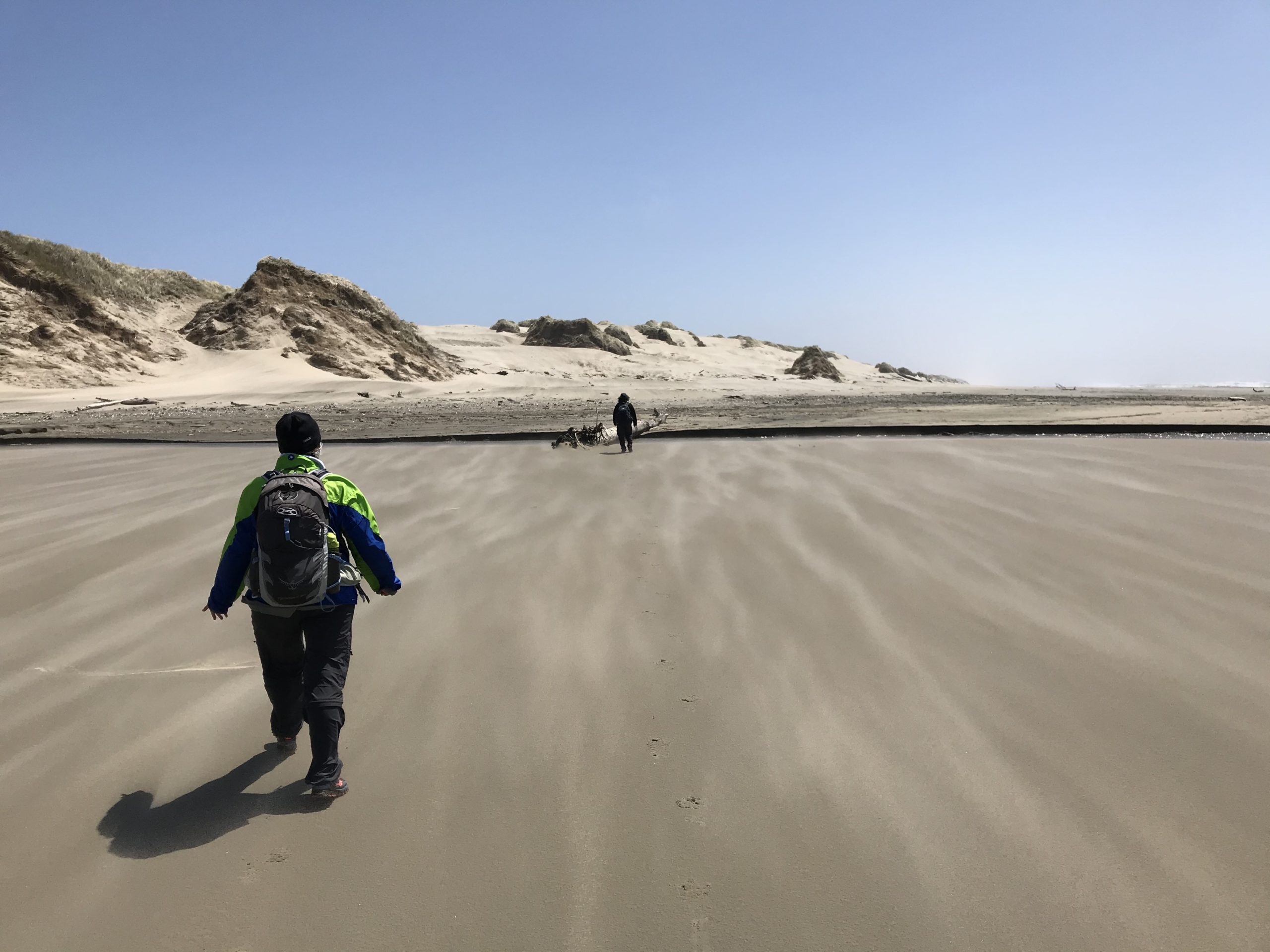
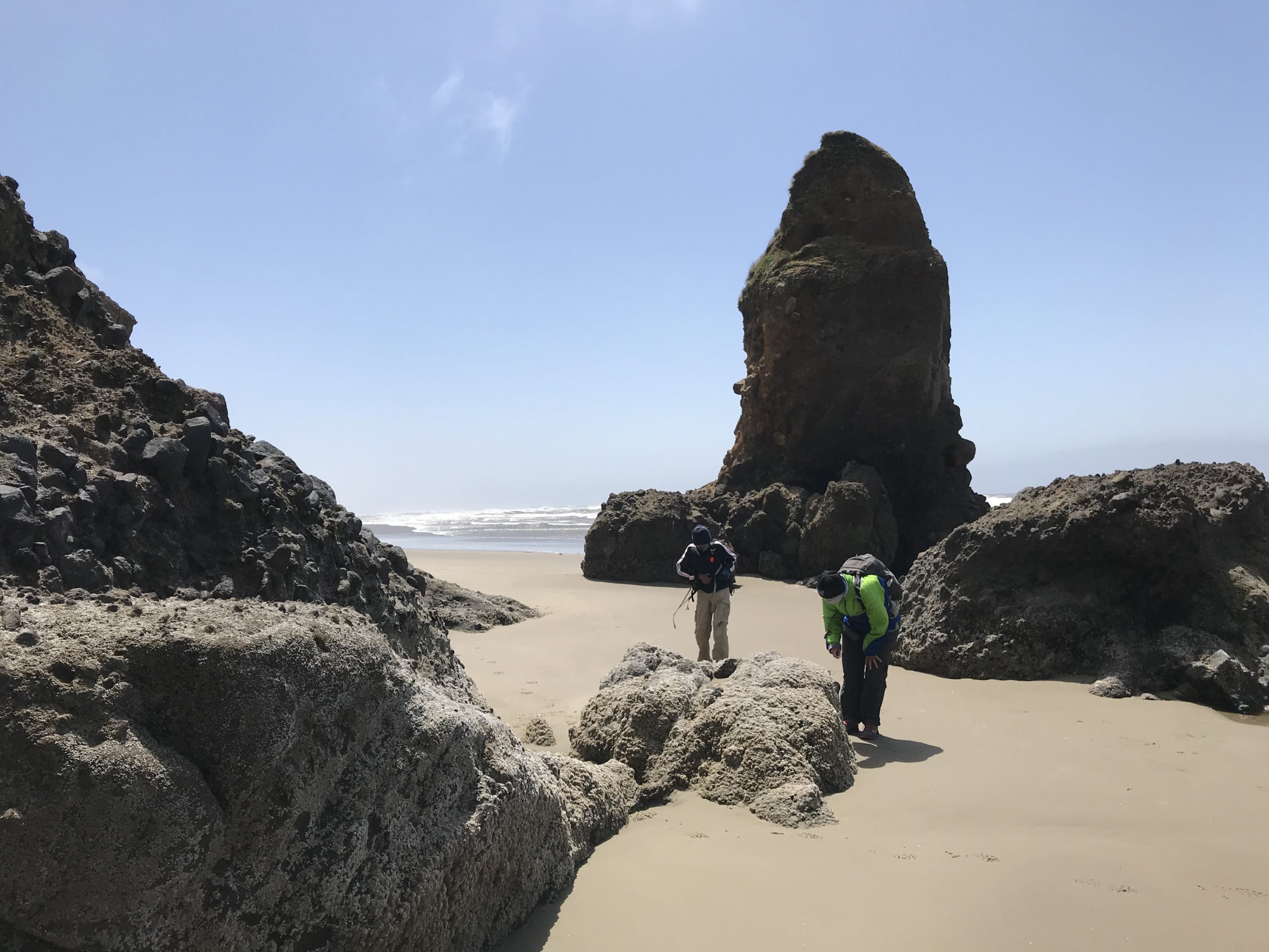
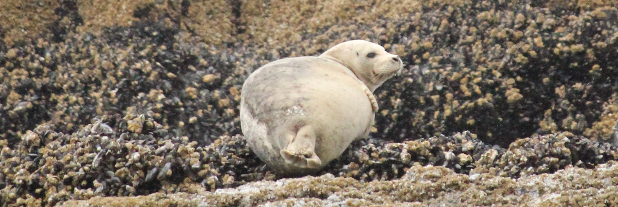
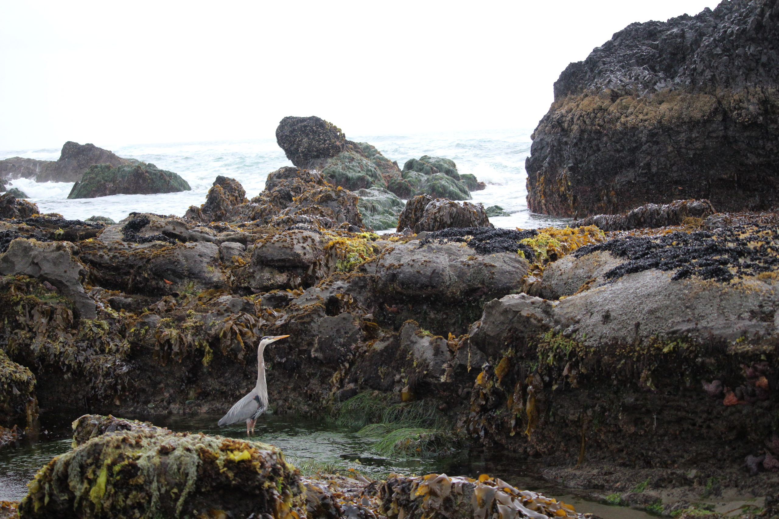
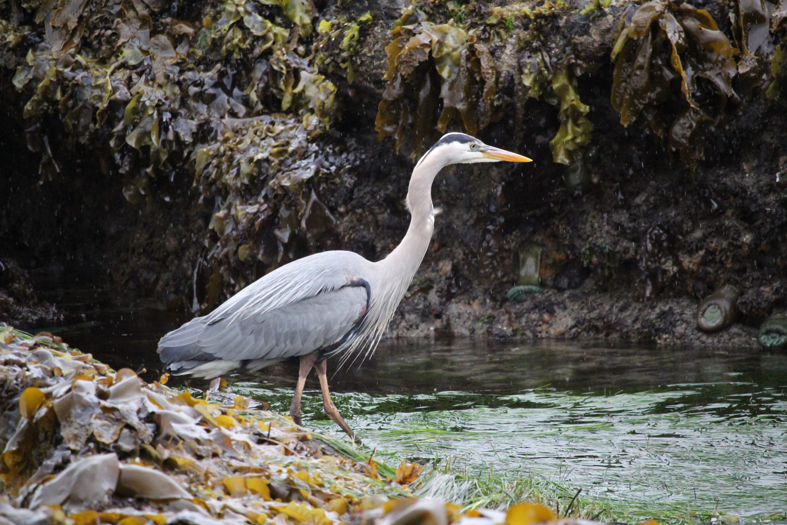
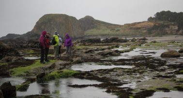
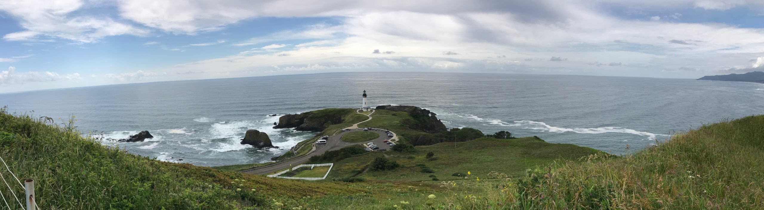
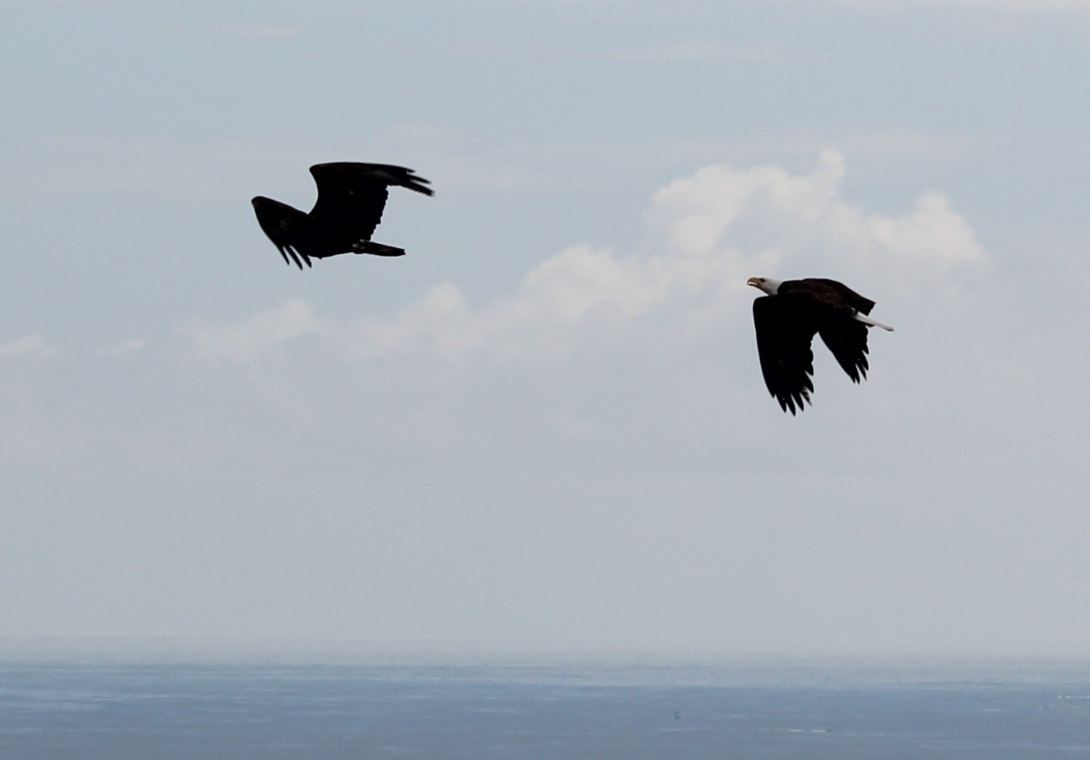
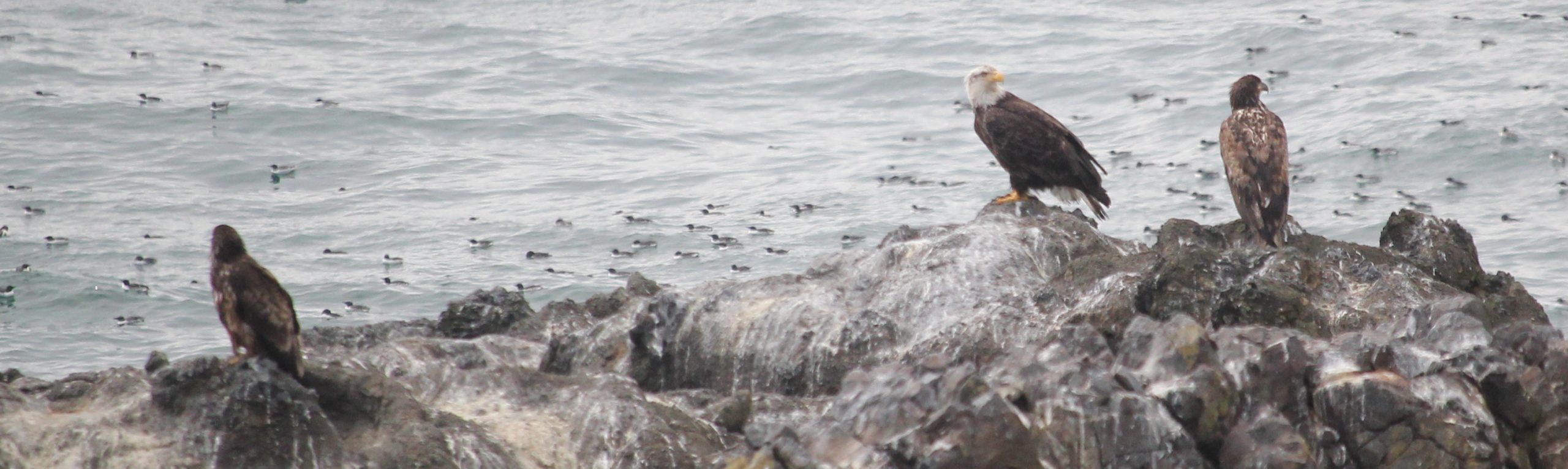
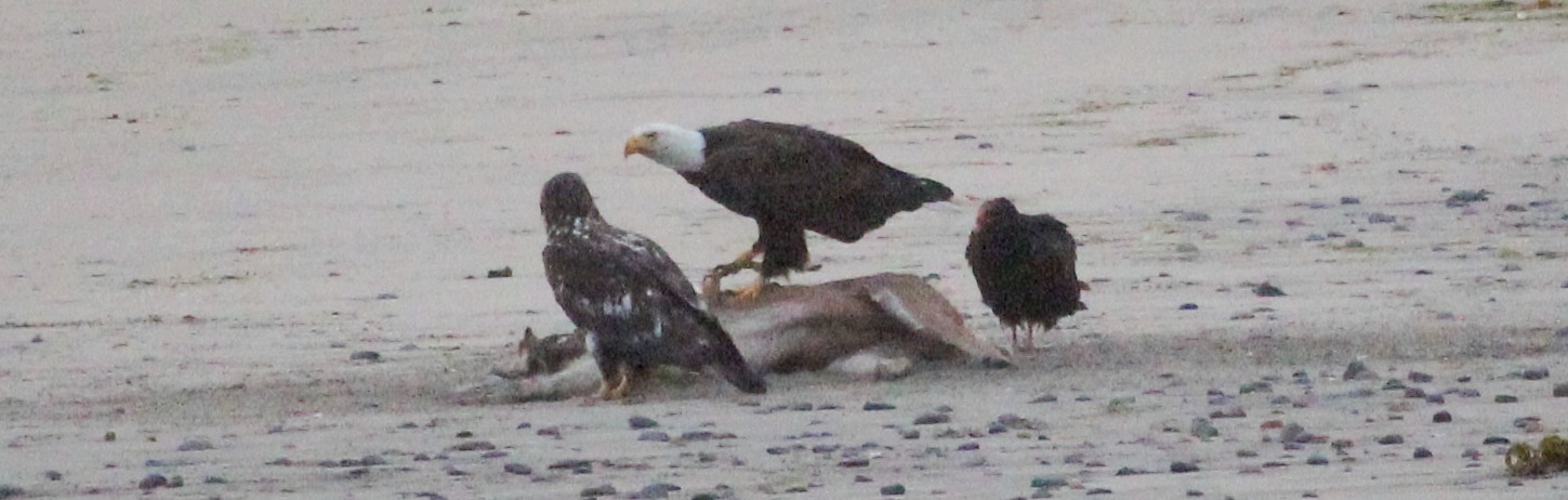
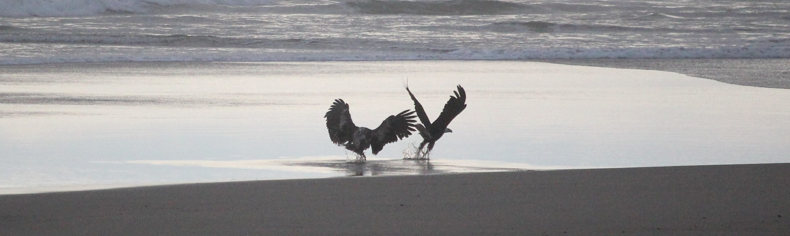
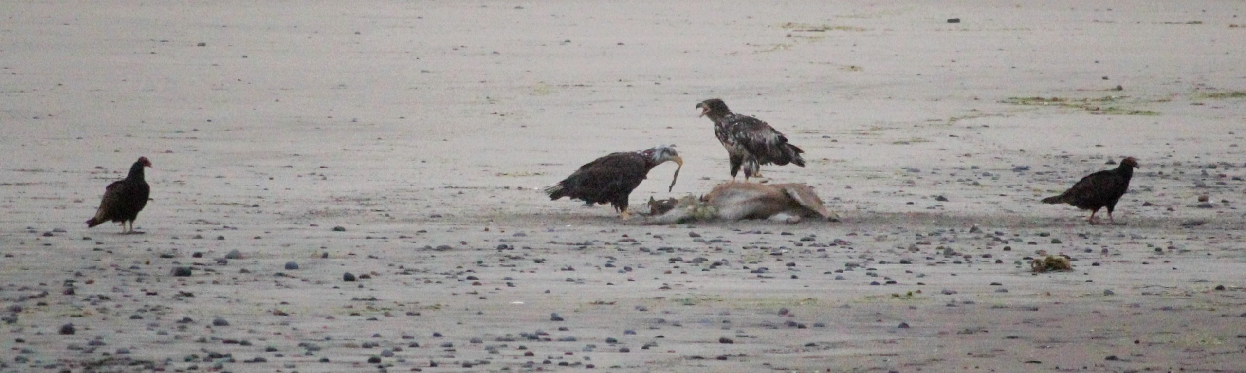
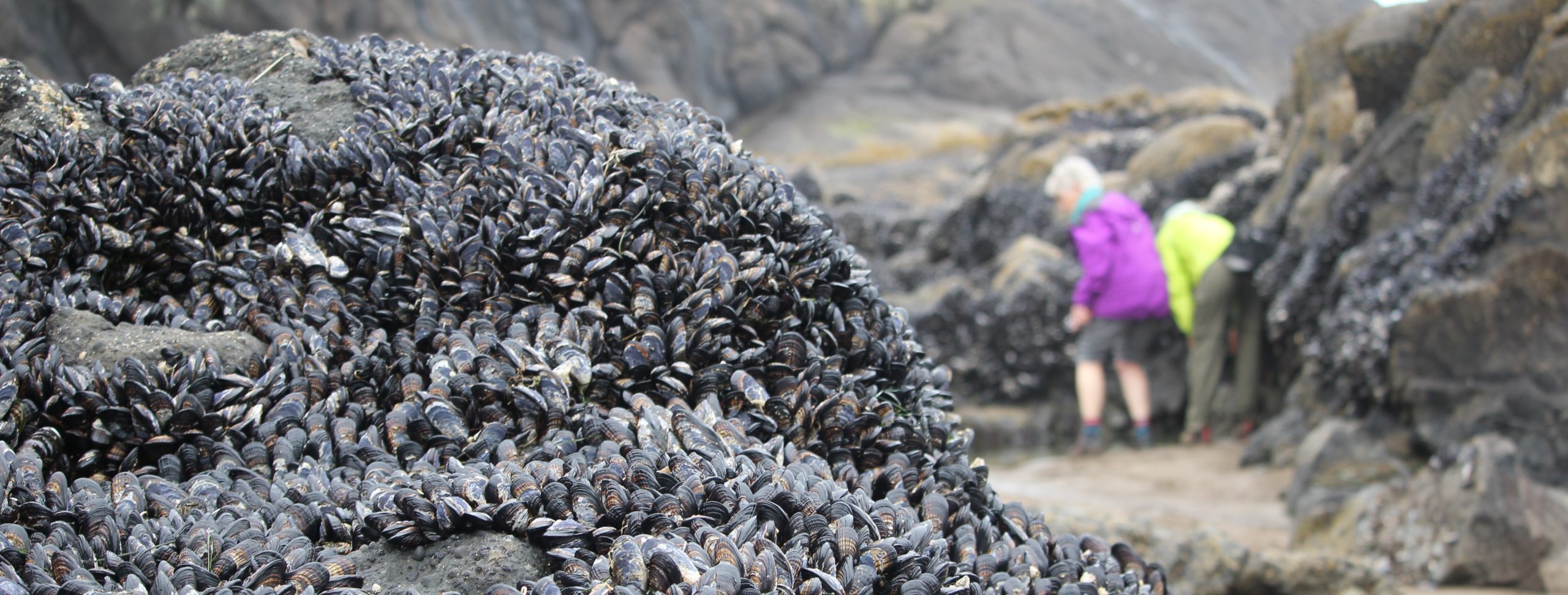
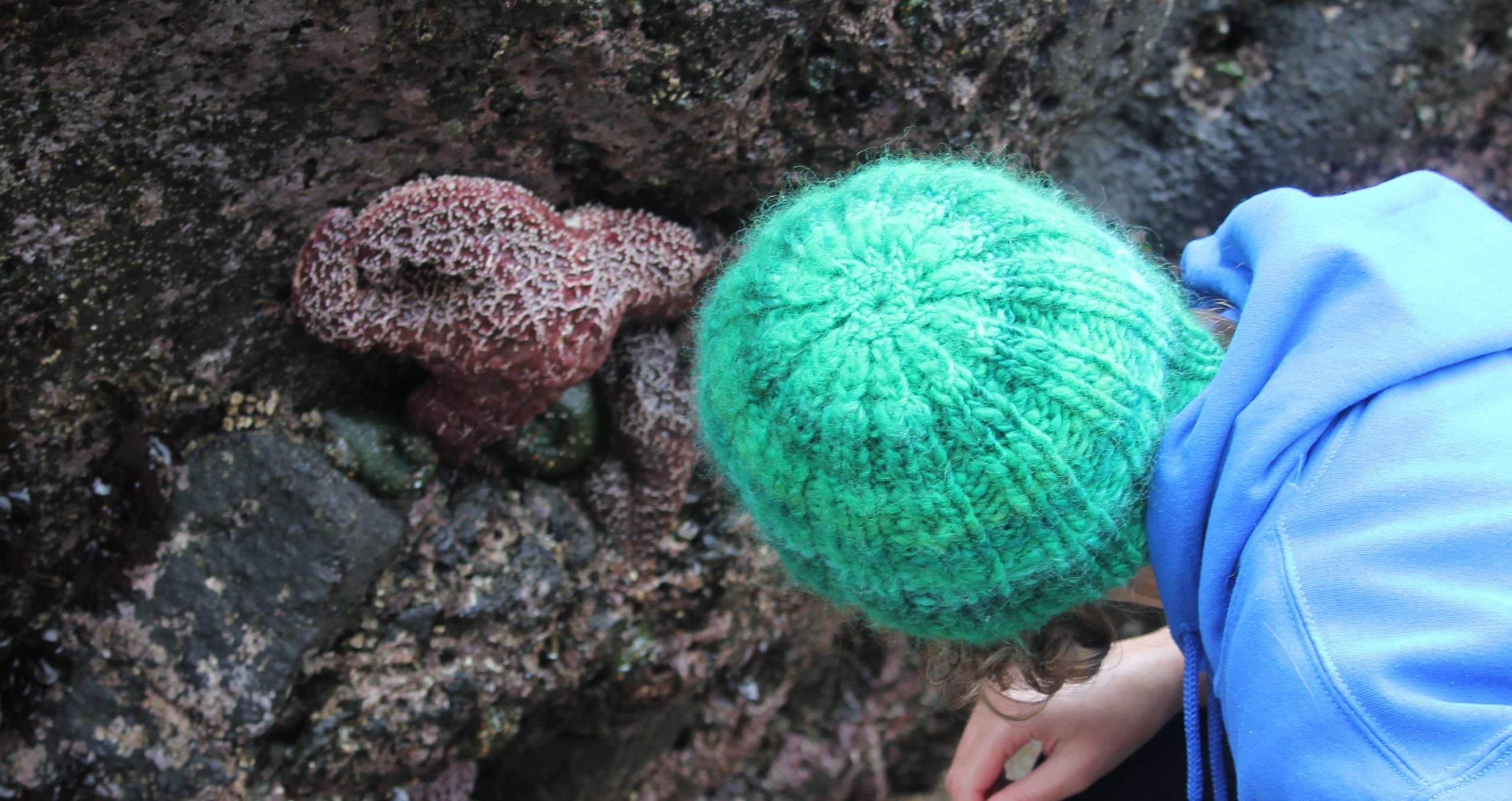
Day 2: At 7 am, we carpooled to an unnamed parking area expecting a filling parking lot, but to the trip leader’s surprise were only 3 cars. The rain, cool temperatures, and overcast skies likely contributed to the low turnout. We arrived about 2 hours before low tide to follow the tide out. This particular tide pool area is special because we can walk on sand and open rocky surfaces to visit ‘islands’ of marine life. After 2.5 hours, and a returning tide, we started back and met several rangers who helped to provide some more context to the area. One ranger said the rain had chased most away that morning. We saw numerous anemones, various seaweeds, chitons, crabs, limpets, mussels, and some small fish believed to be skulpins. Also observed were a pacific harbor seal, seagulls, and great blue heron. Later that morning, we drove to a coffee shop in Nye Beach to warm up. Then half of the group ventured back to the campground, and the other half visited the Hatfield Marine Science Center. That afternoon, we met up at the Yaquina Head Outstanding Natural Area and saw at least 4 bald eagles in addition to the common murres, surf scoters, and pigeon guillemots. One participant said that in 30 years of visiting Yaquina Head she had not seen that many eagles there as that day. That evening we enjoyed dinner around a campfire. Several of the group visited the beach at sunset to see up to 8 large birds visiting what appeared to be the body of a deer on the beach (the deer had not been there 24 hours earlier). The deer had been possibly struck by a vehicle on the nearby highway and made it to the beach before dying. Near the body were 8 birds; 3 were vultures, 2 were adult bald eagles, and 3 were juvenile bald eagles. The interactions between the birds were raucous at times. Just at sunset, the eagles departed and the vultures returned. That evening the rain returned.
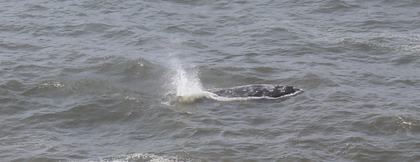
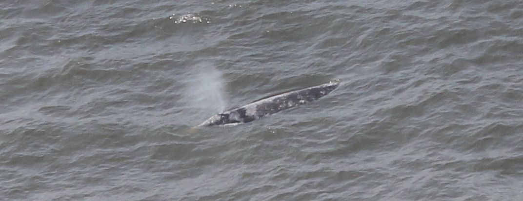
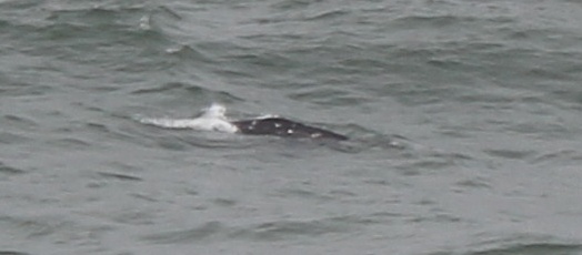
Day 3: We awoke to a wet campsite and decided to meet in Depoe Bay at 9 am. Some broke camp early to grab some breakfast in town. In Depot Bay the group met up again, and we looked briefly for whales, but saw no signs, then drove north to Fogarty Creek to enjoy a -1.5 foot low tide. After an hour and a half, everyone departed for home.
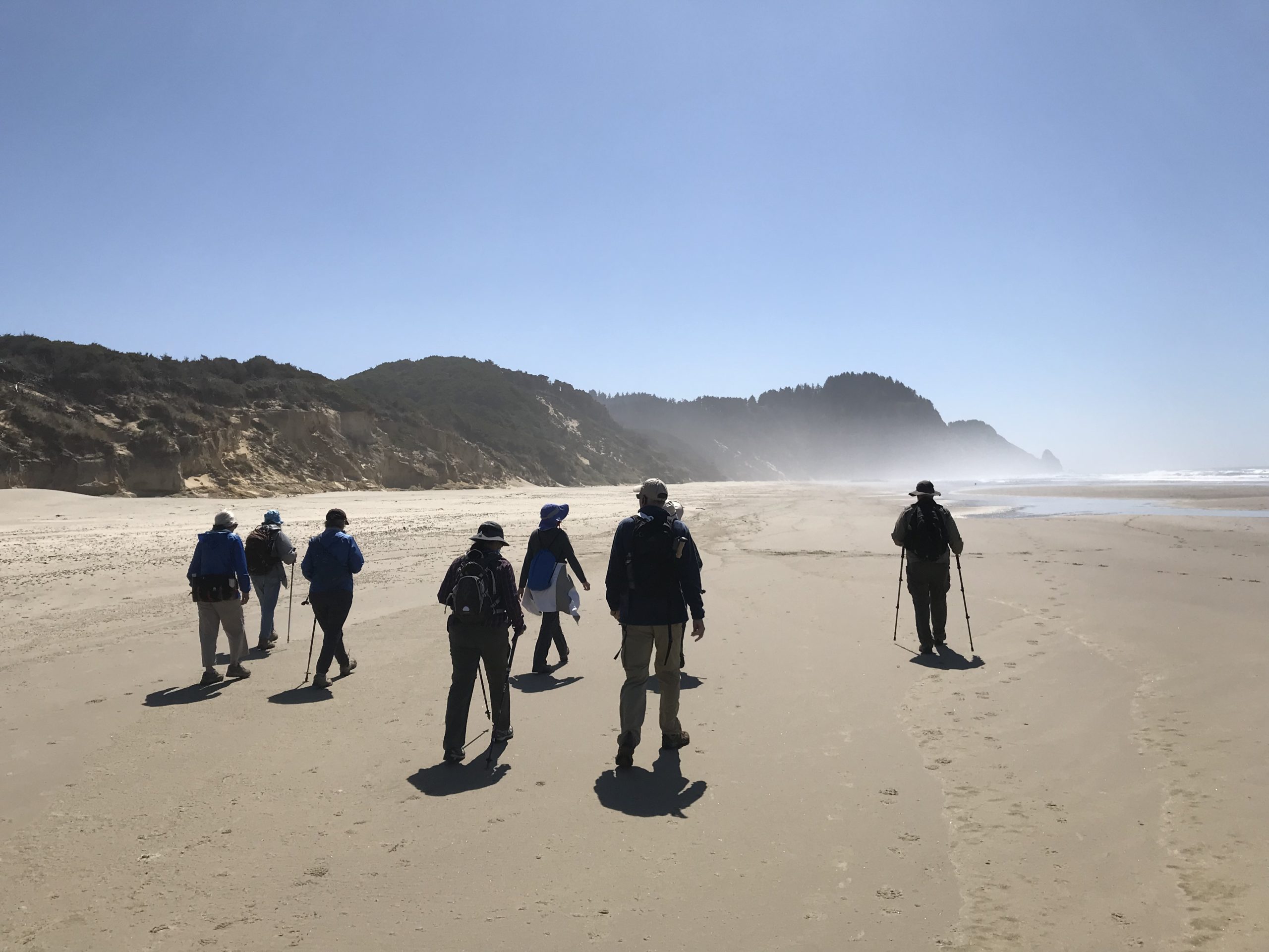
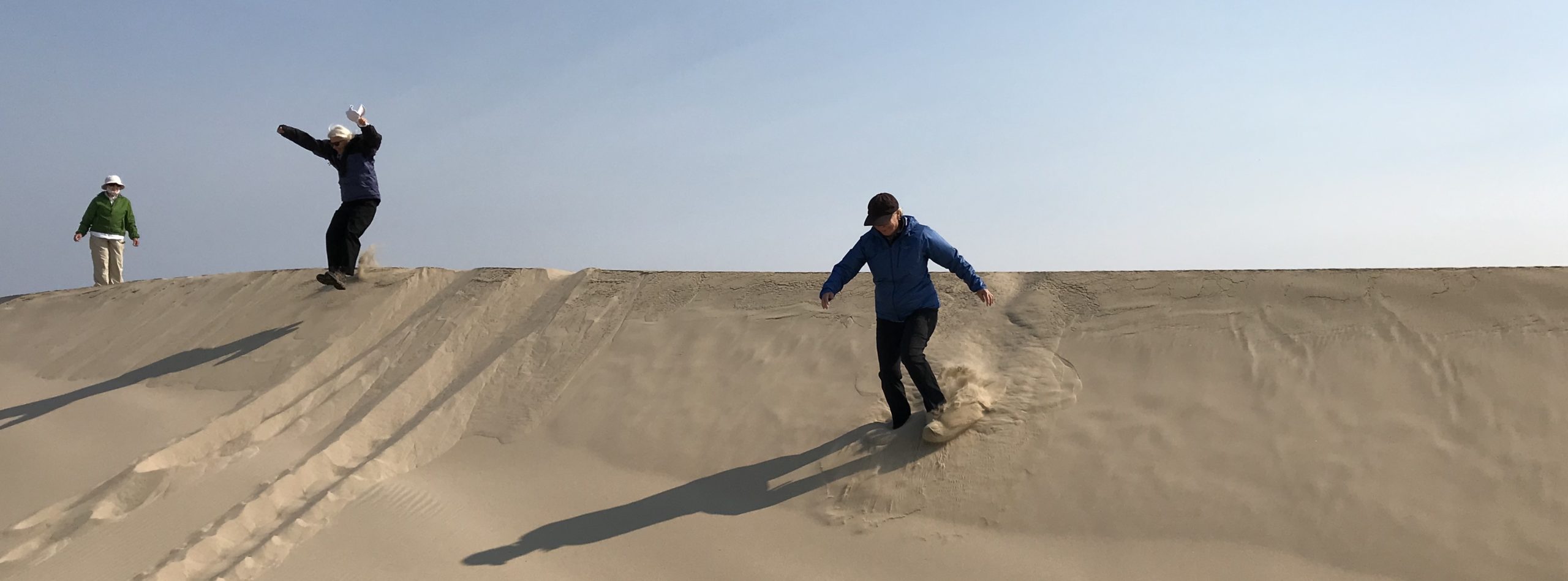
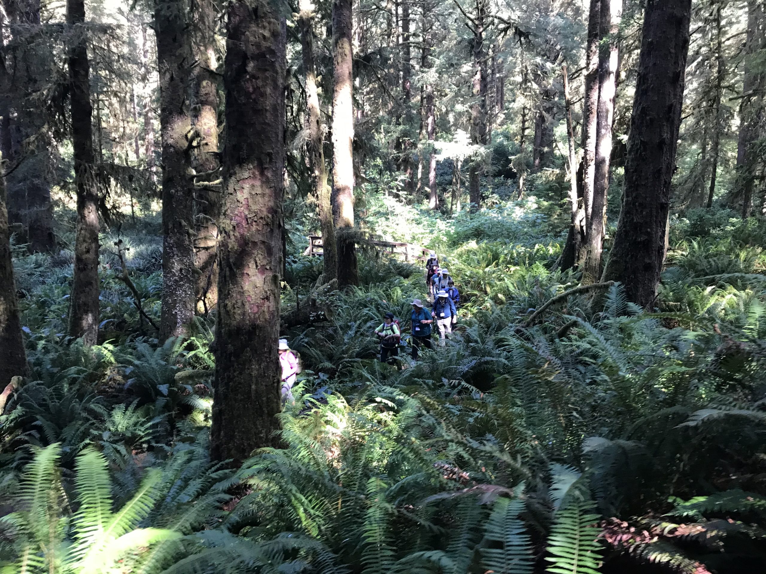
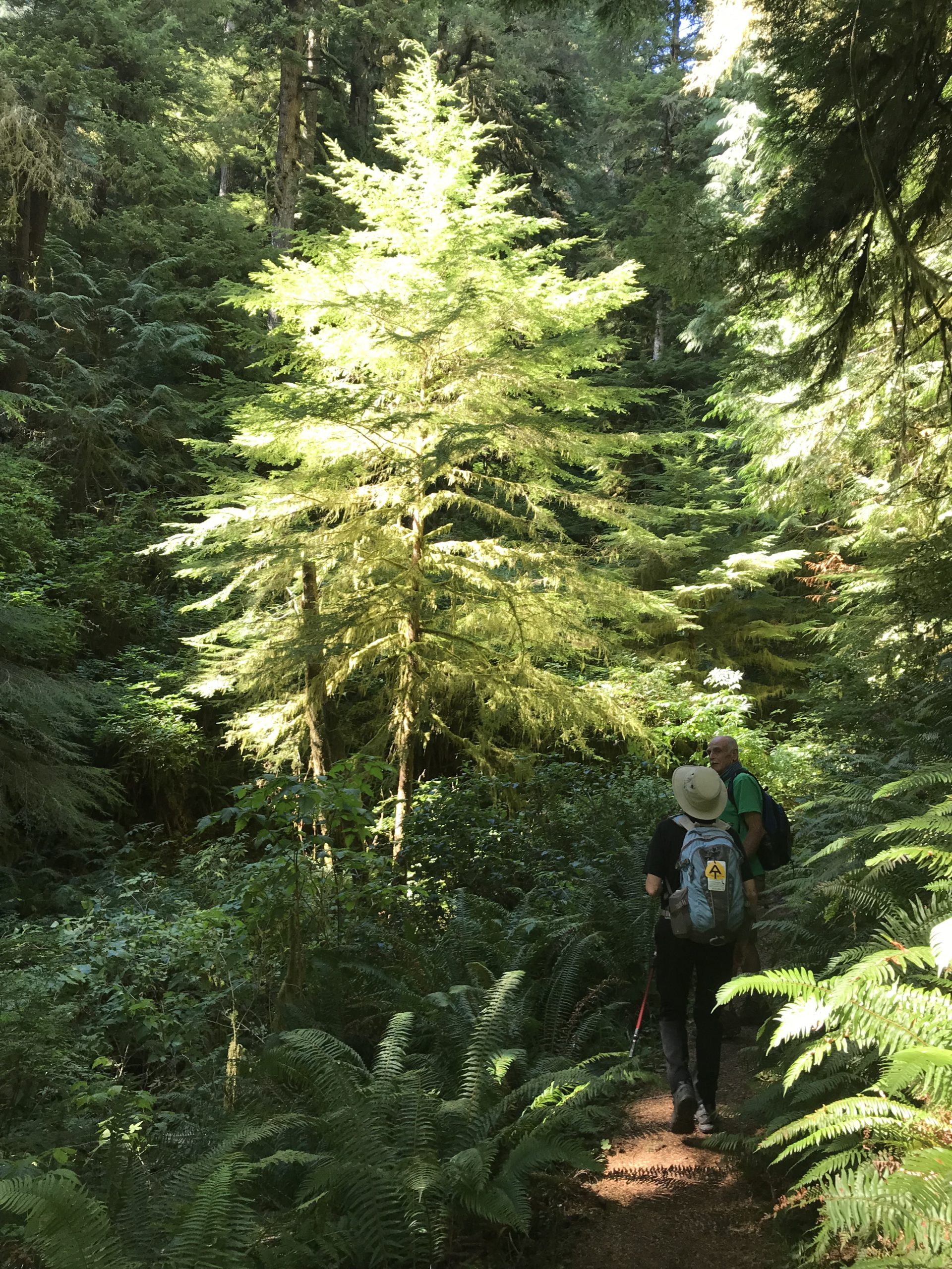
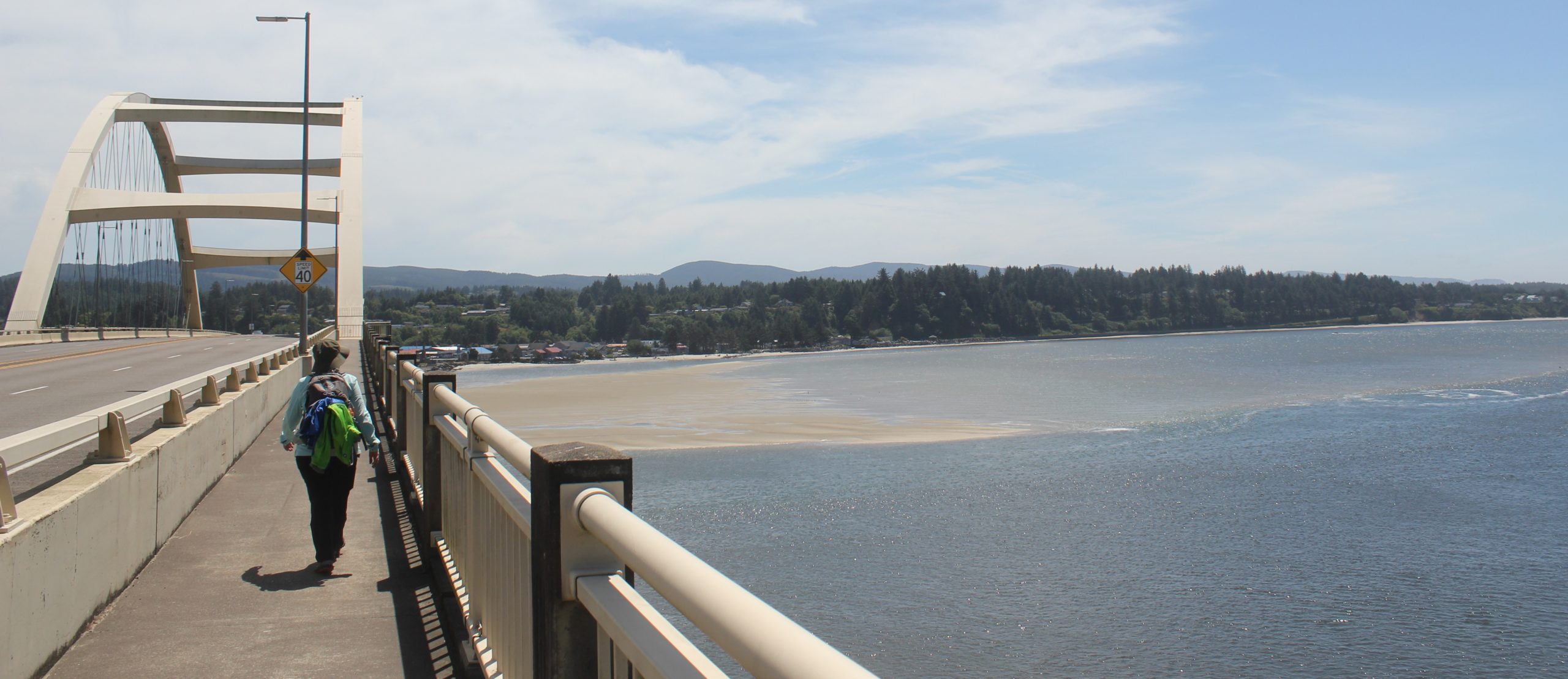
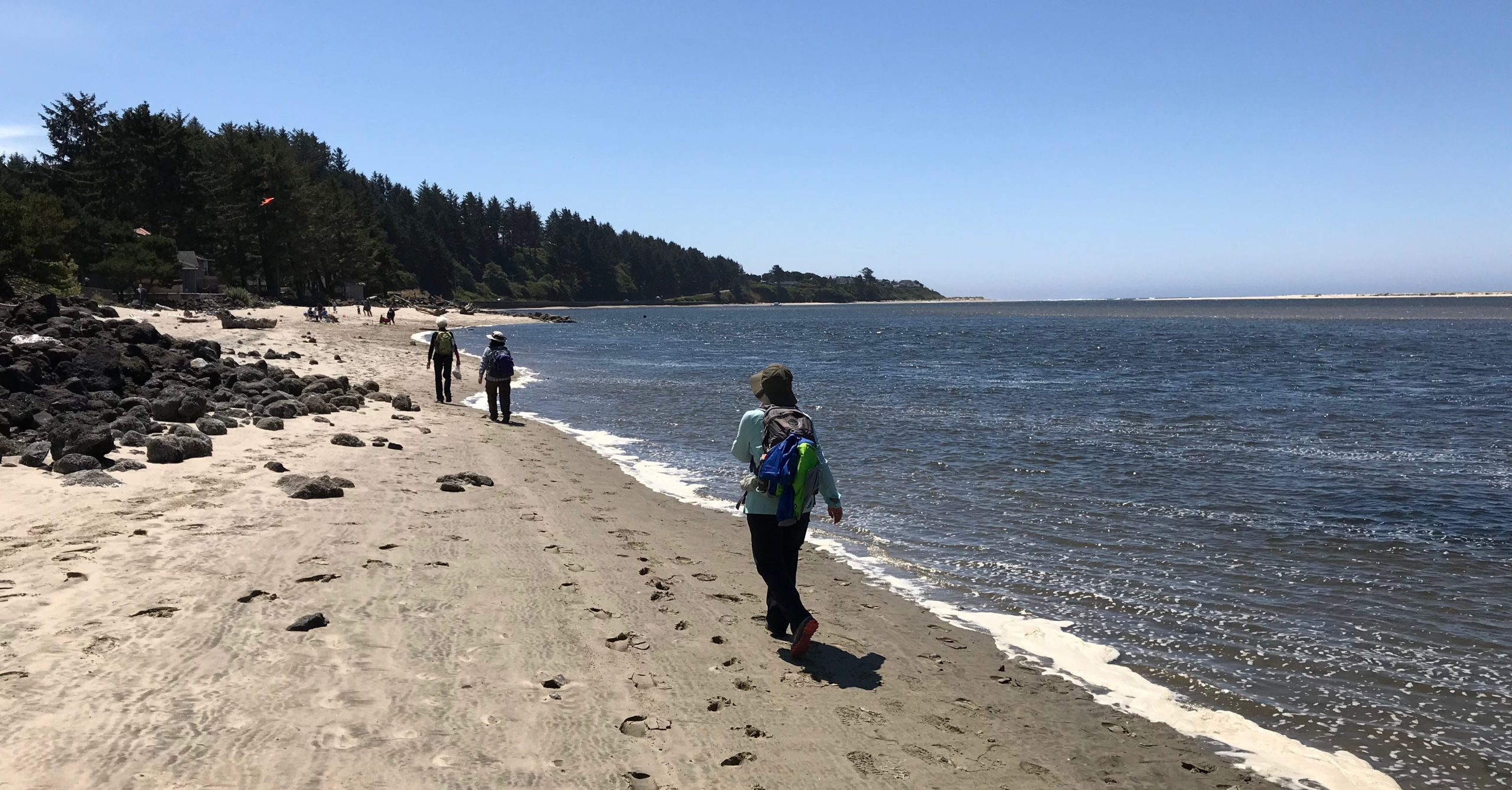
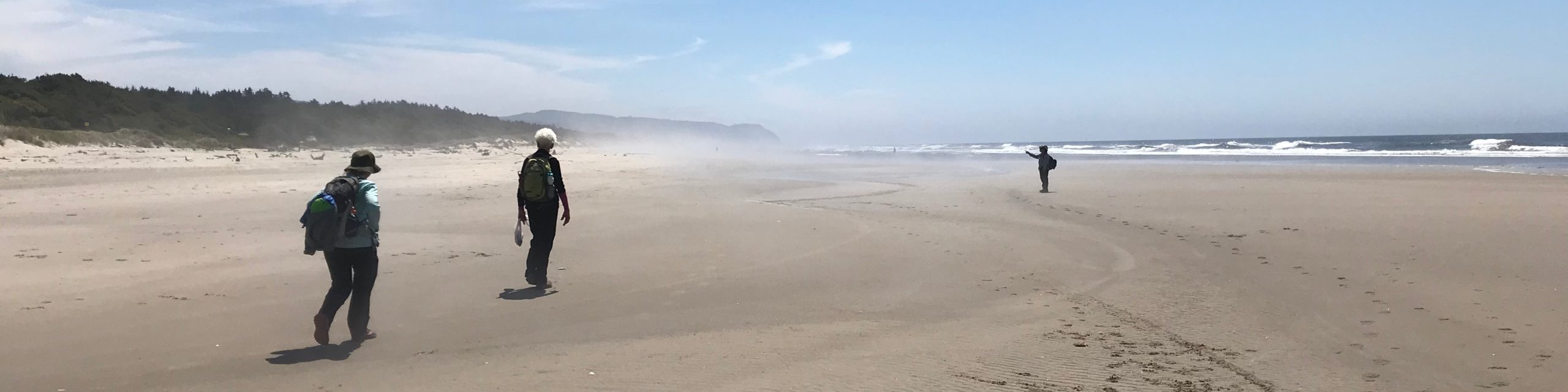
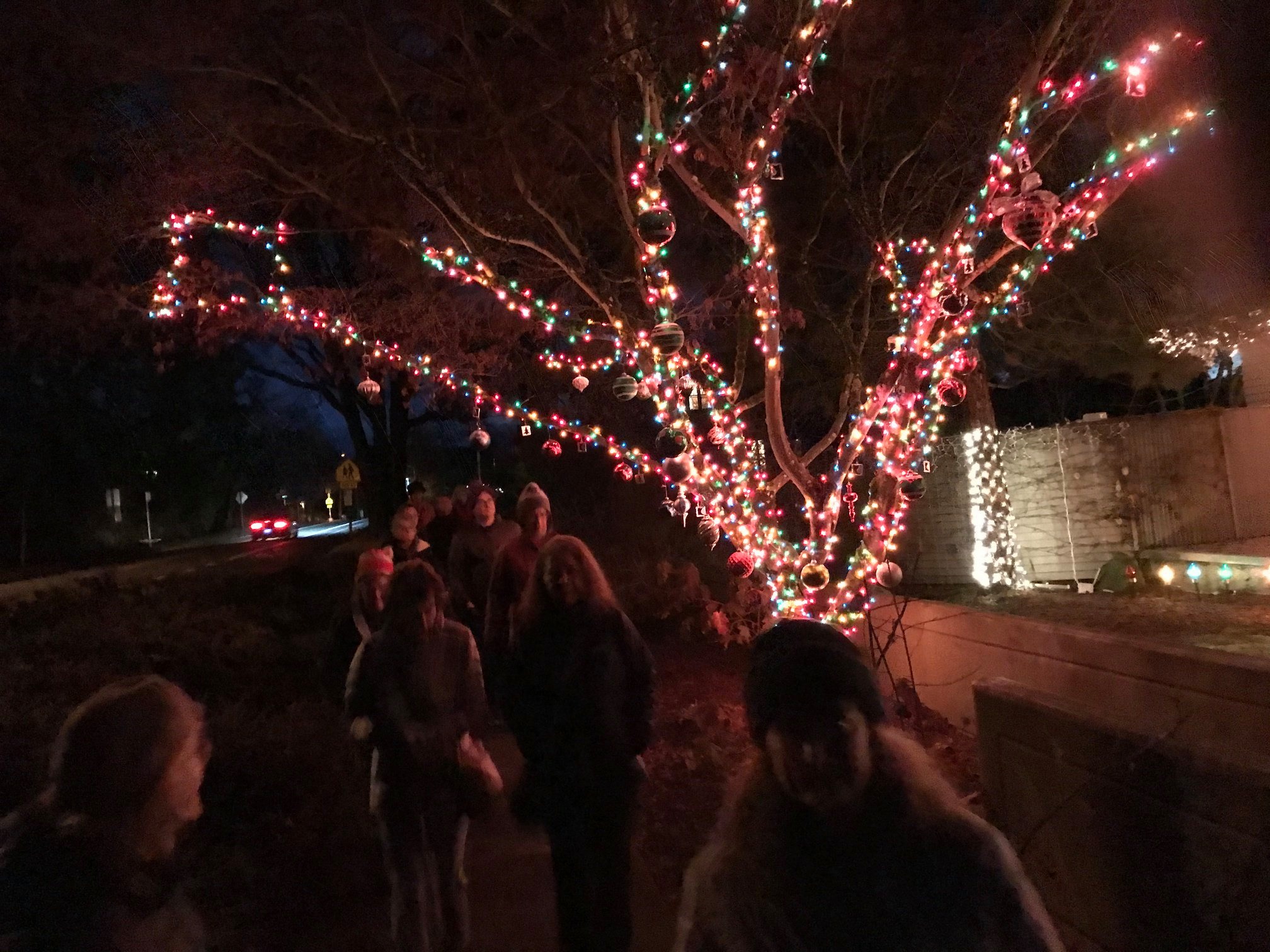
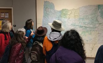
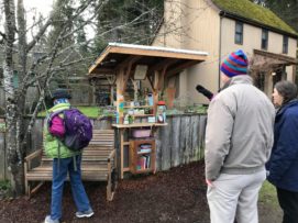
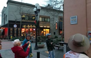
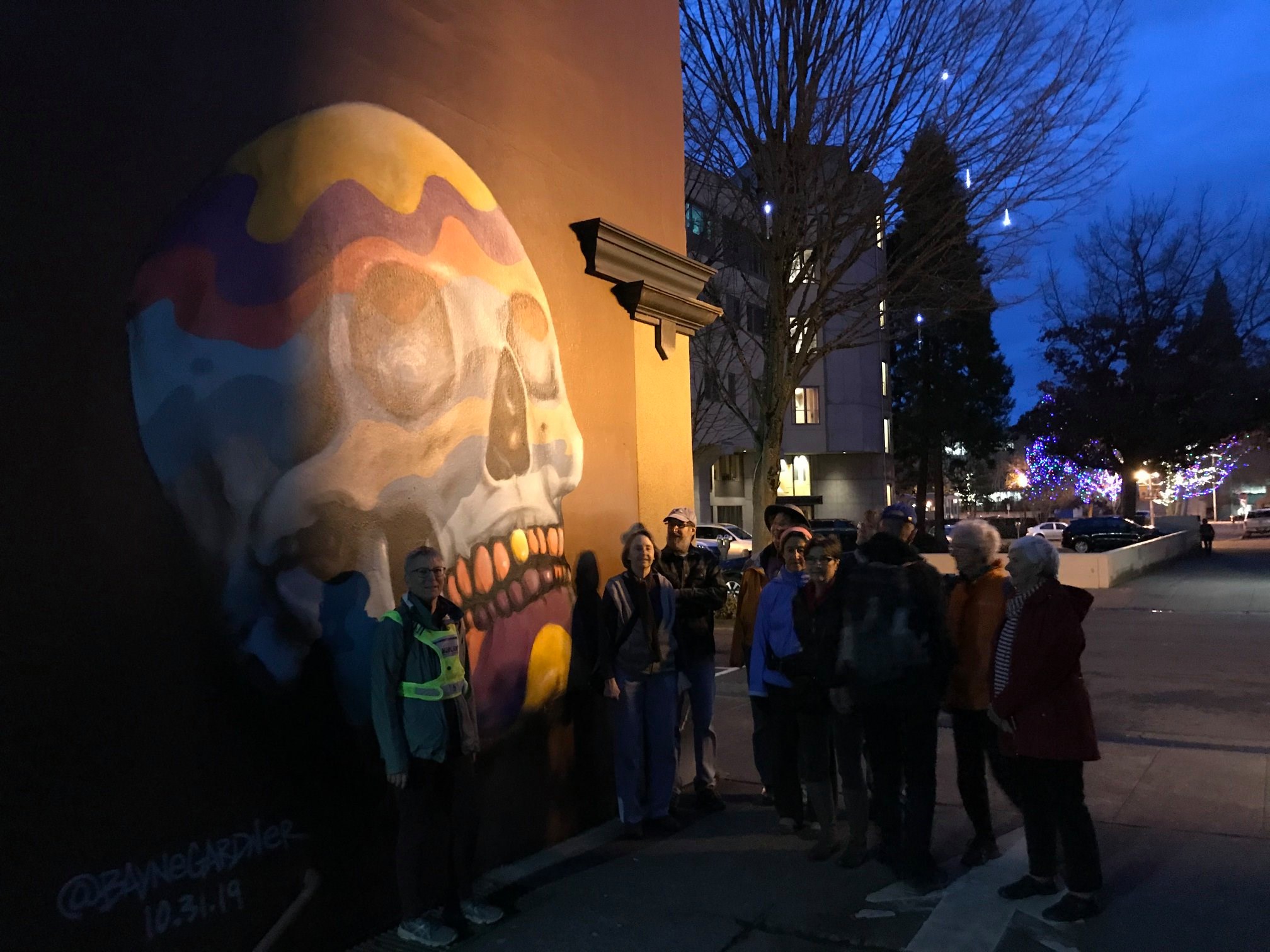
 Group Leader: Mark Hougardy | Organization: Eugene-based hiking club | Date: March 2022 | Walking Distance: 2 miles | Participants: 10
 Trip Report:
 Trip Report: